2065 Birds Run Rd Bridgeport, WV 26330
Estimated Value: $143,000 - $210,000
3
Beds
1
Bath
960
Sq Ft
$177/Sq Ft
Est. Value
About This Home
This home is located at 2065 Birds Run Rd, Bridgeport, WV 26330 and is currently estimated at $169,886, approximately $176 per square foot. 2065 Birds Run Rd is a home.
Ownership History
Date
Name
Owned For
Owner Type
Purchase Details
Closed on
Apr 30, 2013
Sold by
Keener Chad
Bought by
Petroski James W
Current Estimated Value
Home Financials for this Owner
Home Financials are based on the most recent Mortgage that was taken out on this home.
Original Mortgage
$116,844
Outstanding Balance
$81,362
Interest Rate
3.25%
Mortgage Type
FHA
Estimated Equity
$88,524
Purchase Details
Closed on
Aug 18, 2006
Sold by
Homesales Inc
Bought by
Keener Chad and Divine Properties
Create a Home Valuation Report for This Property
The Home Valuation Report is an in-depth analysis detailing your home's value as well as a comparison with similar homes in the area
Home Values in the Area
Average Home Value in this Area
Purchase History
| Date | Buyer | Sale Price | Title Company |
|---|---|---|---|
| Petroski James W | $119,000 | None Available | |
| Keener Chad | $61,500 | None Available |
Source: Public Records
Mortgage History
| Date | Status | Borrower | Loan Amount |
|---|---|---|---|
| Open | Petroski James W | $116,844 |
Source: Public Records
Tax History Compared to Growth
Tax History
| Year | Tax Paid | Tax Assessment Tax Assessment Total Assessment is a certain percentage of the fair market value that is determined by local assessors to be the total taxable value of land and additions on the property. | Land | Improvement |
|---|---|---|---|---|
| 2025 | $745 | $63,960 | $18,060 | $45,900 |
| 2024 | $745 | $61,140 | $18,060 | $43,080 |
| 2023 | $701 | $57,480 | $18,060 | $39,420 |
| 2022 | $681 | $57,780 | $18,060 | $39,720 |
| 2021 | $667 | $57,240 | $18,060 | $39,180 |
| 2020 | $661 | $57,300 | $18,060 | $39,240 |
| 2019 | $659 | $57,120 | $18,060 | $39,060 |
| 2018 | $651 | $56,700 | $17,580 | $39,120 |
| 2017 | $641 | $56,040 | $17,040 | $39,000 |
| 2016 | $614 | $54,360 | $16,080 | $38,280 |
| 2015 | $601 | $52,920 | $15,060 | $37,860 |
| 2014 | $583 | $51,420 | $13,560 | $37,860 |
Source: Public Records
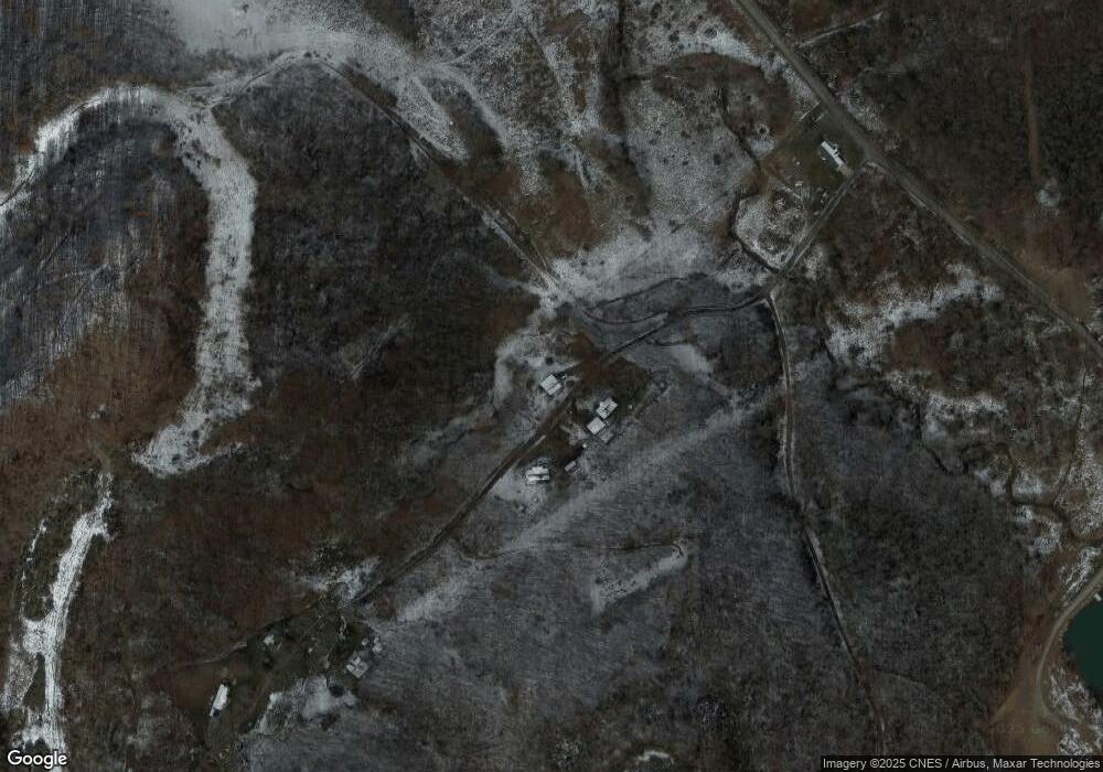
Map
Nearby Homes
- TBD Coplin Run Rd
- 131 Frisco Ln
- 516 Brushy Fork Rd
- 216 Zachs Run Rd
- 7644 Buckhannon Pike
- 7 Mayflower Ln
- 332 Timberbrook Ln
- 4950 Buckhannon Pike
- TBD Benedum Run Rd
- 44 Skyview Dr
- 11 Skyview Dr
- 47 Skyview Dr
- 5 Skyview Dr
- 45 Skyview Dr
- 6 Skyview Dr
- 46 Skyview Dr
- 49 Skyview Dr
- 10 Skyview Dr
- 9 Overlook Dr
- 3 Overlook Dr
- 2028 Birds Run Rd
- 517 Black Oak Hollow Rd
- 3919 Brushy Fork Rd
- 32.39 Brushy Fork Rd
- 84A Rt 23
- 157 Sigley Rd
- 3363 Route 23 Rd
- 0 Brushy Fork Rd Unit 11183255
- 535 Green Valley Rd
- 107 Mossy Oak Dr
- 348 Gould Farm Rd
- 4361 Brushy Fork Rd
- 4621 Brushy Fork Rd
- 2869 Brushy Fork Rd
- 655 Green Valley Rd
- 755 Gould Farm Rd
- 2827 Brushy Fork Rd
- 406 Coplin Run Rd
- 00 Coplin Run Rd
- 2744 Brushy Fork Rd