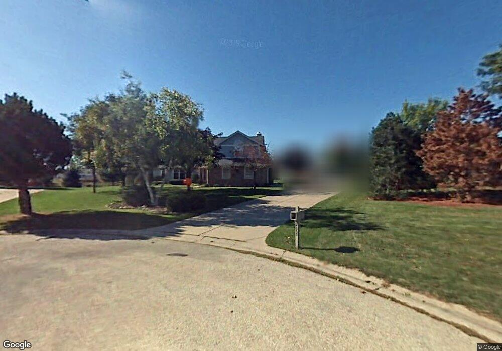
2065 Colby Ct Brookfield, WI 53045
Estimated Value: $616,000 - $720,000
3
Beds
3
Baths
2,479
Sq Ft
$268/Sq Ft
Est. Value
About This Home
This home is located at 2065 Colby Ct, Brookfield, WI 53045 and is currently estimated at $663,546, approximately $267 per square foot. 2065 Colby Ct is a home located in Waukesha County with nearby schools including Brookfield Elementary School, Wisconsin Hills Middle School, and Brookfield Central High School.
Ownership History
Date
Name
Owned For
Owner Type
Purchase Details
Closed on
Jan 2, 2004
Sold by
Kalmer Stephen E and Kalmer Laurie M
Bought by
Kirchen Thomas L and Kirchen Kristine K
Current Estimated Value
Home Financials for this Owner
Home Financials are based on the most recent Mortgage that was taken out on this home.
Original Mortgage
$263,000
Outstanding Balance
$124,529
Interest Rate
6.08%
Mortgage Type
Purchase Money Mortgage
Estimated Equity
$539,017
Purchase Details
Closed on
Mar 30, 2001
Sold by
Jenkins Alice
Bought by
Kalmer Stephen E and Kalmer Laurie M
Home Financials for this Owner
Home Financials are based on the most recent Mortgage that was taken out on this home.
Original Mortgage
$268,000
Interest Rate
7.5%
Mortgage Type
Purchase Money Mortgage
Create a Home Valuation Report for This Property
The Home Valuation Report is an in-depth analysis detailing your home's value as well as a comparison with similar homes in the area
Home Values in the Area
Average Home Value in this Area
Purchase History
| Date | Buyer | Sale Price | Title Company |
|---|---|---|---|
| Kirchen Thomas L | $363,000 | Priority Title Corporation | |
| Kalmer Stephen E | $335,000 | -- |
Source: Public Records
Mortgage History
| Date | Status | Borrower | Loan Amount |
|---|---|---|---|
| Open | Kirchen Thomas L | $263,000 | |
| Previous Owner | Kalmer Stephen E | $268,000 |
Source: Public Records
Tax History
| Year | Tax Paid | Tax Assessment Tax Assessment Total Assessment is a certain percentage of the fair market value that is determined by local assessors to be the total taxable value of land and additions on the property. | Land | Improvement |
|---|---|---|---|---|
| 2024 | $6,057 | $540,200 | $144,500 | $395,700 |
| 2023 | $6,062 | $540,200 | $144,500 | $395,700 |
| 2022 | $6,189 | $431,400 | $139,100 | $292,300 |
| 2021 | $6,557 | $431,400 | $139,100 | $292,300 |
| 2020 | $6,832 | $431,400 | $139,100 | $292,300 |
| 2019 | $6,565 | $431,400 | $139,100 | $292,300 |
| 2018 | $6,311 | $403,600 | $140,000 | $263,600 |
| 2017 | $6,307 | $403,600 | $140,000 | $263,600 |
| 2016 | $6,398 | $403,600 | $140,000 | $263,600 |
| 2015 | $6,361 | $403,600 | $140,000 | $263,600 |
| 2014 | $6,598 | $403,600 | $140,000 | $263,600 |
| 2013 | $6,598 | $403,600 | $140,000 | $263,600 |
Source: Public Records
Map
Nearby Homes
- 1930 Cotton Tail Ln
- 1825 Derrin Ln
- 20305 Downing Ct
- 19775 Trilby Ct
- 2465 Lionel Ct
- 2000 Kathlynn Ct
- 2550 Harmony Cir
- 2820 Norman Dr
- Lt118 Berwick Ct
- Lt120 Berwick Ct
- Lt116 Berwick Ct
- Lt114 Berwick Ct
- 19260 Brookdale Dr
- 18865 Tanala Dr
- W224N2507 Ridgewood Ln
- W221N3075 Greenwood Ct
- 850 Janacek Rd
- 18860 N Hills Dr
- 18850 N Hills Dr
- Lt0 Russet Dr
- 2050 Colby Ct
- 20810 Carrington Ct
- 20765 Vincent Dr
- 20795 Carrington Ct
- 20830 Carrington Ct
- 2080 Colby Ct
- 20825 Vincent Dr
- 20835 Carrington Ct
- 20675 Vincent Dr
- 4803 Vincent Dr
- 4819 Vincent Dr
- 20750 Vincent Dr
- 20850 Carrington Ct
- 20865 Vincent Dr
- 20780 Vincent Dr
- 20700 Vincent Dr
- 20880 Carrington Ct
- 20865 Carrington Ct
- 20895 Vincent Dr
- 20830 Vincent Dr
Your Personal Tour Guide
Ask me questions while you tour the home.