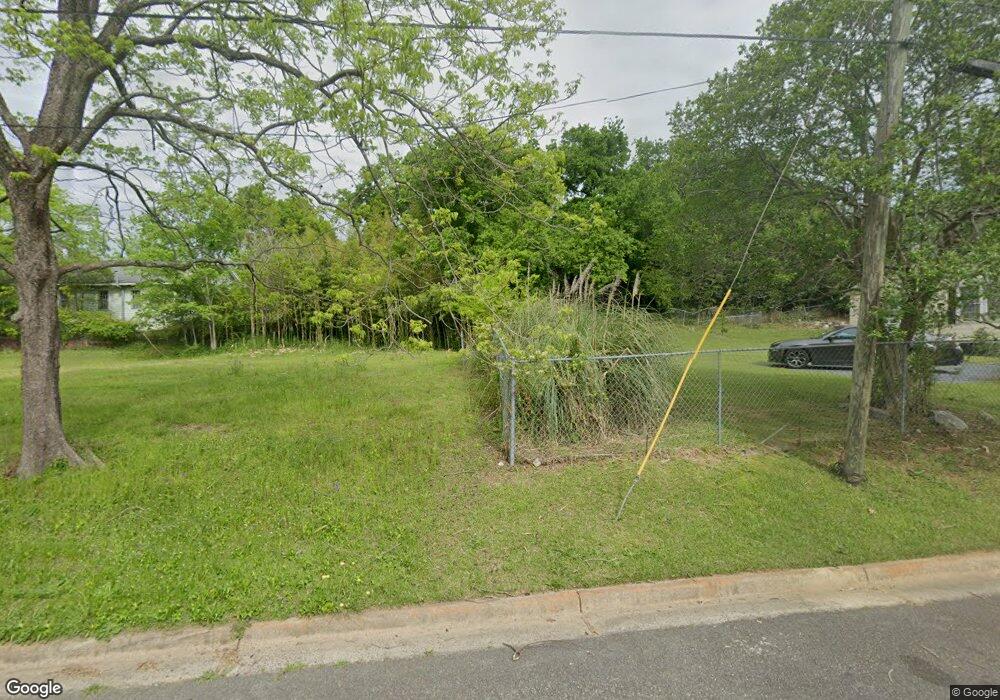
2065 Freeman St Macon, GA 31201
Tindall Heights Historic District NeighborhoodEstimated Value: $165,633
3
Beds
2
Baths
1,120
Sq Ft
$148/Sq Ft
Est. Value
About This Home
This home is located at 2065 Freeman St, Macon, GA 31201 and is currently priced at $165,633, approximately $147 per square foot. 2065 Freeman St is a home located in Bibb County with nearby schools including Ingram-Pye Elementary School, Central High School, and Cirrus Charter Academy.
Ownership History
Date
Name
Owned For
Owner Type
Purchase Details
Closed on
Feb 13, 2025
Sold by
Macon-Bibb County Land Bank Authority
Bought by
Next Generation Rentals Llc
Current Estimated Value
Purchase Details
Closed on
Jun 10, 2008
Sold by
Macon Bibb Co Land Bank Auth I
Bought by
Macon Housing Authority
Purchase Details
Closed on
Jun 9, 2008
Sold by
Bibb Co
Bought by
Macon Bibb Co Land Bank Auth Inc
Create a Home Valuation Report for This Property
The Home Valuation Report is an in-depth analysis detailing your home's value as well as a comparison with similar homes in the area
Home Values in the Area
Average Home Value in this Area
Purchase History
| Date | Buyer | Sale Price | Title Company |
|---|---|---|---|
| Next Generation Rentals Llc | $2,500 | None Listed On Document | |
| Next Generation Rentals Llc | $2,500 | None Listed On Document | |
| Macon Housing Authority | -- | -- | |
| Macon Bibb Co Land Bank Auth Inc | -- | -- |
Source: Public Records
Tax History Compared to Growth
Tax History
| Year | Tax Paid | Tax Assessment Tax Assessment Total Assessment is a certain percentage of the fair market value that is determined by local assessors to be the total taxable value of land and additions on the property. | Land | Improvement |
|---|---|---|---|---|
| 2025 | -- | $1,285 | $1,285 | $0 |
| 2024 | -- | $1,285 | $1,285 | $0 |
| 2023 | $0 | $1,285 | $1,285 | $0 |
| 2022 | $0 | $2,568 | $2,568 | $0 |
| 2021 | $103 | $2,568 | $2,568 | $0 |
| 2020 | $103 | $2,568 | $2,568 | $0 |
| 2019 | $103 | $2,568 | $2,568 | $0 |
| 2018 | $84 | $2,568 | $2,568 | $0 |
| 2017 | $84 | $2,568 | $2,568 | $0 |
| 2016 | $0 | $2,568 | $2,568 | $0 |
| 2015 | -- | $2,568 | $2,568 | $0 |
| 2014 | -- | $2,568 | $2,568 | $0 |
Source: Public Records
Map
Nearby Homes
- 2049 Freeman St
- 747 Harold St
- 747 Harrold St
- 759 Harold St Unit Main House
- 759 Harold St
- 759 Harold St
- 759 Harold St Unit B
- 2042 Freeman St
- 2044 Freeman St
- 734 Williams St
- 758 S Williams St
- 2040 Freeman St
- 771 Harold St
- 2094 Freeman St
- 722 Williams St
- 764 Williams St
- 778 Williams St
- 720 Harrold St
- 0 Williams St
- 740 Harold St
