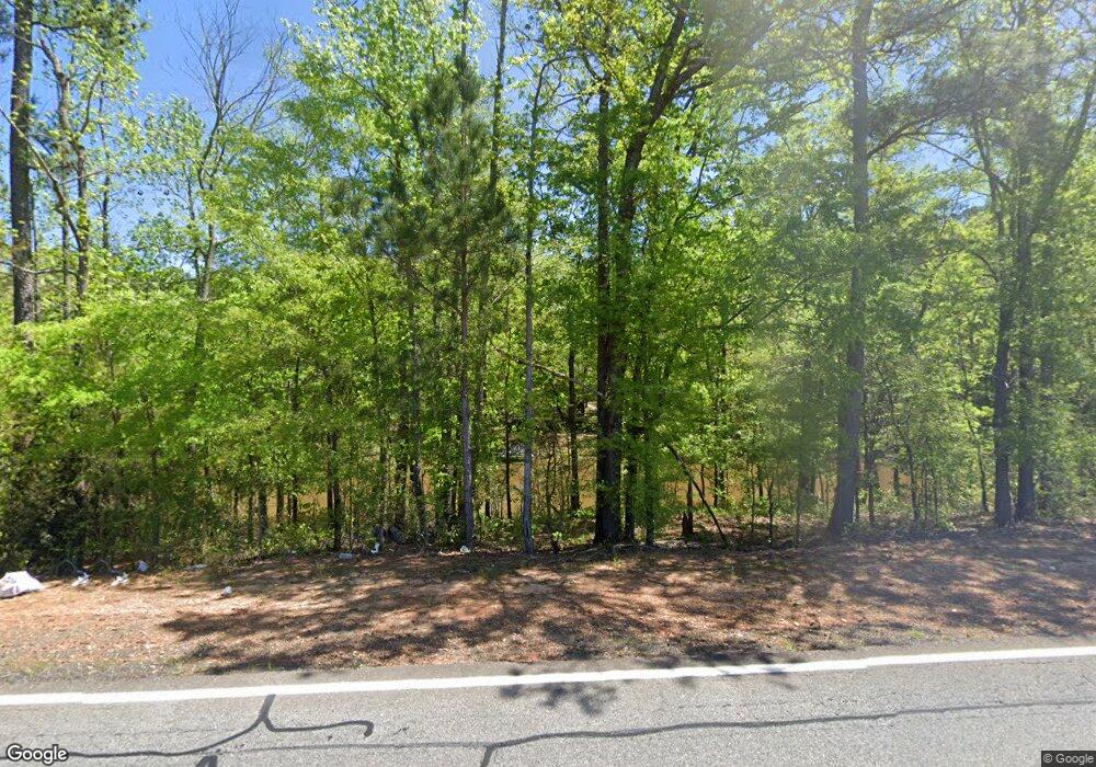
2065 Ga Highway 42 N Forsyth, GA 31029
Estimated Value: $221,000 - $328,000
--
Bed
--
Bath
1,232
Sq Ft
$226/Sq Ft
Est. Value
About This Home
This home is located at 2065 Ga Highway 42 N, Forsyth, GA 31029 and is currently estimated at $278,898, approximately $226 per square foot. 2065 Ga Highway 42 N is a home with nearby schools including Katherine B. Sutton Elementary School and Mary Persons High School.
Ownership History
Date
Name
Owned For
Owner Type
Purchase Details
Closed on
May 22, 2003
Sold by
Sosebee Hugh D
Bought by
Corley Rebecca Sosebee
Current Estimated Value
Purchase Details
Closed on
Jun 10, 1982
Sold by
Sosebee Hugh
Bought by
Sosebee Hugh
Purchase Details
Closed on
Dec 31, 1980
Sold by
Sosebee Hugh
Bought by
Sosebee Martha Rebecca
Purchase Details
Closed on
Dec 31, 1979
Sold by
Sosebee Hugh
Bought by
Sosebee Hugh D and Martha Rebecca
Purchase Details
Closed on
Dec 27, 1978
Sold by
Sosebee Hugh
Bought by
Sosebee Hugh D and Martha Rebecca
Purchase Details
Closed on
May 18, 1971
Sold by
Sosebee Mary
Bought by
Sosebee Hugh
Create a Home Valuation Report for This Property
The Home Valuation Report is an in-depth analysis detailing your home's value as well as a comparison with similar homes in the area
Home Values in the Area
Average Home Value in this Area
Purchase History
| Date | Buyer | Sale Price | Title Company |
|---|---|---|---|
| Corley Rebecca Sosebee | -- | -- | |
| Sosebee Hugh | -- | -- | |
| Sosebee Martha Rebecca | -- | -- | |
| Sosebee Hugh D | -- | -- | |
| Sosebee Hugh D | -- | -- | |
| Sosebee Hugh | -- | -- |
Source: Public Records
Tax History Compared to Growth
Tax History
| Year | Tax Paid | Tax Assessment Tax Assessment Total Assessment is a certain percentage of the fair market value that is determined by local assessors to be the total taxable value of land and additions on the property. | Land | Improvement |
|---|---|---|---|---|
| 2024 | $1,288 | $90,400 | $56,960 | $33,440 |
| 2023 | $1,150 | $85,760 | $56,960 | $28,800 |
| 2022 | $1,099 | $85,760 | $56,960 | $28,800 |
| 2021 | $966 | $82,880 | $54,080 | $28,800 |
| 2020 | $986 | $82,880 | $54,080 | $28,800 |
| 2019 | $989 | $82,880 | $54,080 | $28,800 |
| 2018 | $988 | $82,880 | $54,080 | $28,800 |
| 2017 | $2,409 | $82,880 | $54,080 | $28,800 |
| 2016 | $932 | $82,880 | $54,080 | $28,800 |
| 2015 | $880 | $82,880 | $54,080 | $28,800 |
| 2014 | $845 | $82,880 | $54,080 | $28,800 |
Source: Public Records
Map
Nearby Homes
- 4320 Cornwall Dr
- 5343 Felles Way
- 5357 Felles Way Unit 378
- 83 Sydney Woods Dr
- 2023 Camberle Ct
- 2023 Camberle Ct Unit 144
- 1082 Victorian Blvd
- 110 Tomkins Creek Trail
- 67 Strickland Loop
- 4631 Capulet Ct Unit 331
- 4631 Capulet Ct
- 410 Strickland Loop
- 90 +/- ACRES English Rd
- 68 Creekview Dr
- 29 Deer Run
- 62 S Cedar Creek Dr
- 80 S Cedar Creek Dr
- 4686 Johnstonville Rd
- 1578 English Rd
- 3355 Sr 42 N
- 2156 Ga Highway 42 N
- 5339 Felles Way Unit 358
- 5339 Felles Way
- 4326 Cornwall Dr Unit 369
- 4326 Cornwall Dr
- 4329 Cornwall Dr Unit 305
- 5028 Tybalt Run Unit 381
- 4325 Cornwall Dr
- 5028 Tybalt Run Unit 381
- 5028 Tybalt Run
- 4338 Cornwall Dr Unit LOT 367
- 4338 Cornwall Dr
- 4322 Cornwall Dr
- 5375 Felles Way
- 4322 Cornwall Dr Unit 370
- 5375 Felles Way Unit 362
- 5369 Felles Way Unit 376
- 5369 Felles Way
- 4320 Cornwall Dr Unit 371
- 5014 Tybalt Run
