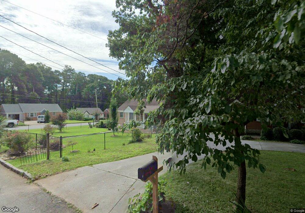
2065 Marco Dr Decatur, GA 30032
East Lake NeighborhoodEstimated Value: $226,952 - $281,000
2
Beds
1
Bath
850
Sq Ft
$296/Sq Ft
Est. Value
About This Home
This home is located at 2065 Marco Dr, Decatur, GA 30032 and is currently estimated at $251,738, approximately $296 per square foot. 2065 Marco Dr is a home located in DeKalb County with nearby schools including McNair Middle School, McNair High School, and Charles Drew Charter School.
Ownership History
Date
Name
Owned For
Owner Type
Purchase Details
Closed on
Nov 26, 1997
Sold by
Allison Equities Inc
Bought by
Person Judith A
Current Estimated Value
Home Financials for this Owner
Home Financials are based on the most recent Mortgage that was taken out on this home.
Original Mortgage
$43,152
Outstanding Balance
$7,032
Interest Rate
7.2%
Mortgage Type
New Conventional
Estimated Equity
$244,706
Create a Home Valuation Report for This Property
The Home Valuation Report is an in-depth analysis detailing your home's value as well as a comparison with similar homes in the area
Home Values in the Area
Average Home Value in this Area
Purchase History
| Date | Buyer | Sale Price | Title Company |
|---|---|---|---|
| Person Judith A | $57,500 | -- |
Source: Public Records
Mortgage History
| Date | Status | Borrower | Loan Amount |
|---|---|---|---|
| Open | Person Judith A | $43,152 |
Source: Public Records
Tax History Compared to Growth
Tax History
| Year | Tax Paid | Tax Assessment Tax Assessment Total Assessment is a certain percentage of the fair market value that is determined by local assessors to be the total taxable value of land and additions on the property. | Land | Improvement |
|---|---|---|---|---|
| 2025 | $476 | $91,360 | $40,520 | $50,840 |
| 2024 | $464 | $95,280 | $40,520 | $54,760 |
| 2023 | $464 | $89,640 | $40,520 | $49,120 |
| 2022 | $354 | $77,000 | $32,960 | $44,040 |
| 2021 | $354 | $63,760 | $32,000 | $31,760 |
| 2020 | $354 | $63,080 | $32,000 | $31,080 |
| 2019 | $354 | $63,720 | $6,320 | $57,400 |
| 2018 | $690 | $49,560 | $6,320 | $43,240 |
| 2017 | $354 | $42,600 | $6,320 | $36,280 |
| 2016 | $1,239 | $37,200 | $6,320 | $30,880 |
| 2014 | $448 | $14,000 | $3,200 | $10,800 |
Source: Public Records
Map
Nearby Homes
- 2061 Marco Dr
- 2055 Marco Dr
- 2055 Marco Dr Unit 18
- 2051 Marco Dr
- 1992 Delphine Dr
- 1986 Delphine Dr
- 1996 Delphine Dr
- 1980 Delphine Dr
- 2054 Mcafee Rd
- 2002 Delphine Dr
- 2064 Marco Dr
- 2060 Marco Dr
- 2045 Marco Dr
- 1976 Delphine Dr
- 2054 Marco Dr
- 2006 Delphine Dr
- 1970 Delphine Dr
- 2050 Marco Dr
- 2039 Marco Dr
- 2042 Mcafee Rd