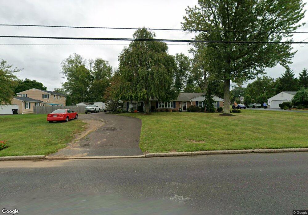
2065 N Line St Lansdale, PA 19446
Estimated Value: $513,000 - $591,000
3
Beds
2
Baths
1,934
Sq Ft
$290/Sq Ft
Est. Value
About This Home
This home is located at 2065 N Line St, Lansdale, PA 19446 and is currently estimated at $560,847, approximately $289 per square foot. 2065 N Line St is a home located in Montgomery County with nearby schools including Bridle Path Elementary School, Penndale Middle School, and North Penn Senior High School.
Ownership History
Date
Name
Owned For
Owner Type
Purchase Details
Closed on
Jun 25, 2010
Sold by
Smith Margarete A and Smith Willard E
Bought by
Kelly Mary M and Kelly James R
Current Estimated Value
Home Financials for this Owner
Home Financials are based on the most recent Mortgage that was taken out on this home.
Original Mortgage
$30,000
Outstanding Balance
$19,995
Interest Rate
4.78%
Estimated Equity
$540,852
Create a Home Valuation Report for This Property
The Home Valuation Report is an in-depth analysis detailing your home's value as well as a comparison with similar homes in the area
Home Values in the Area
Average Home Value in this Area
Purchase History
| Date | Buyer | Sale Price | Title Company |
|---|---|---|---|
| Kelly Mary M | $300,000 | None Available |
Source: Public Records
Mortgage History
| Date | Status | Borrower | Loan Amount |
|---|---|---|---|
| Open | Kelly Mary M | $30,000 | |
| Open | Kelly Mary M | $240,000 |
Source: Public Records
Tax History Compared to Growth
Tax History
| Year | Tax Paid | Tax Assessment Tax Assessment Total Assessment is a certain percentage of the fair market value that is determined by local assessors to be the total taxable value of land and additions on the property. | Land | Improvement |
|---|---|---|---|---|
| 2025 | $7,354 | $197,130 | $58,760 | $138,370 |
| 2024 | $7,354 | $197,130 | $58,760 | $138,370 |
| 2023 | $7,016 | $197,130 | $58,760 | $138,370 |
| 2022 | $6,769 | $197,130 | $58,760 | $138,370 |
| 2021 | $6,365 | $197,130 | $58,760 | $138,370 |
| 2020 | $6,197 | $197,130 | $58,760 | $138,370 |
| 2019 | $6,081 | $197,130 | $58,760 | $138,370 |
| 2018 | $1,008 | $197,130 | $58,760 | $138,370 |
| 2017 | $5,821 | $197,130 | $58,760 | $138,370 |
| 2016 | $5,744 | $197,130 | $58,760 | $138,370 |
| 2015 | $5,485 | $197,130 | $58,760 | $138,370 |
| 2014 | $5,485 | $197,130 | $58,760 | $138,370 |
Source: Public Records
Map
Nearby Homes
- 2111 Hidden Meadow Dr
- 1823 N Line St
- 000 Lenape Dr
- 6 Lantern Ln
- 0002 Sydney Ln
- 100 Victoria Dr
- 83 Bethlehem Pike Unit 1213 FIRESTONE
- 83 Bethlehem Pike Unit 1106- MADISON PLAN
- 304 Victoria Dr
- 373 Sydney Ln
- 375 Sydney Ln
- 401 Sadie Ave
- 381 Sydney Ave
- Warwick Plan at Sterling Walk
- Stratford Plan at Sterling Walk
- 5 Fortuna Dr
- 6 Fortuna Dr
- 9 Fortuna Dr
- 8 Fortuna Dr
- 103 Dylan Dr Unit 45