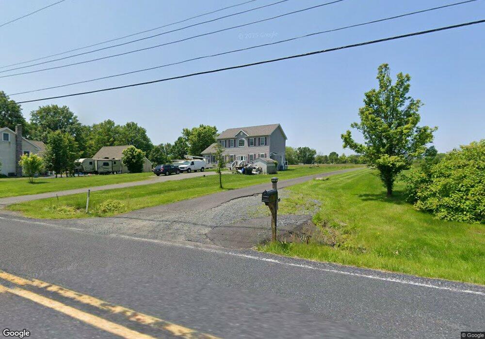
2065 Old Skippack Rd Harleysville, PA 19438
Upper Salford Township NeighborhoodEstimated Value: $315,000 - $603,000
3
Beds
3
Baths
2,404
Sq Ft
$216/Sq Ft
Est. Value
About This Home
This home is located at 2065 Old Skippack Rd, Harleysville, PA 19438 and is currently estimated at $520,260, approximately $216 per square foot. 2065 Old Skippack Rd is a home with nearby schools including Salford Hills Elementary School, Indian Valley Middle School, and Souderton Area Senior High School.
Ownership History
Date
Name
Owned For
Owner Type
Purchase Details
Closed on
Feb 17, 2021
Sold by
Helga Dowlatow Estate
Bought by
Cowles Andrew and Cowles Lori Anne
Current Estimated Value
Home Financials for this Owner
Home Financials are based on the most recent Mortgage that was taken out on this home.
Original Mortgage
$330,000
Interest Rate
2.9%
Mortgage Type
New Conventional
Purchase Details
Closed on
Apr 26, 1999
Sold by
Dowlatow Helga and Dowlatow Gregory
Bought by
Dowlatow Helga
Create a Home Valuation Report for This Property
The Home Valuation Report is an in-depth analysis detailing your home's value as well as a comparison with similar homes in the area
Home Values in the Area
Average Home Value in this Area
Purchase History
| Date | Buyer | Sale Price | Title Company |
|---|---|---|---|
| Cowles Andrew | $180,550 | None Available | |
| Dowlatow Helga | -- | -- |
Source: Public Records
Mortgage History
| Date | Status | Borrower | Loan Amount |
|---|---|---|---|
| Previous Owner | Cowles Andrew | $330,000 |
Source: Public Records
Tax History Compared to Growth
Tax History
| Year | Tax Paid | Tax Assessment Tax Assessment Total Assessment is a certain percentage of the fair market value that is determined by local assessors to be the total taxable value of land and additions on the property. | Land | Improvement |
|---|---|---|---|---|
| 2025 | $6,681 | $169,530 | -- | -- |
| 2024 | $6,681 | $169,530 | -- | -- |
| 2023 | $6,368 | $169,530 | $0 | $0 |
| 2022 | $6,170 | $169,530 | $0 | $0 |
| 2021 | $6,076 | $169,530 | $0 | $0 |
| 2020 | $6,001 | $169,530 | $0 | $0 |
| 2019 | $5,928 | $169,530 | $0 | $0 |
| 2018 | $5,927 | $169,530 | $0 | $0 |
| 2017 | $5,786 | $169,530 | $0 | $0 |
| 2016 | $5,719 | $169,530 | $0 | $0 |
| 2015 | $5,626 | $169,530 | $0 | $0 |
| 2014 | $5,626 | $169,530 | $0 | $0 |
Source: Public Records
Map
Nearby Homes
- 2359 Hendricks Station Rd
- 1465 Old Skippack Rd
- 1323 Old Sumneytown Pike
- 2310 Rostkowski Rd
- 3196 Main St
- 1171 Old Sumneytown Pike
- 3111 Main St
- 2010 Perkiomenville Rd
- 3095 Sumneytown Pike
- 2848 Swamp Creek Rd
- 133 Bavington Rd
- 1823 Gravel Pike
- 1715 Gravel Pike
- 1010 Branch Mill Rd
- 27 Cepp Rd
- 1646 Haywood Rd
- 100 Walnut St
- 3437 Westview Dr
- 1160 Pin Oak Dr
- 1466 Schwenksville Rd
- 2059 Old Skippack Rd
- 2071 Old Skippack Rd
- 2054 Old Skippack Rd
- 2060 Old Skippack Rd
- 2078 Perkiomenville Rd
- 2052 Old Skippack Rd
- 2041 Old Skippack Rd
- 2070 Old Skippack Rd
- 2090 Perkiomenville Rd
- 2092 Old Skippack Rd
- 2000 Perkiomenville Rd
- 2029 Old Skippack Rd
- 2110 Perkiomenville Rd
- 2560 Bittersweet Dr
- 2599 Bittersweet Dr
- 2101 Old Skippack Rd
- 2032 Old Skippack Rd
- 2124 Perkiomenville Rd
- 1980 Perkiomenville Rd
- 2601 Bittersweet Dr