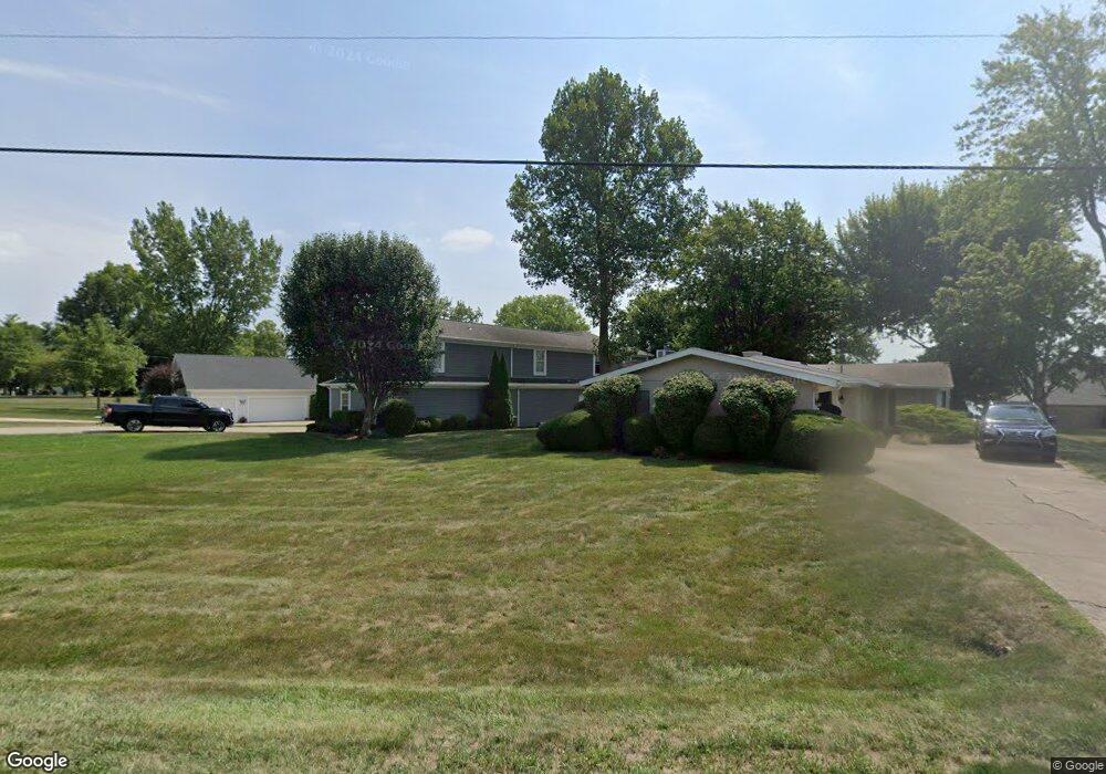
2065 Palouse Dr London, OH 43140
Estimated Value: $911,000 - $1,172,084
5
Beds
3
Baths
3,050
Sq Ft
$340/Sq Ft
Est. Value
About This Home
This home is located at 2065 Palouse Dr, London, OH 43140 and is currently estimated at $1,038,521, approximately $340 per square foot. 2065 Palouse Dr is a home located in Madison County with nearby schools including London Elementary School, London Middle School, and London High School.
Ownership History
Date
Name
Owned For
Owner Type
Purchase Details
Closed on
Jun 1, 2005
Sold by
Hardesty John W and Hardesty Laura A
Bought by
Powell Robin D and Powell Jennifer B
Current Estimated Value
Home Financials for this Owner
Home Financials are based on the most recent Mortgage that was taken out on this home.
Original Mortgage
$359,650
Outstanding Balance
$189,568
Interest Rate
5.91%
Mortgage Type
Fannie Mae Freddie Mac
Estimated Equity
$848,953
Purchase Details
Closed on
Jun 7, 1999
Sold by
Green Ralph E
Bought by
Hardesty John W and Hardesty Laura A
Home Financials for this Owner
Home Financials are based on the most recent Mortgage that was taken out on this home.
Original Mortgage
$70,000
Interest Rate
6.94%
Mortgage Type
New Conventional
Create a Home Valuation Report for This Property
The Home Valuation Report is an in-depth analysis detailing your home's value as well as a comparison with similar homes in the area
Home Values in the Area
Average Home Value in this Area
Purchase History
| Date | Buyer | Sale Price | Title Company |
|---|---|---|---|
| Powell Robin D | $455,000 | Midland Title | |
| Hardesty John W | $100,000 | -- |
Source: Public Records
Mortgage History
| Date | Status | Borrower | Loan Amount |
|---|---|---|---|
| Open | Powell Robin D | $359,650 | |
| Closed | Hardesty John W | $70,000 | |
| Closed | Powell Robin D | $72,600 |
Source: Public Records
Tax History Compared to Growth
Tax History
| Year | Tax Paid | Tax Assessment Tax Assessment Total Assessment is a certain percentage of the fair market value that is determined by local assessors to be the total taxable value of land and additions on the property. | Land | Improvement |
|---|---|---|---|---|
| 2024 | $10,664 | $280,280 | $64,340 | $215,940 |
| 2023 | $10,664 | $276,060 | $64,340 | $211,720 |
| 2022 | $9,173 | $209,130 | $48,740 | $160,390 |
| 2021 | $8,779 | $209,130 | $48,740 | $160,390 |
| 2020 | $8,781 | $209,130 | $48,740 | $160,390 |
| 2019 | $8,531 | $188,390 | $50,270 | $138,120 |
| 2018 | $7,644 | $188,390 | $50,270 | $138,120 |
| 2017 | $7,490 | $188,390 | $50,270 | $138,120 |
| 2016 | $6,509 | $163,180 | $50,270 | $112,910 |
| 2015 | $5,734 | $163,180 | $50,270 | $112,910 |
| 2014 | $6,609 | $163,180 | $50,270 | $112,910 |
| 2013 | -- | $172,020 | $52,500 | $119,520 |
Source: Public Records
Map
Nearby Homes
- 2086 Palouse Dr
- 1855 E Choctaw Dr
- 1865 Huron Dr
- 2460 Cherokee Dr
- 2020 Cherokee Dr
- 1490 Itawamba Trail
- 1730 W Choctaw Dr
- 1435 E Choctaw Dr
- 1427 Itawamba Trail
- 1495 W Choctaw Dr
- 1405 Chickasaw Dr
- 1340 W Choctaw Dr
- 3211 Old Columbus Rd
- 2425 Old Us Highway 40 NW
- 2725 Old Us Highway 40 NW
- 4070 Tradersville-Brighton Rd
- 108 Markley Rd
- 2367 N Houston Pike
- 2321 N Houston
- 725 Cheney Pass
- 2075 Palouse Dr
- 2055 Palouse Dr
- 2085 Palouse Dr
- 2045 Palouse Dr
- 733 Palouse Dr
- 2095 Palouse Dr
- 2035 Palouse Dr
- 2025 Palouse Dr
- 2101 Palouse Dr
- 2015 Palouse Dr
- 2020 Palouse Dr
- 2050 Palouse Dr
- 2076 Palouse Dr
- 2014 Palouse Dr
- 2072 Palouse Dr
- 2066 Palouse Dr
- 2011 Palouse Dr
- 2040 Palouse Dr
- 2010 Palouse Dr
- 2080 Palouse Dr