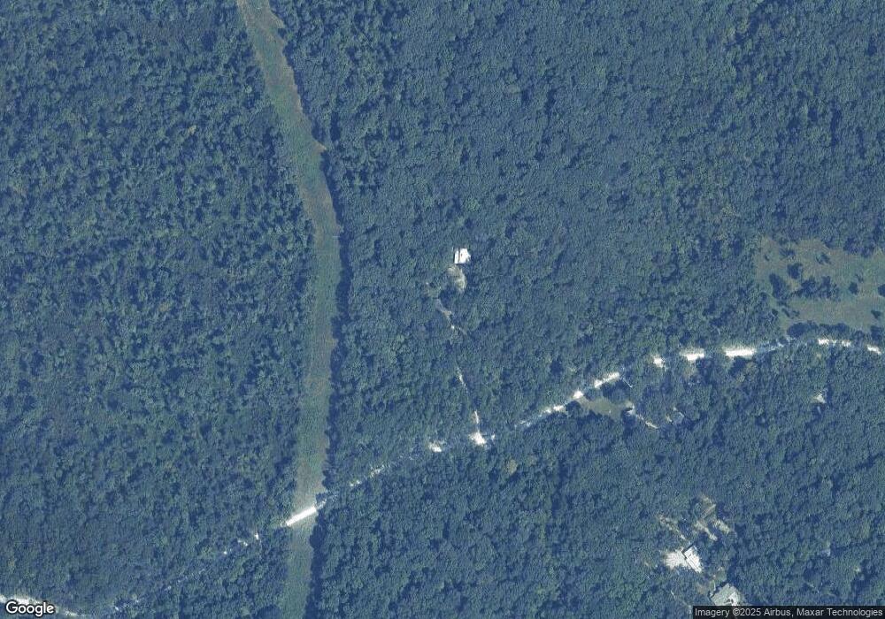
2065 Rock Springs Rd Wright City, MO 63390
Estimated Value: $489,880 - $556,000
3
Beds
2
Baths
2,388
Sq Ft
$220/Sq Ft
Est. Value
About This Home
This home is located at 2065 Rock Springs Rd, Wright City, MO 63390 and is currently estimated at $524,293, approximately $219 per square foot. 2065 Rock Springs Rd is a home located in Lincoln County with nearby schools including Wright City West Elementary School, Wright City East Elementary School, and Wright City Middle School.
Ownership History
Date
Name
Owned For
Owner Type
Purchase Details
Closed on
Feb 23, 2011
Sold by
Hums Scott and Hums Teresa
Bought by
Hums Francis S and Hums Retesa
Current Estimated Value
Home Financials for this Owner
Home Financials are based on the most recent Mortgage that was taken out on this home.
Original Mortgage
$144,000
Interest Rate
4.7%
Mortgage Type
New Conventional
Create a Home Valuation Report for This Property
The Home Valuation Report is an in-depth analysis detailing your home's value as well as a comparison with similar homes in the area
Home Values in the Area
Average Home Value in this Area
Purchase History
| Date | Buyer | Sale Price | Title Company |
|---|---|---|---|
| Hums Francis S | -- | None Available |
Source: Public Records
Mortgage History
| Date | Status | Borrower | Loan Amount |
|---|---|---|---|
| Closed | Hums Francis S | $144,000 |
Source: Public Records
Tax History Compared to Growth
Tax History
| Year | Tax Paid | Tax Assessment Tax Assessment Total Assessment is a certain percentage of the fair market value that is determined by local assessors to be the total taxable value of land and additions on the property. | Land | Improvement |
|---|---|---|---|---|
| 2025 | $2,708 | $48,965 | $9,291 | $39,674 |
| 2024 | $2,708 | $45,007 | $8,550 | $36,457 |
| 2023 | $2,701 | $45,007 | $8,550 | $36,457 |
| 2022 | $2,599 | $43,516 | $8,550 | $34,966 |
| 2021 | $2,613 | $229,030 | $0 | $0 |
| 2020 | $2,385 | $208,720 | $0 | $0 |
| 2019 | $2,379 | $208,720 | $0 | $0 |
| 2018 | $2,206 | $37,438 | $0 | $0 |
| 2017 | $2,201 | $37,438 | $0 | $0 |
| 2016 | $1,734 | $29,004 | $0 | $0 |
| 2015 | $1,733 | $29,004 | $0 | $0 |
| 2014 | $1,734 | $29,621 | $0 | $0 |
| 2013 | -- | $24,774 | $0 | $0 |
Source: Public Records
Map
Nearby Homes
- 125 Jabin Farm Rd
- 431 Shady Trail Dr
- 442 Shady Trail Dr
- 430 Shady Trail Dr
- 291 Auburn Ridge Dr
- 530 Hickory Knoll Dr
- 500 Hickory Knoll Dr
- 245 Auburn Ridge Dr
- 268 Auburn Ridge Dr
- 0 Staghorn Unit MIS25064759
- 498 Staghorn Ln
- 732 Schemmer Rd
- 251 Lake Forest Dr
- 0 W Hwy U Unit MIS25030099
- 131 Summerhaven Ln
- 564 Highway Ww
- 310 Rockport Dr
- 25 Crystal Ridge Dr
- 11264 Village Dr W
- 31655 Dogwood Ln
- 2034 Rock Springs Rd
- 1775 Rock Springs Rd
- 2020 Rock Springs Rd
- 1765 Rock Springs Rd
- 1835 Rock Springs Rd
- 1744 Sweet Tree Ln
- 1565 Bote Rd
- 6494 E Rock Springs Rd
- 1760 Rock Springs Rd
- 1600 Bote Rd
- 0 Sweet Tree 12 71 Ac Unit 14010931
- 1 Eagles Wing Dr
- 148 Jabin Farm Rd
- 148 Jabin Farm Rd
- 1732 Sweet Tree Ln
- 1755 Rock Springs Rd
- 2000 Highway J
- 1750 Rock Springs Rd
- 1888 Rock Springs Rd
- 1751 Rock Springs Rd
