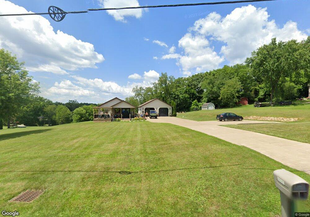
2065 State Route 83 Millersburg, OH 44654
Estimated Value: $172,277 - $319,000
--
Bed
--
Bath
988
Sq Ft
$241/Sq Ft
Est. Value
About This Home
This home is located at 2065 State Route 83, Millersburg, OH 44654 and is currently estimated at $238,319, approximately $241 per square foot. 2065 State Route 83 is a home located in Holmes County with nearby schools including West Holmes High School, Clark Valley, and Walnut Grove School C/O David L. Troyer.
Ownership History
Date
Name
Owned For
Owner Type
Purchase Details
Closed on
Nov 12, 2021
Sold by
Hahn Denny W
Bought by
Hahn Denny W and Hahn Tracy L
Current Estimated Value
Purchase Details
Closed on
Nov 8, 2021
Sold by
Estate Of Dennie F Hahn
Bought by
Han Denny W
Purchase Details
Closed on
Jun 27, 2017
Sold by
Hahn Dennie F
Bought by
F Hahn Dennie
Purchase Details
Closed on
Sep 17, 2003
Bought by
Norris Richard
Purchase Details
Closed on
Oct 30, 2002
Bought by
Norris Ralph E
Purchase Details
Closed on
Jan 1, 1990
Bought by
Norris Ralph E and Norris Marcia M
Create a Home Valuation Report for This Property
The Home Valuation Report is an in-depth analysis detailing your home's value as well as a comparison with similar homes in the area
Home Values in the Area
Average Home Value in this Area
Purchase History
| Date | Buyer | Sale Price | Title Company |
|---|---|---|---|
| Hahn Denny W | -- | None Available | |
| Han Denny W | -- | None Available | |
| F Hahn Dennie | -- | -- | |
| Norris Richard | -- | -- | |
| Norris Ralph E | -- | -- | |
| Norris Ralph E | -- | -- |
Source: Public Records
Tax History Compared to Growth
Tax History
| Year | Tax Paid | Tax Assessment Tax Assessment Total Assessment is a certain percentage of the fair market value that is determined by local assessors to be the total taxable value of land and additions on the property. | Land | Improvement |
|---|---|---|---|---|
| 2024 | $1,449 | $37,350 | $8,190 | $29,160 |
| 2023 | $1,449 | $37,350 | $8,190 | $29,160 |
| 2022 | $1,466 | $36,440 | $8,190 | $28,250 |
| 2021 | $1,331 | $30,800 | $6,300 | $24,500 |
| 2020 | $1,302 | $30,800 | $6,300 | $24,500 |
| 2019 | $1,271 | $30,800 | $6,300 | $24,500 |
| 2018 | $1,158 | $27,110 | $5,160 | $21,950 |
| 2017 | $1,157 | $27,110 | $5,160 | $21,950 |
| 2016 | $1,159 | $27,110 | $5,160 | $21,950 |
| 2015 | $1,108 | $26,320 | $4,550 | $21,770 |
| 2014 | $1,113 | $26,320 | $4,550 | $21,770 |
| 2013 | $569 | $26,320 | $4,550 | $21,770 |
Source: Public Records
Map
Nearby Homes
- 118 Bern Dr
- 3190 Buckhorn Dr
- 1910 Susten Dr
- 7675 Wild Horn Dr
- 7771 Buckhorn Cove
- 7636 Arbon Dr Unit 1222
- 2770 Stammheim Dr
- 0 Ohio 83
- 3515 County Road 58
- 3605 State Route 83
- 8800 U S Highway 62
- 7077 County Road 68
- 30945 County Road 126
- 989 N Railroad St
- 0 Berlin Township 309
- 6866 Township Road 310
- 41443 County Road 19
- 0 County Road 19
- 241 Fairway Dr
- 0 Township Road 219
- 2075 State Route 83
- 2053 State Route 83
- 2183 State Route 83
- 2190 Miller Dr Unit 163
- 2190 Miller Dr Unit 162.163,223,224
- 2190 Zermatt St Unit 162.163,223,224
- 2190 Zermatt St
- 2190 Zermatt St Unit 163
- 249 Buckhorn Dr
- 195 Buckhorn Dr
- 84 Buckhorn Dr
- 82 Buckhorn Dr
- 198 Buckhorn Dr
- 198 Buckhorn Dr Unit 303
- S/L 1475-7 Buckhorn Dr
- 1475 Buckhorn Dr
- 2212 State Route 83
- 2230 State Route 83
- 3562 Buckhorn Dr Unit 37