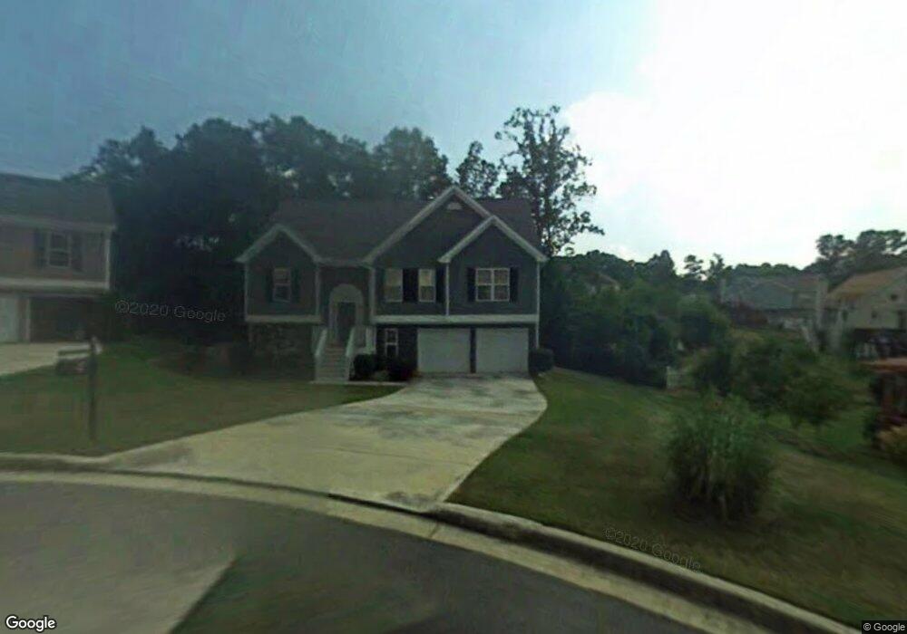
2065 Under Ct Unit 7 Sugar Hill, GA 30518
Estimated Value: $383,000 - $419,000
4
Beds
3
Baths
1,546
Sq Ft
$262/Sq Ft
Est. Value
About This Home
This home is located at 2065 Under Ct Unit 7, Sugar Hill, GA 30518 and is currently estimated at $405,559, approximately $262 per square foot. 2065 Under Ct Unit 7 is a home located in Gwinnett County with nearby schools including Sugar Hill Elementary School, Lanier Middle School, and Lanier High School.
Ownership History
Date
Name
Owned For
Owner Type
Purchase Details
Closed on
Jul 28, 1999
Sold by
Mclin Construction Inc
Bought by
Salter Robert V and Salter Rhonda P
Current Estimated Value
Home Financials for this Owner
Home Financials are based on the most recent Mortgage that was taken out on this home.
Original Mortgage
$109,500
Outstanding Balance
$30,430
Interest Rate
7.7%
Mortgage Type
New Conventional
Estimated Equity
$375,129
Create a Home Valuation Report for This Property
The Home Valuation Report is an in-depth analysis detailing your home's value as well as a comparison with similar homes in the area
Home Values in the Area
Average Home Value in this Area
Purchase History
| Date | Buyer | Sale Price | Title Company |
|---|---|---|---|
| Salter Robert V | $136,900 | -- |
Source: Public Records
Mortgage History
| Date | Status | Borrower | Loan Amount |
|---|---|---|---|
| Open | Salter Robert V | $109,500 |
Source: Public Records
Tax History
| Year | Tax Paid | Tax Assessment Tax Assessment Total Assessment is a certain percentage of the fair market value that is determined by local assessors to be the total taxable value of land and additions on the property. | Land | Improvement |
|---|---|---|---|---|
| 2025 | $595 | $169,600 | $34,000 | $135,600 |
| 2024 | $5,687 | $169,160 | $32,000 | $137,160 |
| 2023 | $5,687 | $168,520 | $28,000 | $140,520 |
| 2022 | $4,721 | $141,080 | $24,000 | $117,080 |
| 2021 | $3,729 | $110,600 | $18,400 | $92,200 |
| 2020 | $3,824 | $101,000 | $18,400 | $82,600 |
| 2019 | $3,343 | $91,760 | $16,000 | $75,760 |
| 2018 | $3,020 | $83,040 | $12,800 | $70,240 |
| 2016 | $2,710 | $74,960 | $12,800 | $62,160 |
| 2015 | $2,459 | $67,760 | $10,000 | $57,760 |
| 2014 | $2,427 | $66,600 | $10,000 | $56,600 |
Source: Public Records
Map
Nearby Homes
- 1005 Whitehead Rd
- 995 Old Spring Way
- 5239 Pine Branch Ct
- 5059 Hidden Branch Dr
- 591 Highway 20
- 1114 Chastain Dr
- 5248 Arbor View Ln
- 1123 Chastain Dr
- 1135 Chastain Dr
- 875 Long Branch Cir
- 4037 Hill Station Ct Unit 7
- 885 Long Branch Cir
- 0 (4989 ?) Hidden Branch Dr
- 5028 Hidden Branch Dr
- 5049 Hidden Branch Dr
- 4998 Hidden Branch Dr
- 870 Long Branch Cir
- 4988 Hidden Branch Dr
- 5183 Sugar Ridge Dr
- 1170 Chastain Dr
- 2075 Under Ct
- 1095 Under Ct
- 2015 Under Ct Unit 7
- 5125 Thorin Oak Cir Unit 7
- 5115 Thorin Oak Cir Unit 7
- 1085 Under Ct
- 950 Whitehead Rd
- 2078 Under Ct Unit 7
- 954 Whitehead Rd
- 5135 Thorin Oak Cir
- 5105 Thorin Oak Cir
- 2068 Under Ct
- 2058 Under Ct
- 2048 Under Ct Unit 7
- 5145 Thorin Oak Cir Unit 7
- 2008 Under Ct
- 1098 Under Ct
- 5106 Thorin Oak Cir
- 2018 Under Ct
- 2028 Under Ct Unit 7
Your Personal Tour Guide
Ask me questions while you tour the home.