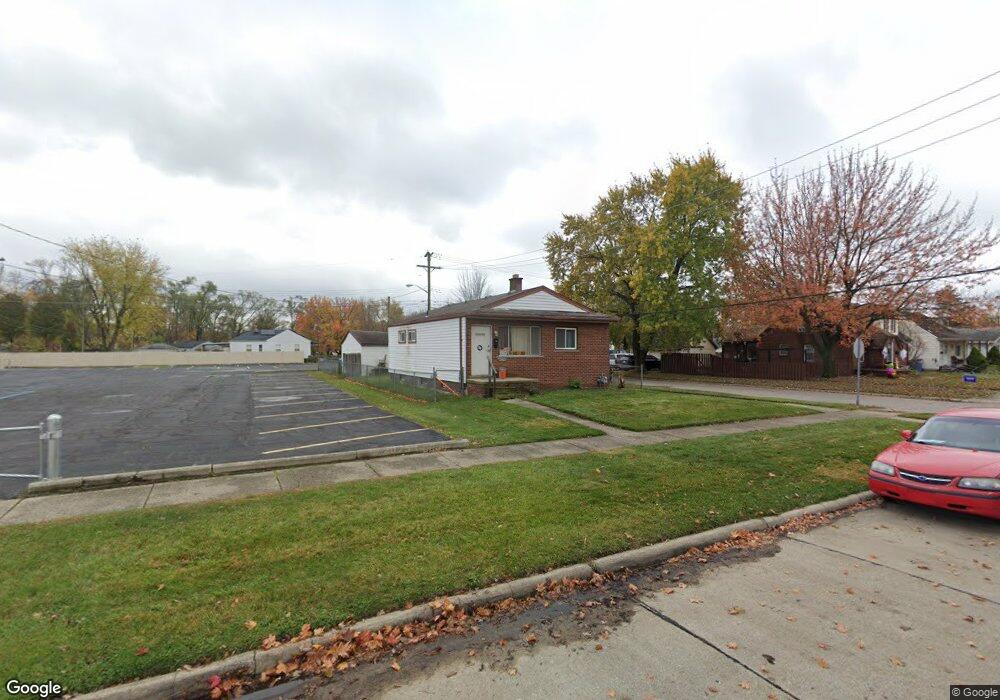
20651 Powers Ave Dearborn Heights, MI 48125
Estimated Value: $149,073 - $169,000
3
Beds
1
Bath
878
Sq Ft
$178/Sq Ft
Est. Value
About This Home
This home is located at 20651 Powers Ave, Dearborn Heights, MI 48125 and is currently estimated at $156,018, approximately $177 per square foot. 20651 Powers Ave is a home located in Wayne County with nearby schools including Polk Elementary School, Bedford School, and Pardee School.
Ownership History
Date
Name
Owned For
Owner Type
Purchase Details
Closed on
Aug 1, 2024
Sold by
Sullivan Sherry and Sullivan Shaun
Bought by
Sullivan Ryan
Current Estimated Value
Purchase Details
Closed on
Mar 20, 2023
Sold by
Thompson Michael
Bought by
Sullivan Sherry and Sullivan Shaun
Purchase Details
Closed on
Aug 23, 2018
Sold by
Sullivan Sherry
Bought by
Thompson Michael
Purchase Details
Closed on
Sep 4, 2012
Sold by
Thompson Michael James and Huet Alec
Bought by
Sullivan Sherry
Purchase Details
Closed on
Jan 20, 2010
Sold by
Church Of God State Executive Offices
Bought by
Sullivan Sherry Lynn
Create a Home Valuation Report for This Property
The Home Valuation Report is an in-depth analysis detailing your home's value as well as a comparison with similar homes in the area
Home Values in the Area
Average Home Value in this Area
Purchase History
| Date | Buyer | Sale Price | Title Company |
|---|---|---|---|
| Sullivan Ryan | -- | None Listed On Document | |
| Sullivan Sherry | -- | None Listed On Document | |
| Thompson Michael | -- | None Available | |
| Sullivan Sherry | -- | None Available | |
| Sullivan Sherry Lynn | $27,500 | Philip R Seaver Title Co Inc |
Source: Public Records
Tax History Compared to Growth
Tax History
| Year | Tax Paid | Tax Assessment Tax Assessment Total Assessment is a certain percentage of the fair market value that is determined by local assessors to be the total taxable value of land and additions on the property. | Land | Improvement |
|---|---|---|---|---|
| 2025 | $1,412 | $63,700 | $0 | $0 |
| 2024 | $1,412 | $57,400 | $0 | $0 |
| 2023 | $2,599 | $50,500 | $0 | $0 |
| 2022 | $2,291 | $43,200 | $0 | $0 |
| 2021 | $1,976 | $37,000 | $0 | $0 |
| 2019 | $1,906 | $31,000 | $0 | $0 |
| 2018 | $1,570 | $26,800 | $0 | $0 |
| 2017 | $1,321 | $26,000 | $0 | $0 |
| 2016 | $2,150 | $25,700 | $0 | $0 |
| 2015 | $2,460 | $24,600 | $0 | $0 |
| 2013 | $2,520 | $26,400 | $0 | $0 |
| 2010 | -- | $33,200 | $0 | $0 |
Source: Public Records
Map
Nearby Homes
- 5381 Merrick St
- 5621 Merrick St
- 5648 Hipp St
- 20425 Powers Ave
- 5660 Hipp St
- 5455 Mayfair St
- 4913 Campbell St
- 4644 Gertrude St
- 4679 Mayfair St
- 5642 Weddel St
- 21302 Powers Ave
- 5873 Merrick St
- 21334 Powers Ave
- 5709 Weddell St
- 4455 Hipp St
- 4641 Weddell St
- 4705 Jackson St
- Vacant Clippert St
- 4924 Ziegler St
- 4476 Weddel St
- 20709 Powers Ave
- 20735 Powers Ave
- 20601 Powers Ave
- 20650 Powers Ave
- 20743 Powers Ave Unit Bldg-Unit
- 20743 Powers Ave
- 5344 Polk St
- 20632 Powers Ave
- 5361 Polk St
- 20708 Powers Ave
- 5352 Polk St
- 20624 Powers Ave
- 20751 Powers Ave
- 20616 Powers Ave
- 5360 Polk St
- 20742 Powers Ave
- 4995 Polk St
- 5360 Hipp St
- 5368 Polk St
- 5377 Polk St