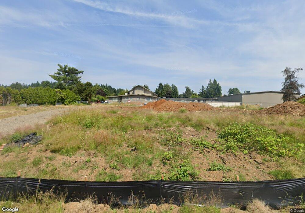
20651 SE Wiese Ct Damascus, OR 97089
Estimated Value: $580,000 - $680,000
3
Beds
2
Baths
1,450
Sq Ft
$429/Sq Ft
Est. Value
About This Home
This home is located at 20651 SE Wiese Ct, Damascus, OR 97089 and is currently estimated at $621,646, approximately $428 per square foot. 20651 SE Wiese Ct is a home located in Clackamas County with nearby schools including Deep Creek - Damascus K-8 School, Sam Barlow High School, and Deep Creek-Damascus K-8 School.
Ownership History
Date
Name
Owned For
Owner Type
Purchase Details
Closed on
Jun 27, 2024
Sold by
Damascus Community Church
Bought by
Damascus Community Church
Current Estimated Value
Purchase Details
Closed on
Jun 22, 2024
Sold by
Damascus Community Church
Bought by
Damascus Community Church
Purchase Details
Closed on
Feb 25, 2008
Sold by
Vogl John S and Vogl Vickie L
Bought by
Damascus Community Church
Home Financials for this Owner
Home Financials are based on the most recent Mortgage that was taken out on this home.
Original Mortgage
$145,000
Interest Rate
5.85%
Mortgage Type
Purchase Money Mortgage
Create a Home Valuation Report for This Property
The Home Valuation Report is an in-depth analysis detailing your home's value as well as a comparison with similar homes in the area
Home Values in the Area
Average Home Value in this Area
Purchase History
| Date | Buyer | Sale Price | Title Company |
|---|---|---|---|
| Damascus Community Church | -- | None Listed On Document | |
| Damascus Community Church | -- | None Listed On Document | |
| Damascus Community Church | -- | None Listed On Document | |
| Damascus Community Church | $365,000 | First American Title Insuran |
Source: Public Records
Mortgage History
| Date | Status | Borrower | Loan Amount |
|---|---|---|---|
| Previous Owner | Damascus Community Church | $145,000 |
Source: Public Records
Tax History Compared to Growth
Tax History
| Year | Tax Paid | Tax Assessment Tax Assessment Total Assessment is a certain percentage of the fair market value that is determined by local assessors to be the total taxable value of land and additions on the property. | Land | Improvement |
|---|---|---|---|---|
| 2025 | $3,246 | $202,153 | -- | -- |
| 2024 | $5,223 | $330,580 | -- | -- |
| 2023 | $5,223 | $264,137 | $0 | $0 |
| 2022 | $3,944 | $256,444 | $0 | $0 |
| 2021 | $3,818 | $248,975 | $0 | $0 |
| 2020 | $3,712 | $241,724 | $0 | $0 |
| 2019 | $3,622 | $234,684 | $0 | $0 |
| 2018 | $3,442 | $227,849 | $0 | $0 |
| 2017 | $3,303 | $221,213 | $0 | $0 |
| 2016 | $2,805 | $214,770 | $0 | $0 |
| 2015 | $3,194 | $208,515 | $0 | $0 |
| 2014 | $3,116 | $202,442 | $0 | $0 |
Source: Public Records
Map
Nearby Homes
- 15400 SE Barlow Ct
- 20320 SE Walgren Rd
- 12035 SE Wiese Rd
- 18680 SE Highway 212
- 16003 SE Cielo Ct
- 14543 SE West Park Ct
- 18027 SE Emi St
- 14120 SE Brent Ave
- 12591 SE Staley Ave
- 12650 SE Staley Ave
- 13633 SE 178th Ave
- 21145 SE Tillstrom Rd
- 17000 SE Forest Hill Dr
- 23322 SE Bohna Park Rd
- 14548 SE 172nd Ave
- 0 SE Armstrong Cir
- 14790 SE 172nd Ave
- 20160 SE Foster Rd
- 19955 SE Tillstrom Rd
- 17310 SE Crossroads Ave
- 20617 SE Wiese Ct
- 20685 SE Wiese Ct
- 14251 SE Rust Way
- 20620 SE Wiese Ct
- 20680 SE Wiese Ct
- 20575 SE Wiese Ct
- 20690 SE Wiese Ct
- 20570 SE Wiese Ct
- 20565 SE Wiese Ct
- 14300 SE Wiese Rd
- 14222 SE Rust Way
- 20521 SE Highway 212
- 14262 SE Rust Way
- 14170 SE Rust Way
- 20758 SE Lansing Ln
- 14311 SE Wiese Rd
- 14081 SE Rust Way
- 14300 SE Rust Way
- 14130 SE Rust Way
- 14327 SE Wiese Rd