Estimated Value: $405,804
Studio
--
Bath
1,456
Sq Ft
$279/Sq Ft
Est. Value
About This Home
This home is located at 20657 222nd St, Quinn, SD 57775 and is currently estimated at $405,804, approximately $278 per square foot. 20657 222nd St is a home with nearby schools including Philip High School.
Create a Home Valuation Report for This Property
The Home Valuation Report is an in-depth analysis detailing your home's value as well as a comparison with similar homes in the area
Tax History
| Year | Tax Paid | Tax Assessment Tax Assessment Total Assessment is a certain percentage of the fair market value that is determined by local assessors to be the total taxable value of land and additions on the property. | Land | Improvement |
|---|---|---|---|---|
| 2025 | $1,356 | $197,599 | $86,415 | $111,184 |
| 2024 | $1,356 | $204,912 | $80,585 | $124,327 |
| 2023 | -- | $194,535 | $80,072 | $114,463 |
| 2022 | -- | $159,135 | $83,187 | $75,948 |
| 2020 | $416 | $156,066 | $84,605 | $71,461 |
Source: Public Records
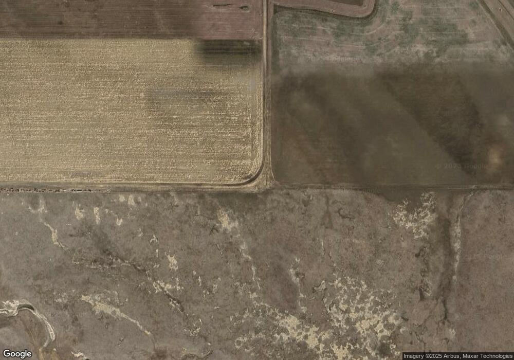
Map
Nearby Homes
- 101 Center Ave
- 160 Center Ave
- 302 E Pine St
- 517 Antelope St
- 318 4th Ave
- 212 3rd Ave
- TBD Airport Rd Unit Lot 5
- TBD Airport Rd Unit Lot 1
- TBD Airport Rd Unit Lot 4
- TBD Airport Rd Unit Lot 3
- TBD Airport Rd Unit Lot 2
- 709 Hustead St
- 611 Glenn St
- 519 & 525 Main St
- 706 Glenn St
- 1026 Driver Cir
- TBD Stone Dr
- 21627 Hardingrove Rd
- 309 Chestnut St
- 1108 Locust St
Your Personal Tour Guide
Ask me questions while you tour the home.