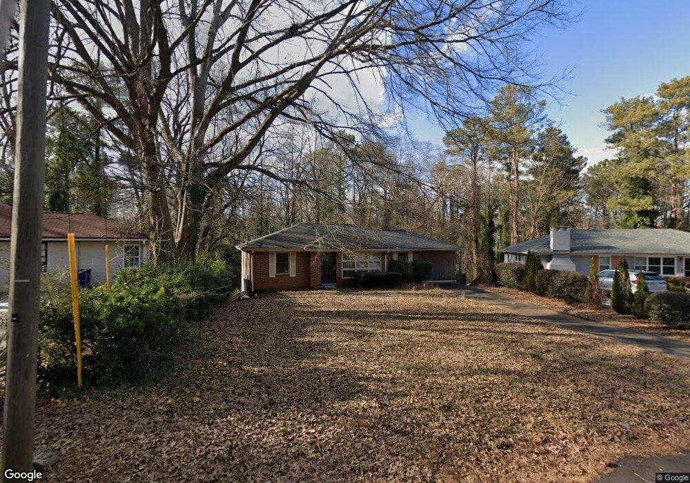
2066 Mark Trail Decatur, GA 30032
Parker NeighborhoodEstimated Value: $213,564 - $279,000
3
Beds
2
Baths
1,126
Sq Ft
$233/Sq Ft
Est. Value
About This Home
This home is located at 2066 Mark Trail, Decatur, GA 30032 and is currently estimated at $262,141, approximately $232 per square foot. 2066 Mark Trail is a home located in DeKalb County with nearby schools including McNair Middle School, McNair High School, and Charles Drew Charter School.
Ownership History
Date
Name
Owned For
Owner Type
Purchase Details
Closed on
Mar 29, 2010
Sold by
Bank Of Ny Rasc 2003Ks7
Bought by
Steffenson Dane
Current Estimated Value
Purchase Details
Closed on
Feb 2, 2010
Sold by
Rolle George
Bought by
Bank Of Ny Rasc 2003Ks7
Purchase Details
Closed on
Dec 23, 2002
Sold by
Rolle George
Bought by
Rolle George E and Rolle Addie P
Home Financials for this Owner
Home Financials are based on the most recent Mortgage that was taken out on this home.
Original Mortgage
$129,700
Interest Rate
5.99%
Mortgage Type
New Conventional
Create a Home Valuation Report for This Property
The Home Valuation Report is an in-depth analysis detailing your home's value as well as a comparison with similar homes in the area
Home Values in the Area
Average Home Value in this Area
Purchase History
| Date | Buyer | Sale Price | Title Company |
|---|---|---|---|
| Steffenson Dane | $29,900 | -- | |
| Bank Of Ny Rasc 2003Ks7 | $26,250 | -- | |
| Rolle George E | -- | -- |
Source: Public Records
Mortgage History
| Date | Status | Borrower | Loan Amount |
|---|---|---|---|
| Previous Owner | Rolle George E | $129,700 |
Source: Public Records
Tax History Compared to Growth
Tax History
| Year | Tax Paid | Tax Assessment Tax Assessment Total Assessment is a certain percentage of the fair market value that is determined by local assessors to be the total taxable value of land and additions on the property. | Land | Improvement |
|---|---|---|---|---|
| 2025 | $3,749 | $75,520 | $37,360 | $38,160 |
| 2024 | $3,907 | $79,240 | $36,160 | $43,080 |
| 2023 | $3,907 | $42,120 | $3,791 | $38,329 |
| 2022 | $2,184 | $42,120 | $3,791 | $38,329 |
| 2021 | $2,184 | $56,080 | $5,200 | $50,880 |
| 2020 | $2,184 | $42,120 | $5,200 | $36,920 |
| 2019 | $2,352 | $45,960 | $5,200 | $40,760 |
| 2018 | $1,412 | $38,280 | $5,200 | $33,080 |
| 2017 | $1,590 | $27,600 | $2,640 | $24,960 |
| 2016 | $1,070 | $16,640 | $2,640 | $14,000 |
| 2014 | $1,011 | $14,920 | $2,640 | $12,280 |
Source: Public Records
Map
Nearby Homes
- 2030 Mark Trail
- 2053 Juanita St
- 2093 Garden Cir
- 2076 Garden Cir
- 2128 Mark Trail
- 2032 Juanita St
- 2146 Trailwood Rd
- 2164 Rockhaven Cir
- 2139 Trailwood Rd
- 2049 Mcafee Rd
- 2147 Mcafee Rd
- 2009 Delphine Dr
- 1977 Camellia Dr
- 2117 Samuel Place
- 701 Daniel Ave
- 2013 Marco Dr
- 2117 Keheley Dr
- 2010 2nd Ave
- 2101 East Dr Unit 10
- 2103 Keheley Dr
- 2062 Mark Trail
- 2070 Mark Trail
- 2058 Mark Trail
- 2074 Mark Trail
- 2073 Mark Trail
- 2054 Mark Trail
- 2106 Juanita St
- 2100 Juanita St
- 2112 Juanita St
- 2079 Mark Trail
- 2078 Mark Trail
- 2057 Mark Trail
- 2116 Juanita St Unit None
- 2116 Juanita St
- 2048 Mark Trail
- 2051 Mark Trail
- 2122 Juanita St
- 2084 Mark Trail
- 2093 Mark Trail
- 2042 Mark Trail