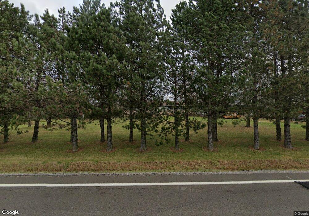
2066 State Route 314 Shelby, OH 44875
Estimated Value: $241,849 - $354,000
3
Beds
2
Baths
1,092
Sq Ft
$253/Sq Ft
Est. Value
About This Home
This home is located at 2066 State Route 314, Shelby, OH 44875 and is currently estimated at $276,712, approximately $253 per square foot. 2066 State Route 314 is a home located in Richland County.
Ownership History
Date
Name
Owned For
Owner Type
Purchase Details
Closed on
May 30, 1997
Sold by
Kromer David W
Bought by
Kennedy Roger A
Current Estimated Value
Home Financials for this Owner
Home Financials are based on the most recent Mortgage that was taken out on this home.
Original Mortgage
$70,000
Interest Rate
8.27%
Mortgage Type
New Conventional
Purchase Details
Closed on
Jan 1, 1986
Create a Home Valuation Report for This Property
The Home Valuation Report is an in-depth analysis detailing your home's value as well as a comparison with similar homes in the area
Home Values in the Area
Average Home Value in this Area
Purchase History
| Date | Buyer | Sale Price | Title Company |
|---|---|---|---|
| Kennedy Roger A | $100,000 | -- | |
| -- | $54,900 | -- |
Source: Public Records
Mortgage History
| Date | Status | Borrower | Loan Amount |
|---|---|---|---|
| Closed | Kennedy Roger A | $70,000 |
Source: Public Records
Tax History Compared to Growth
Tax History
| Year | Tax Paid | Tax Assessment Tax Assessment Total Assessment is a certain percentage of the fair market value that is determined by local assessors to be the total taxable value of land and additions on the property. | Land | Improvement |
|---|---|---|---|---|
| 2024 | $2,578 | $51,660 | $12,030 | $39,630 |
| 2023 | $2,578 | $51,660 | $12,030 | $39,630 |
| 2022 | $2,422 | $41,770 | $10,940 | $30,830 |
| 2021 | $2,427 | $41,770 | $10,940 | $30,830 |
| 2020 | $2,590 | $41,770 | $10,940 | $30,830 |
| 2019 | $2,425 | $35,390 | $9,270 | $26,120 |
| 2018 | $2,059 | $35,390 | $9,270 | $26,120 |
| 2017 | $2,044 | $35,390 | $9,270 | $26,120 |
| 2016 | $2,061 | $35,780 | $8,990 | $26,790 |
| 2015 | $2,059 | $35,780 | $8,990 | $26,790 |
| 2014 | $2,063 | $35,780 | $8,990 | $26,790 |
| 2012 | $967 | $36,890 | $9,270 | $27,620 |
Source: Public Records
Map
Nearby Homes
- 1689 Ohio 314
- 1689 State Route 314
- 1671 State Route 314 N
- 4465 Beam Rd
- 0 Rock Rd
- 1970 Rock Rd
- 4825 Lincoln Hwy
- 3400 Rock Rd
- 832 State Route 314 N
- 2696 Walker Lake Rd
- 1085 Lewis Rd
- 671 Bendle Ave
- 3596 Ohio 39
- 1114 Bogey Dr Unit 1114
- 5263 Lincoln Hwy
- 3763 State Route 39
- 3768 State Route 39
- 5446 Lincoln Hwy
- 5450 Lincoln Hwy
- 3389 Wareham Rd
- 2100 State Route 314
- 2032 State Route 314
- 2220 State Route 314
- 2205 State Route 314
- 2205 State Route 314
- 0 St Rt 314 Unit 600921
- 0 St Rt 314 Unit 606270
- 0 St Rt 314 Unit 606263
- 0 St Rt 314 Unit 601484
- 0 St Rt 314 Unit 9006031
- 0 St Rt 314 Unit 9012265
- 0 St Rt 314 Unit 9014363
- 0 St Rt 314 Unit 9017041
- 0 St Rt 314 Unit 9017525
- 0 St Rt 314 Unit 9017874
- 0 St Rt 314 Unit 9023924
- 0 St Rt 314 Unit 9024170
- 0 St Rt 314 Unit 9026614
- 0 St Rt 314 Unit 9030707
- 0 St Rt 314 Unit 9032822
