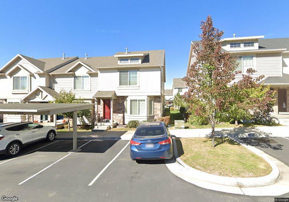
2066 W 1080 N Provo, UT 84604
Rivergrove NeighborhoodEstimated Value: $393,000 - $412,748
4
Beds
4
Baths
2,084
Sq Ft
$195/Sq Ft
Est. Value
About This Home
This home is located at 2066 W 1080 N, Provo, UT 84604 and is currently estimated at $405,937, approximately $194 per square foot. 2066 W 1080 N is a home located in Utah County with nearby schools including Westridge Elementary School, Dixon Middle School, and Provo High School.
Ownership History
Date
Name
Owned For
Owner Type
Purchase Details
Closed on
May 1, 2019
Sold by
Lemieux Tere and Lemieux Darla
Bought by
Anderson Jason Leroy
Current Estimated Value
Home Financials for this Owner
Home Financials are based on the most recent Mortgage that was taken out on this home.
Original Mortgage
$259,089
Outstanding Balance
$229,683
Interest Rate
4.62%
Mortgage Type
FHA
Estimated Equity
$176,254
Purchase Details
Closed on
Aug 28, 2015
Sold by
Maddox Independence Rentals Llc
Bought by
Lemieux Tere and Lemieux Darla
Home Financials for this Owner
Home Financials are based on the most recent Mortgage that was taken out on this home.
Original Mortgage
$122,900
Interest Rate
3.91%
Mortgage Type
New Conventional
Create a Home Valuation Report for This Property
The Home Valuation Report is an in-depth analysis detailing your home's value as well as a comparison with similar homes in the area
Home Values in the Area
Average Home Value in this Area
Purchase History
| Date | Buyer | Sale Price | Title Company |
|---|---|---|---|
| Anderson Jason Leroy | -- | Provo Land Title Co | |
| Lemieux Tere | -- | Provo Land Title Co |
Source: Public Records
Mortgage History
| Date | Status | Borrower | Loan Amount |
|---|---|---|---|
| Open | Anderson Jason Leroy | $259,089 | |
| Previous Owner | Lemieux Tere | $122,900 |
Source: Public Records
Tax History Compared to Growth
Tax History
| Year | Tax Paid | Tax Assessment Tax Assessment Total Assessment is a certain percentage of the fair market value that is determined by local assessors to be the total taxable value of land and additions on the property. | Land | Improvement |
|---|---|---|---|---|
| 2025 | $2,137 | $210,595 | $56,300 | $326,600 |
| 2024 | $2,137 | $210,320 | $0 | $0 |
| 2023 | $2,070 | $200,860 | $0 | $0 |
| 2022 | $2,169 | $212,245 | $0 | $0 |
| 2021 | $1,700 | $290,100 | $43,500 | $246,600 |
| 2020 | $1,641 | $262,600 | $39,400 | $223,200 |
| 2019 | $1,563 | $260,000 | $33,800 | $226,200 |
| 2018 | $1,410 | $238,000 | $29,000 | $209,000 |
| 2017 | $1,305 | $121,000 | $0 | $0 |
| 2016 | $1,254 | $108,350 | $0 | $0 |
| 2015 | $1,184 | $103,400 | $0 | $0 |
| 2014 | $463 | $42,130 | $0 | $0 |
Source: Public Records
Map
Nearby Homes
- 2066 W 1080 N Unit 103
- 2070 W 1080 N
- 2058 W 1080 N
- 2074 W 1080 N Unit 101
- 2054 W 1080 N
- 2050 W 1080 N
- 2046 W 1080 N
- 2063 W 1080 N Unit 96
- 2067 W 1100 N
- 2067 W 1100 N Unit 2067
- 2059 W 1080 N
- 2059 W 1080 N Unit 97B
- 2067 W 1080 N Unit 95
- 2071 W 1100 N
- 2059 W 1100 N Unit 124
- 2059 W 1100 N
- 2071 W 1080 N Unit 94C
- 2071 W 1080 N
- 2075 W 1100 N
- 2055 W 1100 N