2066 Zell Rd Ferndale, WA 98248
Estimated Value: $773,000 - $943,000
3
Beds
3
Baths
2,090
Sq Ft
$422/Sq Ft
Est. Value
About This Home
This home is located at 2066 Zell Rd, Ferndale, WA 98248 and is currently estimated at $882,104, approximately $422 per square foot. 2066 Zell Rd is a home located in Whatcom County with nearby schools including Custer Elementary School, Horizon Middle School, and Ferndale High School.
Ownership History
Date
Name
Owned For
Owner Type
Purchase Details
Closed on
Feb 22, 2012
Sold by
Haynie Harold and Haynie Marlene
Bought by
Torohoff Anthony and Torohoff Louise
Current Estimated Value
Home Financials for this Owner
Home Financials are based on the most recent Mortgage that was taken out on this home.
Original Mortgage
$196,000
Outstanding Balance
$22,655
Interest Rate
3.11%
Mortgage Type
New Conventional
Estimated Equity
$859,449
Create a Home Valuation Report for This Property
The Home Valuation Report is an in-depth analysis detailing your home's value as well as a comparison with similar homes in the area
Home Values in the Area
Average Home Value in this Area
Purchase History
| Date | Buyer | Sale Price | Title Company |
|---|---|---|---|
| Torohoff Anthony | $391,484 | Chicago Title Company |
Source: Public Records
Mortgage History
| Date | Status | Borrower | Loan Amount |
|---|---|---|---|
| Open | Torohoff Anthony | $196,000 |
Source: Public Records
Tax History Compared to Growth
Tax History
| Year | Tax Paid | Tax Assessment Tax Assessment Total Assessment is a certain percentage of the fair market value that is determined by local assessors to be the total taxable value of land and additions on the property. | Land | Improvement |
|---|---|---|---|---|
| 2024 | $6,116 | $830,166 | $340,897 | $489,269 |
| 2023 | $6,116 | $852,451 | $382,000 | $470,451 |
| 2022 | $5,765 | $792,855 | $228,359 | $564,496 |
| 2021 | $5,374 | $629,243 | $181,235 | $448,008 |
| 2020 | $5,514 | $533,256 | $153,589 | $379,667 |
| 2019 | $4,419 | $493,751 | $142,210 | $351,541 |
| 2018 | $5,201 | $449,749 | $129,537 | $320,212 |
| 2017 | $4,518 | $405,179 | $116,700 | $288,479 |
| 2016 | $4,503 | $371,321 | $112,457 | $258,864 |
| 2015 | $4,353 | $371,321 | $112,457 | $258,864 |
| 2014 | -- | $349,241 | $105,770 | $243,471 |
| 2013 | -- | $341,821 | $103,523 | $238,298 |
Source: Public Records
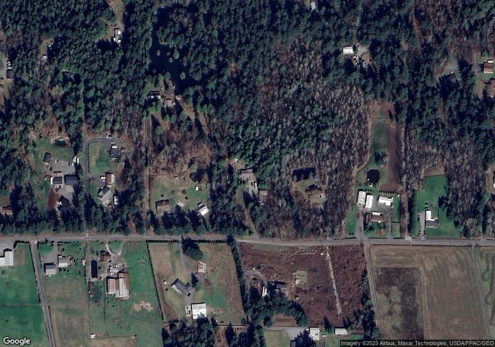
Map
Nearby Homes
- 0 2151xx Harksell Rd
- 1711 Garden Farms Rd
- 1997 Conifer Dr
- 7136 Portal Way Unit 18
- 0 Willeys Lake Rd Unit NWM2442375
- 2070 Grandview Rd
- 8030 Dean Dr
- 2020 Grandview Rd
- 8085 Audra Ln
- 2036 Grandview Rd
- 7007 Dahlberg Rd
- 1939 Grandview Rd
- 2265 Grandview Rd
- 6850 Portal Way
- 0 Creasy Unit NWM2414278
- 0 Creasy Unit NWM2397377
- 2477 Jess Rd
- 2243 Brown Rd
- 2948 Arnie Rd
- 0 xxx Brown Rd