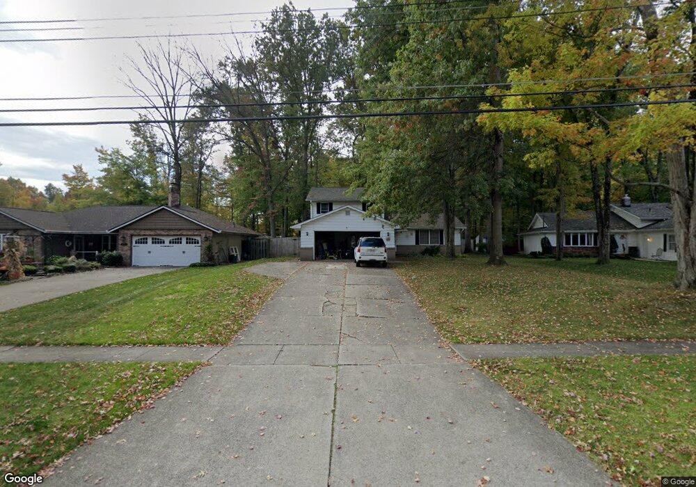
20661 Chestnut Dr Strongsville, OH 44149
Estimated Value: $271,000 - $339,000
3
Beds
2
Baths
1,466
Sq Ft
$204/Sq Ft
Est. Value
About This Home
This home is located at 20661 Chestnut Dr, Strongsville, OH 44149 and is currently estimated at $299,736, approximately $204 per square foot. 20661 Chestnut Dr is a home located in Cuyahoga County with nearby schools including Strongsville High School, St Mary School, and Sts Joseph & John Interparochial School.
Ownership History
Date
Name
Owned For
Owner Type
Purchase Details
Closed on
Jun 24, 2005
Sold by
Zver Victoria A
Bought by
Tomsic Mark J
Current Estimated Value
Home Financials for this Owner
Home Financials are based on the most recent Mortgage that was taken out on this home.
Original Mortgage
$120,000
Outstanding Balance
$63,090
Interest Rate
5.87%
Mortgage Type
Fannie Mae Freddie Mac
Estimated Equity
$236,646
Purchase Details
Closed on
Sep 24, 1991
Sold by
Zver Genevieve
Bought by
Zver Genevieve
Purchase Details
Closed on
May 11, 1990
Sold by
Zver John S
Bought by
Zver Genevieve
Purchase Details
Closed on
Apr 2, 1985
Sold by
Zver John S and Zver Genevieve
Bought by
Zver John S
Purchase Details
Closed on
Jan 1, 1975
Bought by
Zver John S and Zver Genevieve
Create a Home Valuation Report for This Property
The Home Valuation Report is an in-depth analysis detailing your home's value as well as a comparison with similar homes in the area
Home Values in the Area
Average Home Value in this Area
Purchase History
| Date | Buyer | Sale Price | Title Company |
|---|---|---|---|
| Tomsic Mark J | $150,000 | Rockside | |
| Zver Genevieve | -- | -- | |
| Zver Genevieve | -- | -- | |
| Zver John S | -- | -- | |
| Zver John S | -- | -- |
Source: Public Records
Mortgage History
| Date | Status | Borrower | Loan Amount |
|---|---|---|---|
| Open | Tomsic Mark J | $120,000 |
Source: Public Records
Tax History Compared to Growth
Tax History
| Year | Tax Paid | Tax Assessment Tax Assessment Total Assessment is a certain percentage of the fair market value that is determined by local assessors to be the total taxable value of land and additions on the property. | Land | Improvement |
|---|---|---|---|---|
| 2024 | $4,015 | $85,505 | $18,865 | $66,640 |
| 2023 | $4,532 | $72,380 | $15,960 | $56,420 |
| 2022 | $4,499 | $72,380 | $15,960 | $56,420 |
| 2021 | $4,464 | $72,380 | $15,960 | $56,420 |
| 2020 | $4,136 | $59,330 | $13,090 | $46,240 |
| 2019 | $4,015 | $169,500 | $37,400 | $132,100 |
| 2018 | $2,222 | $59,330 | $13,090 | $46,240 |
| 2017 | $3,716 | $56,010 | $11,940 | $44,070 |
| 2016 | $3,685 | $56,010 | $11,940 | $44,070 |
| 2015 | $3,627 | $56,010 | $11,940 | $44,070 |
| 2014 | $3,627 | $54,360 | $11,590 | $42,770 |
Source: Public Records
Map
Nearby Homes
- 20424 Scotch Pine Way
- 20684 Albion Rd
- 10839 Prospect Rd
- 21176 Hickory Branch Trail
- 21355 Hickory Branch Trail
- 20050 Idlewood Trail
- 9401 Pheasant Run Place
- 19890 Idlewood Trail
- 19997 Idlewood Trail
- 10353 Oak Branch Trail
- 10986 Fawn Meadow Ln
- 11179 Fawn Meadow Ln
- 0 Priem Rd
- 21469 Woodview Cir
- 9829 Plum Brook Ln
- 22300 Rock Creek Cir
- 8627 Courtland Dr
- 19240 Briarwood Ln
- 11432 Pearl Rd
- 11030 Southwind Ct
- 20663 Chestnut Dr
- 20659 Fairtree Dr
- 20665 Chestnut Dr
- 10295 Fairtree Dr
- 10338 Fairtree Dr
- 20667 Chestnut Dr
- 10298 Fairtree Dr
- 10253 Fairtree Dr
- 10294 Fairtree Dr
- 10138 Peachtree Dr
- 10249 Fairtree Dr
- 10252 Fairtree Dr
- 20669 Chestnut Dr
- 10134 Peachtree Dr
- 10208 Fairtree Dr
- 10205 Fairtree Dr
- 20442 Prairie Meadows Place
- 20671 Chestnut Dr
- 10141 Peachtree Dr
- 10130 Peachtree Dr