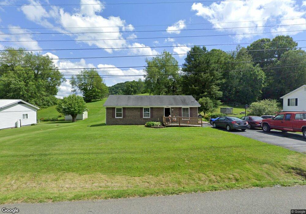
20662 Haskell Station Rd Bristol, VA 24202
Estimated Value: $165,000 - $188,000
3
Beds
1
Bath
1,008
Sq Ft
$171/Sq Ft
Est. Value
About This Home
This home is located at 20662 Haskell Station Rd, Bristol, VA 24202 and is currently estimated at $171,988, approximately $170 per square foot. 20662 Haskell Station Rd is a home located in Washington County with nearby schools including Valley Institute Elementary School, Wallace Middle School, and John S. Battle High School.
Ownership History
Date
Name
Owned For
Owner Type
Purchase Details
Closed on
Apr 25, 2023
Sold by
Meadows Janet
Bought by
Milhorn John P
Current Estimated Value
Home Financials for this Owner
Home Financials are based on the most recent Mortgage that was taken out on this home.
Original Mortgage
$125,000
Outstanding Balance
$122,132
Interest Rate
7.63%
Mortgage Type
New Conventional
Estimated Equity
$49,856
Create a Home Valuation Report for This Property
The Home Valuation Report is an in-depth analysis detailing your home's value as well as a comparison with similar homes in the area
Home Values in the Area
Average Home Value in this Area
Purchase History
| Date | Buyer | Sale Price | Title Company |
|---|---|---|---|
| Milhorn John P | $125,000 | Fidelity National Title |
Source: Public Records
Mortgage History
| Date | Status | Borrower | Loan Amount |
|---|---|---|---|
| Open | Milhorn John P | $125,000 |
Source: Public Records
Tax History Compared to Growth
Tax History
| Year | Tax Paid | Tax Assessment Tax Assessment Total Assessment is a certain percentage of the fair market value that is determined by local assessors to be the total taxable value of land and additions on the property. | Land | Improvement |
|---|---|---|---|---|
| 2025 | $382 | $122,800 | $10,000 | $112,800 |
| 2024 | $382 | $63,700 | $10,000 | $53,700 |
| 2023 | $382 | $63,700 | $10,000 | $53,700 |
| 2022 | $382 | $63,700 | $10,000 | $53,700 |
| 2021 | $382 | $63,700 | $10,000 | $53,700 |
| 2019 | $358 | $56,900 | $10,000 | $46,900 |
| 2018 | $358 | $56,900 | $10,000 | $46,900 |
| 2017 | $358 | $56,900 | $10,000 | $46,900 |
| 2016 | $408 | $64,800 | $20,000 | $44,800 |
| 2015 | $408 | $64,800 | $20,000 | $44,800 |
| 2014 | $408 | $64,800 | $20,000 | $44,800 |
Source: Public Records
Map
Nearby Homes
- TBD Benhams Rd
- 8492 Reedy Creek Rd
- 8464 Reedy Creek Rd
- 19796 Spur Strap Rd
- 10357 Goldspier Dr
- Tbd Snaffle Bit Ln
- 21524 Benhams Rd
- 21527 Campground Rd
- 10292 Redwood Cir
- 19374 Benhams Rd
- 22126 Pinebrook Dr
- 22319 Campground Rd
- Tbd Old Airport Rd
- TBD Highway Fifty-Eight
- 11+ Acres Campground Rd
- 980 Edgewood Ln
- 1091 Long Crescent Dr
- 390 Wallace Pike
- 363 Sandalwood Dr
- 311 Brookdale Cir
- 20672 Haskell Station Rd
- 20652 Haskell Station Rd
- 20680 Haskell Station Rd
- 20640 Haskell Station Rd
- 20434 Benhams Rd
- 20630 Haskell Station Rd
- 20410 Benhams Rd
- 20400 Benhams Rd
- 20422 Benhams Rd
- 20440 Benhams Rd
- 20372 Benhams Rd
- 20620 Haskell Station Rd
- TBA Benhams Rd
- 20590 Haskell Station Rd
- 20350 Benhams Rd
- 20385 Benhams Rd
- BENHAMS Benhams Rd
- 20341 Benhams Rd
- 9438 Goose Creek Rd
- 20306 Benhams Rd