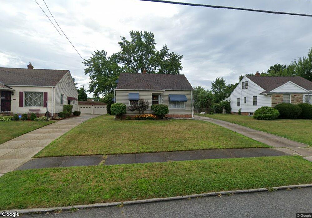
20664 Applegate Rd Maple Heights, OH 44137
Estimated Value: $123,000 - $138,000
3
Beds
1
Bath
1,222
Sq Ft
$106/Sq Ft
Est. Value
About This Home
This home is located at 20664 Applegate Rd, Maple Heights, OH 44137 and is currently estimated at $129,090, approximately $105 per square foot. 20664 Applegate Rd is a home located in Cuyahoga County with nearby schools including Abraham Lincoln Elementary School, Rockside/ J.F. Kennedy School, and Barack Obama School.
Ownership History
Date
Name
Owned For
Owner Type
Purchase Details
Closed on
Nov 1, 1985
Sold by
Gregerson Larry J and Gregerson Charyl D
Bought by
Folisi Russell T
Current Estimated Value
Purchase Details
Closed on
Mar 22, 1985
Sold by
Gregerson Larry J
Bought by
Gregerson Larry J and Gregerson Charyl D
Purchase Details
Closed on
Mar 1, 1985
Sold by
William F Kickel
Bought by
Gregerson Larry J
Purchase Details
Closed on
Jun 18, 1982
Sold by
Kickel Anna
Bought by
William F Kickel
Purchase Details
Closed on
Jan 1, 1975
Bought by
Kickel Anna
Create a Home Valuation Report for This Property
The Home Valuation Report is an in-depth analysis detailing your home's value as well as a comparison with similar homes in the area
Home Values in the Area
Average Home Value in this Area
Purchase History
| Date | Buyer | Sale Price | Title Company |
|---|---|---|---|
| Folisi Russell T | $52,000 | -- | |
| Gregerson Larry J | -- | -- | |
| Gregerson Larry J | $45,000 | -- | |
| William F Kickel | -- | -- | |
| Kickel Anna | -- | -- |
Source: Public Records
Tax History
| Year | Tax Paid | Tax Assessment Tax Assessment Total Assessment is a certain percentage of the fair market value that is determined by local assessors to be the total taxable value of land and additions on the property. | Land | Improvement |
|---|---|---|---|---|
| 2024 | $3,756 | $41,650 | $7,805 | $33,845 |
| 2023 | $2,784 | $26,120 | $5,150 | $20,970 |
| 2022 | $2,774 | $26,110 | $5,150 | $20,970 |
| 2021 | $2,958 | $26,110 | $5,150 | $20,970 |
| 2020 | $2,525 | $19,780 | $3,890 | $15,890 |
| 2019 | $2,509 | $56,500 | $11,100 | $45,400 |
| 2018 | $2,460 | $19,780 | $3,890 | $15,890 |
| 2017 | $2,609 | $20,380 | $3,890 | $16,490 |
| 2016 | $2,521 | $20,380 | $3,890 | $16,490 |
| 2015 | $2,534 | $20,380 | $3,890 | $16,490 |
| 2014 | $2,534 | $22,400 | $4,270 | $18,130 |
Source: Public Records
Map
Nearby Homes
- 339 Grand Blvd
- 19113 Watercrest Ave
- 123 Willard Ave
- 21202 Gardenview Dr
- 54 Willard Ave
- 419 Center Rd
- 66 Hubbell Way
- 58 Hubbell Way
- 62 Hubbell Way
- 54 Hubbell Way
- 0 Hubbell Cir
- 21607 Libby Rd
- 61 Hubbell Way
- 57 Hubbell Way
- 20806 Clare Ave
- 19289 Stafford Ave
- 21202 Hillgrove Ave
- 5424 Fairtree Rd
- 5147 Warrensville Center Rd
- 21207 Franklin Rd
- 20668 Applegate Rd
- 20660 Applegate Rd
- 20672 Applegate Rd
- 20656 Applegate Rd
- 20663 Donny Brook Rd
- 20667 Donny Brook Rd
- 20659 Donny Brook Rd
- 20676 Applegate Rd
- 20671 Donny Brook Rd
- 20652 Applegate Rd
- 20655 Donny Brook Rd
- 20663 Applegate Rd
- 20667 Applegate Rd
- 20659 Applegate Rd
- 20675 Donny Brook Rd
- 20671 Applegate Rd
- 20655 Applegate Rd
- 20651 Donny Brook Rd
- 20648 Applegate Rd
- 20680 Applegate Rd
Your Personal Tour Guide
Ask me questions while you tour the home.