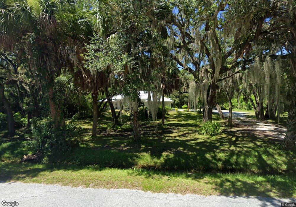
2067 53rd St Sarasota, FL 34234
Desoto Acres NeighborhoodEstimated Value: $766,000 - $928,000
4
Beds
3
Baths
2,333
Sq Ft
$367/Sq Ft
Est. Value
About This Home
This home is located at 2067 53rd St, Sarasota, FL 34234 and is currently estimated at $857,034, approximately $367 per square foot. 2067 53rd St is a home located in Sarasota County with nearby schools including Emma E. Booker Elementary School, Booker Middle School, and Booker High School.
Ownership History
Date
Name
Owned For
Owner Type
Purchase Details
Closed on
Jan 6, 2021
Sold by
Hudson Donald Kenneth and Hudson Shirley Jean
Bought by
Hudson Donald Kenneth and Hudson Shirley Jean
Current Estimated Value
Purchase Details
Closed on
Feb 18, 1999
Sold by
Krueger William L and Krueger Louise
Bought by
Hudson Donald Kenneth and Hudson Shirley
Home Financials for this Owner
Home Financials are based on the most recent Mortgage that was taken out on this home.
Original Mortgage
$54,000
Outstanding Balance
$12,611
Interest Rate
6.84%
Estimated Equity
$844,423
Create a Home Valuation Report for This Property
The Home Valuation Report is an in-depth analysis detailing your home's value as well as a comparison with similar homes in the area
Home Values in the Area
Average Home Value in this Area
Purchase History
| Date | Buyer | Sale Price | Title Company |
|---|---|---|---|
| Hudson Donald Kenneth | -- | Accommodation | |
| Hudson Donald Kenneth | $72,000 | -- | |
| Hudson Donald Kenneth | $72,000 | -- |
Source: Public Records
Mortgage History
| Date | Status | Borrower | Loan Amount |
|---|---|---|---|
| Open | Hudson Donald Kenneth | $54,000 | |
| Closed | Hudson Donald Kenneth | $54,000 |
Source: Public Records
Tax History Compared to Growth
Tax History
| Year | Tax Paid | Tax Assessment Tax Assessment Total Assessment is a certain percentage of the fair market value that is determined by local assessors to be the total taxable value of land and additions on the property. | Land | Improvement |
|---|---|---|---|---|
| 2024 | $4,316 | $363,720 | -- | -- |
| 2023 | $4,316 | $353,126 | $0 | $0 |
| 2022 | $4,208 | $342,841 | $0 | $0 |
| 2021 | $4,202 | $332,855 | $0 | $0 |
| 2020 | $4,211 | $328,259 | $0 | $0 |
| 2019 | $4,070 | $320,879 | $0 | $0 |
| 2018 | $3,784 | $299,390 | $0 | $0 |
| 2017 | $3,767 | $293,232 | $0 | $0 |
| 2016 | $3,781 | $369,100 | $133,400 | $235,700 |
| 2015 | $3,845 | $328,400 | $118,900 | $209,500 |
| 2014 | $3,830 | $278,760 | $0 | $0 |
Source: Public Records
Map
Nearby Homes
- 2070 59th St
- 1825 Innisbrook Ln
- 1871 Palm Springs St
- 5316 Beechmont Ave
- 1806 Brook Field Terrace
- 5321 Rancho Ave
- 4775 Tri Par Dr
- 1760 Brook Field Terrace
- 4820 Calumet Ave
- 1711 Broadmoor St
- 5112 Glen Echo Ave
- 4810 Tri Par Dr
- 2424 51st St
- 5119 Glen Echo Ave
- 4822 Tri Par Dr
- 5229 Bel Air Ave
- 5213 Bel Air Ave
- 2255 61st St
- 1744 Midlothian St
- 1674 University Pkwy Unit 174