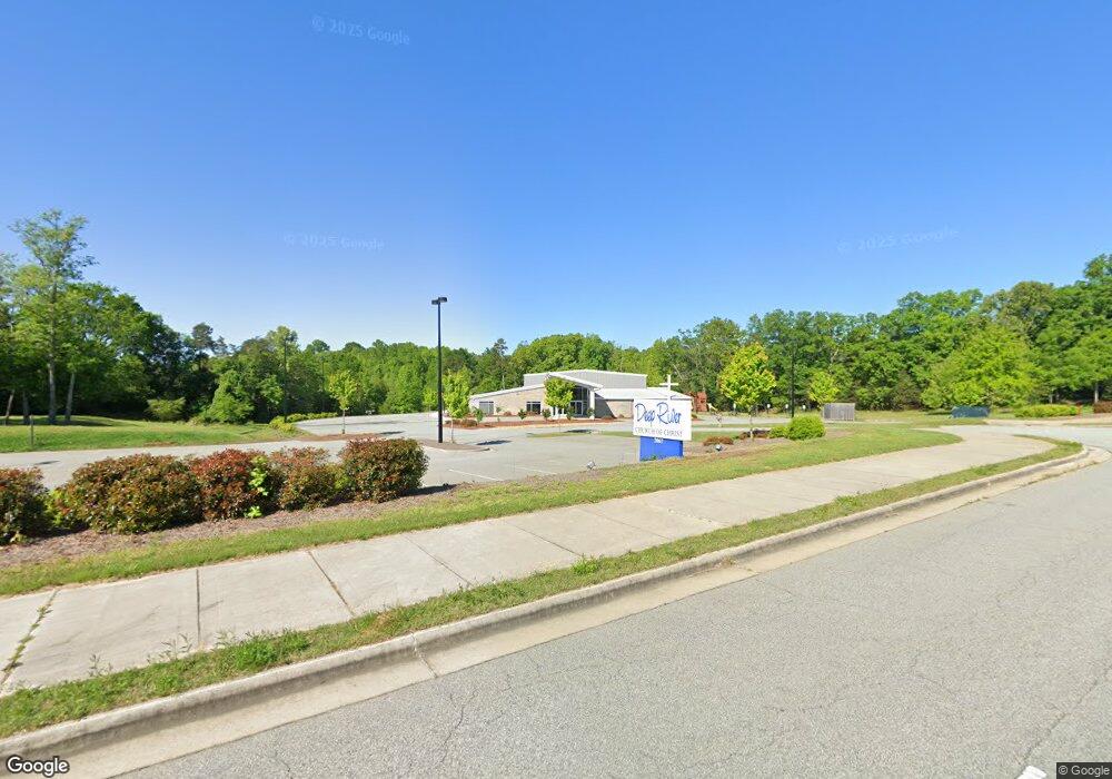
2067 Deep River Rd High Point, NC 27265
Festival Park NeighborhoodEstimated Value: $1,238,948
Studio
1
Bath
12,865
Sq Ft
$96/Sq Ft
Est. Value
About This Home
This home is located at 2067 Deep River Rd, High Point, NC 27265 and is currently priced at $1,238,948, approximately $96 per square foot. 2067 Deep River Rd is a home located in Guilford County with nearby schools including Montlieu Academy of Technology, Welborn Academy of Science & Technology, and T.W. Andrews High School.
Ownership History
Date
Name
Owned For
Owner Type
Purchase Details
Closed on
Aug 24, 2009
Bought by
Deep River Church Of Christ
Current Estimated Value
Purchase Details
Closed on
Jul 31, 2009
Sold by
Stephens James Franklin and Stephens Denise A
Bought by
Deep River Church Of Christ
Purchase Details
Closed on
Apr 7, 2009
Sold by
Deep River Church Of Christ
Bought by
Rogjim Llc
Create a Home Valuation Report for This Property
The Home Valuation Report is an in-depth analysis detailing your home's value as well as a comparison with similar homes in the area
Home Values in the Area
Average Home Value in this Area
Purchase History
| Date | Buyer | Sale Price | Title Company |
|---|---|---|---|
| Deep River Church Of Christ | -- | -- | |
| Deep River Church Of Christ | $35,000 | None Available | |
| Rogjim Llc | -- | None Available |
Source: Public Records
Tax History
| Year | Tax Paid | Tax Assessment Tax Assessment Total Assessment is a certain percentage of the fair market value that is determined by local assessors to be the total taxable value of land and additions on the property. | Land | Improvement |
|---|---|---|---|---|
| 2025 | -- | $1,504,700 | $284,500 | $1,220,200 |
| 2024 | -- | $1,504,700 | $284,500 | $1,220,200 |
| 2023 | -- | $1,504,700 | $284,500 | $1,220,200 |
| 2022 | $0 | $1,504,700 | $284,500 | $1,220,200 |
| 2021 | $2,481 | $1,420,300 | $197,600 | $1,222,700 |
| 2020 | $2,481 | $1,420,300 | $197,600 | $1,222,700 |
| 2019 | $2,481 | $0 | $0 | $0 |
| 2018 | $0 | $0 | $0 | $0 |
| 2017 | $2,709 | $197,600 | $0 | $0 |
| 2016 | $2,494 | $177,800 | $0 | $0 |
| 2015 | $2,507 | $177,800 | $0 | $0 |
| 2014 | $2,550 | $177,800 | $0 | $0 |
Source: Public Records
Map
Nearby Homes
- 3630 Sunset Hollow Dr
- 3650 Sunset Hollow Dr
- 3464 Basalt Ct
- 2731 Dandelion Dr
- 3505 Timbergate Ln
- 3534 Running Cedar Trail
- 3518 Pebblestone Ln
- 1935 Eastchester Dr
- 2200 Delaine Point
- 1905 Fox Creek Ct
- 2115 Mirus Ct
- 3710 Spanish Peak Dr Unit 2D
- 3724 Spanish Peak Dr Unit 2B
- 3400 Herron Point
- 4109 Oak Hollow Dr
- 3869 Hickswood Creek Dr
- 1811 Lazy Ln
- 3871 Eagleston Ct
- 2706 Edenridge Dr
- 2674 Splitbrooke Dr
- 2920 Mossy Meadow Dr
- 3509 Sunset Hollow Ct
- 2916 Mossy Meadow Dr
- 2921 Mossy Meadow Dr
- 3529 Sunset Hollow Ct
- 3517 Sunset Hollow Ct
- 2917 Mossy Meadow Dr
- 3533 Sunset Hollow Ct
- 3513 Sunset Hollow Ct
- 3537 Sunset Hollow Ct
- 2913 Mossy Meadow Dr
- 3505 Sunset Hollow Ct
- 2101 White Farm Ln
- 2909 Mossy Meadow Dr
- 3541 Sunset Hollow Ct
- 3501 Sunset Hollow Ct
- 2905 Mossy Meadow Dr
- 3545 Sunset Hollow Ct
- 3603 Sunset Hollow Dr
- 2901 Mossy Meadow Dr
Your Personal Tour Guide
Ask me questions while you tour the home.