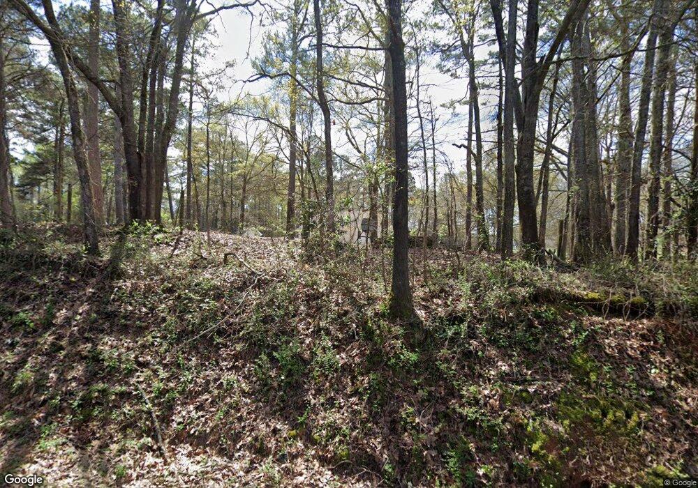
2067 Green St Concord, GA 30206
Estimated Value: $257,557 - $274,000
2
Beds
2
Baths
1,320
Sq Ft
$202/Sq Ft
Est. Value
About This Home
This home is located at 2067 Green St, Concord, GA 30206 and is currently estimated at $266,639, approximately $201 per square foot. 2067 Green St is a home located in Pike County with nearby schools including Pike County Primary School, Pike County Elementary School, and Pike County Middle School.
Ownership History
Date
Name
Owned For
Owner Type
Purchase Details
Closed on
Dec 11, 2007
Sold by
Cobble Jason
Bought by
Graham Ken and Graham Gloria
Current Estimated Value
Purchase Details
Closed on
Jun 15, 2005
Sold by
Carson Susan L
Bought by
Cobble Jason G and Cobble Angela M
Purchase Details
Closed on
May 23, 2002
Sold by
Carson Donald S
Bought by
Carson Susan L
Purchase Details
Closed on
Sep 5, 1987
Sold by
Quigley W W
Bought by
Carson Donald S and Carson Susan L
Create a Home Valuation Report for This Property
The Home Valuation Report is an in-depth analysis detailing your home's value as well as a comparison with similar homes in the area
Home Values in the Area
Average Home Value in this Area
Purchase History
| Date | Buyer | Sale Price | Title Company |
|---|---|---|---|
| Graham Ken | $115,000 | -- | |
| Cobble Jason G | -- | -- | |
| Carson Susan L | -- | -- | |
| Carson Donald S | -- | -- |
Source: Public Records
Tax History Compared to Growth
Tax History
| Year | Tax Paid | Tax Assessment Tax Assessment Total Assessment is a certain percentage of the fair market value that is determined by local assessors to be the total taxable value of land and additions on the property. | Land | Improvement |
|---|---|---|---|---|
| 2024 | $1,348 | $67,193 | $17,345 | $49,848 |
| 2023 | $1,585 | $67,193 | $17,345 | $49,848 |
| 2022 | $1,579 | $56,317 | $17,345 | $38,972 |
| 2021 | $1,333 | $46,302 | $7,330 | $38,972 |
| 2020 | $1,348 | $46,302 | $7,330 | $38,972 |
| 2019 | $1,197 | $36,567 | $7,330 | $29,237 |
| 2018 | $1,198 | $36,567 | $7,330 | $29,237 |
| 2017 | $1,188 | $36,567 | $7,330 | $29,237 |
| 2016 | $1,103 | $36,567 | $7,330 | $29,237 |
| 2015 | $1,049 | $36,567 | $7,330 | $29,237 |
| 2014 | $1,064 | $36,567 | $7,330 | $29,237 |
| 2013 | -- | $36,567 | $7,330 | $29,237 |
Source: Public Records
Map
Nearby Homes
- 10000 Highway 18 W
- 1337 Green St
- L-8 Strickland Rd
- LOT 12 Flint Farms Dr
- LOT 11 Flint Farms Dr
- TRACT 5 Bates Rd (13 98acs)
- 184 Flint Farms Dr
- 243 Flint Farms Dr
- 126 Flint Farms Dr
- 0 West Rd Unit 10536330
- 0 West Rd Unit 10541322
- 0 Green St Unit 20083878
- TRACT 2 Bates Rd (56 99acs)
- TRACT 1 Bates Rd (14 05acs)
- 0 W Fossett Rd Unit 10629253
- 2246 Concord Rd
- 3.39 ACRES Caldwell Bridge Rd
- 2505 Plan at Ashley Glen
- 2604 Plan at Ashley Glen
- 2316 Plan at Ashley Glen
- 249 Herwin Dr
- 1777 Fossett Rd
- 1905 Green St
- 1946 Green St
- 1875 Green St
- 1875 Green St Unit 1
- 1811 Green St Unit 2
- 2199 Green St
- 00 Green St
- 2201 Green St
- 2199 & 2201 Green St
- 1820 Green St
- 10066 Highway 18 W
- 2200 Green St
- 2251 Green St
- 0 Harris Rd Unit 3262008
- 0 Harris Rd Unit T-A 7163439
- 0 Harris Rd Unit K 7241554
- 0 Harris Rd Unit H 7241550
- 0 Harris Rd Unit T-A 7463000
