2067 Highway 330 Bogart, GA 30622
Estimated Value: $453,036 - $525,000
--
Bed
1
Bath
2,145
Sq Ft
$229/Sq Ft
Est. Value
About This Home
This home is located at 2067 Highway 330, Bogart, GA 30622 and is currently estimated at $490,509, approximately $228 per square foot. 2067 Highway 330 is a home located in Jackson County with nearby schools including South Jackson Elementary School, East Jackson Middle School, and East Jackson Comprehensive High School.
Ownership History
Date
Name
Owned For
Owner Type
Purchase Details
Closed on
Jun 9, 2022
Sold by
Capitol Atlantic Properties Llc
Bought by
Vice Shannon and Vice Jim W
Current Estimated Value
Home Financials for this Owner
Home Financials are based on the most recent Mortgage that was taken out on this home.
Original Mortgage
$375,300
Outstanding Balance
$350,791
Interest Rate
3.63%
Mortgage Type
New Conventional
Estimated Equity
$139,718
Purchase Details
Closed on
Jul 12, 2021
Sold by
Hayes Keith
Bought by
Capitol Atlantic Properties Llc
Purchase Details
Closed on
Aug 3, 2004
Sold by
Seagraves Rickey E
Bought by
Hayes Keith
Create a Home Valuation Report for This Property
The Home Valuation Report is an in-depth analysis detailing your home's value as well as a comparison with similar homes in the area
Home Values in the Area
Average Home Value in this Area
Purchase History
| Date | Buyer | Sale Price | Title Company |
|---|---|---|---|
| Vice Shannon | $417,000 | -- | |
| Vice Shannon | $417,000 | -- | |
| Capitol Atlantic Properties Llc | $90,000 | -- | |
| Hayes Keith | $75,000 | -- |
Source: Public Records
Mortgage History
| Date | Status | Borrower | Loan Amount |
|---|---|---|---|
| Open | Vice Shannon | $375,300 | |
| Closed | Vice Shannon | $375,300 |
Source: Public Records
Tax History Compared to Growth
Tax History
| Year | Tax Paid | Tax Assessment Tax Assessment Total Assessment is a certain percentage of the fair market value that is determined by local assessors to be the total taxable value of land and additions on the property. | Land | Improvement |
|---|---|---|---|---|
| 2024 | $4,401 | $173,760 | $14,480 | $159,280 |
| 2023 | $4,362 | $152,680 | $14,480 | $138,200 |
| 2022 | $278 | $9,640 | $9,640 | $0 |
| 2021 | $280 | $9,640 | $9,640 | $0 |
| 2020 | $308 | $9,640 | $9,640 | $0 |
| 2019 | $313 | $9,640 | $9,640 | $0 |
| 2018 | $317 | $9,640 | $9,640 | $0 |
| 2017 | $321 | $9,670 | $9,670 | $0 |
| 2016 | $323 | $9,670 | $9,670 | $0 |
| 2015 | $191 | $5,694 | $5,694 | $0 |
| 2014 | $192 | $5,694 | $5,694 | $0 |
| 2013 | -- | $5,694 | $5,694 | $0 |
Source: Public Records
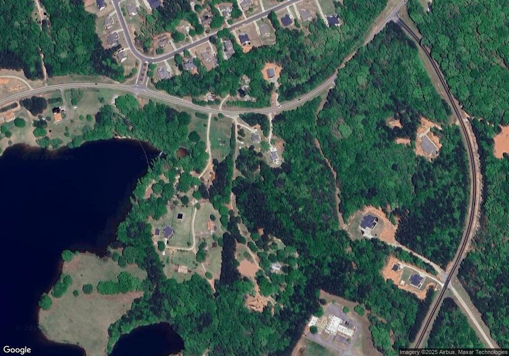
Map
Nearby Homes
- 405 Rapids Dr
- 0 Marko Dr Unit 1024157
- 345 Three Oaks Dr
- 5109 Tallassee Rd
- 2245 Tallassee Rd
- 4072 Lebanon Church Rd
- 2464 Savage Rd
- 0 Ford Rd Unit 7638741
- 0 Ford Rd Unit 10591534
- 105 Tomrick Ct
- 0 Highway 330 Unit 10299917
- 158 Lakeover Dr
- 160 Lake Forest Dr
- 192 Lakeover Cir
- 139 Lake Forest Dr
- 556 Fuller Rd
- 67 Curry Falls Trail Rd
- 233 Bellamy Rd
- 2067 Highway 330
- 2027 Highway 330
- 2045 Highway 330
- 2045 Highway 330
- 2098 Highway 330
- 147 Crystal Ln
- 110 Crystal Ln
- 106 Rapids Dr
- 156 Rapids Dr Unit LOT 5A
- 156 Rapids Dr
- 126 Rapids Dr
- 184 Rapids Dr
- 2071 Highway 330
- 82 Rapids Dr
- 54 Rapids Dr
- 208 Rapids Dr Unit LOT 7A
- 208 Rapids Dr
- 18 Rapids Dr
- 4 Rapids Dr
- 36 Rapids Dr