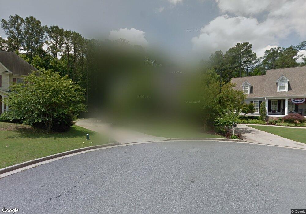
2067 Hollowbrooke Trace NW Acworth, GA 30101
Estimated Value: $683,000 - $793,000
5
Beds
5
Baths
4,316
Sq Ft
$169/Sq Ft
Est. Value
About This Home
This home is located at 2067 Hollowbrooke Trace NW, Acworth, GA 30101 and is currently estimated at $729,692, approximately $169 per square foot. 2067 Hollowbrooke Trace NW is a home located in Cobb County with nearby schools including Pickett's Mill Elementary School, Durham Middle School, and Allatoona High School.
Ownership History
Date
Name
Owned For
Owner Type
Purchase Details
Closed on
Jun 8, 2004
Sold by
Osborn Stephen P
Bought by
Osborn Stephen P and Osborn Alison
Current Estimated Value
Home Financials for this Owner
Home Financials are based on the most recent Mortgage that was taken out on this home.
Original Mortgage
$328,800
Interest Rate
5.98%
Mortgage Type
New Conventional
Purchase Details
Closed on
Nov 17, 2003
Sold by
Willoughby & Sewell Dev Ltd
Bought by
Lance Palmer Construction Inc
Home Financials for this Owner
Home Financials are based on the most recent Mortgage that was taken out on this home.
Original Mortgage
$333,580
Interest Rate
5.93%
Create a Home Valuation Report for This Property
The Home Valuation Report is an in-depth analysis detailing your home's value as well as a comparison with similar homes in the area
Home Values in the Area
Average Home Value in this Area
Purchase History
| Date | Buyer | Sale Price | Title Company |
|---|---|---|---|
| Osborn Stephen P | -- | -- | |
| Osborn Stephen P | $430,500 | -- | |
| Lance Palmer Construction Inc | $66,900 | -- |
Source: Public Records
Mortgage History
| Date | Status | Borrower | Loan Amount |
|---|---|---|---|
| Closed | Osborn Stephen P | $328,800 | |
| Closed | Osborn Stephen P | $58,600 | |
| Previous Owner | Lance Palmer Construction Inc | $333,580 |
Source: Public Records
Tax History Compared to Growth
Tax History
| Year | Tax Paid | Tax Assessment Tax Assessment Total Assessment is a certain percentage of the fair market value that is determined by local assessors to be the total taxable value of land and additions on the property. | Land | Improvement |
|---|---|---|---|---|
| 2024 | $7,203 | $238,892 | $34,000 | $204,892 |
| 2023 | $7,203 | $238,892 | $34,000 | $204,892 |
| 2022 | $5,818 | $191,688 | $34,000 | $157,688 |
| 2021 | $5,818 | $191,688 | $34,000 | $157,688 |
| 2020 | $5,092 | $167,760 | $34,000 | $133,760 |
| 2019 | $5,092 | $167,760 | $34,000 | $133,760 |
| 2018 | $5,092 | $167,760 | $34,000 | $133,760 |
| 2017 | $4,833 | $168,092 | $34,000 | $134,092 |
| 2016 | $4,833 | $168,092 | $34,000 | $134,092 |
| 2015 | $4,363 | $148,104 | $34,200 | $113,904 |
| 2014 | $4,400 | $148,104 | $0 | $0 |
Source: Public Records
Map
Nearby Homes
- 2009 Mclain Rd NW
- 1799 Mclain Rd NW
- 1963 Heatherbrooke Ln NW
- 2045 Mclain Rd NW Unit 2
- 5485 Brookstone Dr NW
- 2297 County Line Rd NW
- 5362 Manor View Dr NW Unit 12
- 5955 Tibor Dr NW
- 5654 Brookstone Dr NW
- The Ashburn Plan at Woodford
- The Rebecca Plan at Woodford
- The Dillard Plan at Woodford
- The Oxford Plan at Woodford
- The Pinehurst Plan at Woodford
- The Trenton Plan at Woodford
- The Vinings Plan at Woodford
- The Bainbridge Plan at Woodford
- The Brooks Plan at Woodford
- The Evans Plan at Woodford
- 5711 Brynwood Cir NW
- 2071 Hollowbrooke Trace NW
- 2063 Hollowbrooke Trace NW
- 2059 Hollowbrooke Trace NW
- 2062 Hollowbrooke Trace NW
- 0 Hollowbrooke Trace NW
- 2055 Hollowbrooke Trace NW
- 2074 Hollowbrooke Trace NW
- 1925 Mclain Rd NW
- 2079 Hollowbrooke Trace NW
- 2054 Hollowbrooke Trace NW
- 2078 Hollowbrooke Trace NW Unit 19
- 2083 Hollowbrooke Trace NW
- 2051 Hollowbrooke Trace NW
- 2050 Hollowbrooke Trace NW
- 5609 Hollowbrooke Ln NW
- 1899 Mclain Rd NW
- 2087 Hollowbrooke Trace NW
- 5605 Hollowbrooke Ln NW
- 5601 Hollowbrooke Ln NW
- 5613 Hollowbrooke Ln NW