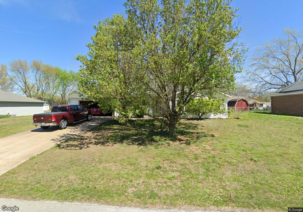
2067 Park Cir Pea Ridge, AR 72751
Estimated Value: $266,786 - $296,000
--
Bed
2
Baths
1,481
Sq Ft
$189/Sq Ft
Est. Value
About This Home
This home is located at 2067 Park Cir, Pea Ridge, AR 72751 and is currently estimated at $279,697, approximately $188 per square foot. 2067 Park Cir is a home located in Benton County with nearby schools including Pea Ridge Primary School, Pea Ridge Intermediate School, and Pea Ridge Junior High School.
Ownership History
Date
Name
Owned For
Owner Type
Purchase Details
Closed on
Dec 1, 2004
Bought by
Dingman
Current Estimated Value
Purchase Details
Closed on
Nov 30, 2004
Bought by
Dingman
Purchase Details
Closed on
Jun 19, 1997
Bought by
Clark Tr
Purchase Details
Closed on
May 9, 1994
Bought by
Martindale
Purchase Details
Closed on
Dec 23, 1993
Bought by
Buckman Const
Purchase Details
Closed on
Nov 30, 1993
Bought by
Buckman
Purchase Details
Closed on
Mar 19, 1993
Bought by
Nesselhauf Rev Trust
Purchase Details
Closed on
Feb 24, 1993
Bought by
Nesselhauf Tr
Purchase Details
Closed on
Oct 9, 1985
Bought by
Clark Tr
Create a Home Valuation Report for This Property
The Home Valuation Report is an in-depth analysis detailing your home's value as well as a comparison with similar homes in the area
Home Values in the Area
Average Home Value in this Area
Purchase History
| Date | Buyer | Sale Price | Title Company |
|---|---|---|---|
| Dingman | $105,000 | -- | |
| Dingman | $105,000 | -- | |
| Clark Tr | -- | -- | |
| Martindale | $69,000 | -- | |
| Buckman Const | -- | -- | |
| Buckman | $7,000 | -- | |
| Nesselhauf Rev Trust | -- | -- | |
| Nesselhauf Tr | -- | -- | |
| Clark Tr | -- | -- |
Source: Public Records
Tax History Compared to Growth
Tax History
| Year | Tax Paid | Tax Assessment Tax Assessment Total Assessment is a certain percentage of the fair market value that is determined by local assessors to be the total taxable value of land and additions on the property. | Land | Improvement |
|---|---|---|---|---|
| 2025 | $1,084 | $42,413 | $6,400 | $36,013 |
| 2024 | $1,112 | $42,413 | $6,400 | $36,013 |
| 2023 | $1,112 | $27,990 | $5,600 | $22,390 |
| 2022 | $786 | $27,990 | $5,600 | $22,390 |
| 2021 | $776 | $27,990 | $5,600 | $22,390 |
| 2020 | $814 | $19,550 | $2,800 | $16,750 |
| 2019 | $814 | $19,550 | $2,800 | $16,750 |
| 2018 | $839 | $19,550 | $2,800 | $16,750 |
| 2017 | $762 | $19,550 | $2,800 | $16,750 |
| 2016 | $762 | $19,550 | $2,800 | $16,750 |
| 2015 | $1,160 | $20,380 | $3,000 | $17,380 |
| 2014 | $810 | $20,380 | $3,000 | $17,380 |
Source: Public Records
Map
Nearby Homes
- 1821 Woodhause Cir
- 446 W Pickens Rd
- 2288 Hayden Rd
- 1703 Cuppett Cir
- 1701 Cuppett Cir
- 1717 Cuppett Cir
- 1715 Cuppett Cir
- 1307 Joyce St
- 1305 Joyce St
- 2320 Barnes Cir
- 1600 Christman St
- 725 Todd Cir
- 2112 Decker Rd
- 901 Carlock Dr
- 2105 Crandall Rd
- 2109 Crandall Rd
- 2200 Bergman Rd
- 1285 Weston St
- 1901 Bergman Rd
- 15658 Easterling Rd