2067 Pheasant Hill Rd Lansdale, PA 19446
Estimated Value: $590,000 - $627,000
4
Beds
3
Baths
2,388
Sq Ft
$252/Sq Ft
Est. Value
About This Home
This home is located at 2067 Pheasant Hill Rd, Lansdale, PA 19446 and is currently estimated at $601,487, approximately $251 per square foot. 2067 Pheasant Hill Rd is a home located in Montgomery County with nearby schools including General Nash El School, Pennfield Middle School, and North Penn Senior High School.
Ownership History
Date
Name
Owned For
Owner Type
Purchase Details
Closed on
Jun 9, 2010
Sold by
Wolf Dagmar W
Bought by
Hogg Kathryn Ellen and Hogg Andrew Douglas
Current Estimated Value
Home Financials for this Owner
Home Financials are based on the most recent Mortgage that was taken out on this home.
Original Mortgage
$308,841
Outstanding Balance
$207,088
Interest Rate
4.98%
Estimated Equity
$394,399
Create a Home Valuation Report for This Property
The Home Valuation Report is an in-depth analysis detailing your home's value as well as a comparison with similar homes in the area
Home Values in the Area
Average Home Value in this Area
Purchase History
| Date | Buyer | Sale Price | Title Company |
|---|---|---|---|
| Hogg Kathryn Ellen | $313,000 | None Available |
Source: Public Records
Mortgage History
| Date | Status | Borrower | Loan Amount |
|---|---|---|---|
| Open | Hogg Kathryn Ellen | $308,841 |
Source: Public Records
Tax History Compared to Growth
Tax History
| Year | Tax Paid | Tax Assessment Tax Assessment Total Assessment is a certain percentage of the fair market value that is determined by local assessors to be the total taxable value of land and additions on the property. | Land | Improvement |
|---|---|---|---|---|
| 2025 | $6,777 | $167,320 | $54,860 | $112,460 |
| 2024 | $6,777 | $167,320 | $54,860 | $112,460 |
| 2023 | $6,490 | $167,320 | $54,860 | $112,460 |
| 2022 | $6,092 | $167,320 | $54,860 | $112,460 |
| 2021 | $5,915 | $167,320 | $54,860 | $112,460 |
| 2020 | $5,648 | $167,320 | $54,860 | $112,460 |
| 2019 | $5,549 | $167,320 | $54,860 | $112,460 |
| 2018 | $1,110 | $167,320 | $54,860 | $112,460 |
| 2017 | $5,328 | $167,320 | $54,860 | $112,460 |
| 2016 | $5,263 | $167,320 | $54,860 | $112,460 |
| 2015 | $5,043 | $167,320 | $54,860 | $112,460 |
| 2014 | $5,043 | $167,320 | $54,860 | $112,460 |
Source: Public Records
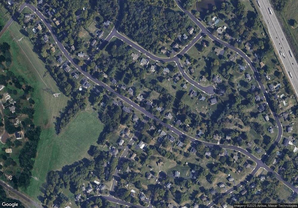
Map
Nearby Homes
- 1808 Beth Ln
- 1653 Bridle Path Dr
- 1040 Hunter Hill Dr
- 172 Oberlin Terrace
- 109 Durham Ct
- 103 Newport Ct
- 111 Newport Ct
- 1381 Village Way
- 144 Oberlin Terrace Unit 15-B
- 2234 Locust Dr
- 177 Oberlin Terrace Unit 18-L
- 210 Berwick Place Unit 20E
- 578 Harrington Ct
- 2272 Locust Dr
- 108 Hickory Ct
- 1627 Clearbrook Rd
- 980 Jacks Ln
- 102 Ridgewood Way
- 911 Tricorn Dr
- 907A Stockton Ct
- 2069 Pheasant Hill Rd
- 2065 Pheasant Hill Rd
- 2075 Pheasant Hill Rd
- 2063 Pheasant Hill Rd
- 1800 Theresa Way
- 1804 Beth Ln
- 1902 Deerfield Dr
- 1905 Deerfield Dr
- 2066 Pheasant Hill Rd
- 1802 Beth Ln
- 2081 Pheasant Hill Rd
- 2057 Pheasant Hill Rd
- 1806 Beth Ln
- 2054 Pheasant Hill Rd
- 1804 Theresa Way
- 2072 Pheasant Hill Rd
- 1910 Deerfield Dr
- 2087 Pheasant Hill Rd
- 2051 Pheasant Hill Rd
- 2048 Pheasant Hill Rd