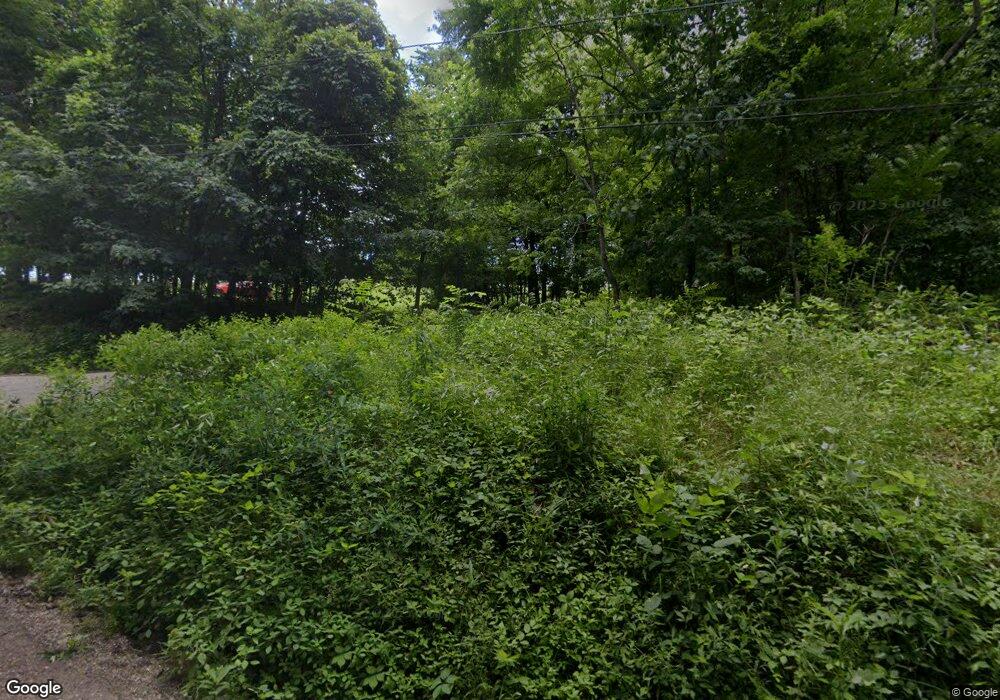
2067 Royal Rd SW Unit 29 Carrollton, OH 44615
Estimated Value: $219,000 - $321,000
3
Beds
2
Baths
1,700
Sq Ft
$156/Sq Ft
Est. Value
About This Home
This home is located at 2067 Royal Rd SW Unit 29, Carrollton, OH 44615 and is currently estimated at $265,258, approximately $156 per square foot. 2067 Royal Rd SW Unit 29 is a home located in Carroll County with nearby schools including Carrollton High School.
Ownership History
Date
Name
Owned For
Owner Type
Purchase Details
Closed on
Nov 21, 2022
Sold by
Hochstetler Matthew D
Bought by
Tinlin William Joseph
Current Estimated Value
Home Financials for this Owner
Home Financials are based on the most recent Mortgage that was taken out on this home.
Original Mortgage
$189,150
Outstanding Balance
$183,274
Interest Rate
6.94%
Mortgage Type
New Conventional
Estimated Equity
$81,984
Create a Home Valuation Report for This Property
The Home Valuation Report is an in-depth analysis detailing your home's value as well as a comparison with similar homes in the area
Home Values in the Area
Average Home Value in this Area
Purchase History
| Date | Buyer | Sale Price | Title Company |
|---|---|---|---|
| Tinlin William Joseph | $195,000 | -- |
Source: Public Records
Mortgage History
| Date | Status | Borrower | Loan Amount |
|---|---|---|---|
| Open | Tinlin William Joseph | $189,150 |
Source: Public Records
Tax History Compared to Growth
Tax History
| Year | Tax Paid | Tax Assessment Tax Assessment Total Assessment is a certain percentage of the fair market value that is determined by local assessors to be the total taxable value of land and additions on the property. | Land | Improvement |
|---|---|---|---|---|
| 2024 | $1,025 | $29,870 | $5,640 | $24,230 |
| 2023 | $1,018 | $29,870 | $5,640 | $24,230 |
| 2022 | $988 | $29,870 | $5,640 | $24,230 |
| 2021 | $1,010 | $29,870 | $5,640 | $24,230 |
| 2020 | $958 | $29,870 | $5,640 | $24,230 |
| 2019 | $966 | $29,869 | $5,635 | $24,234 |
| 2018 | $810 | $24,250 | $6,780 | $17,470 |
| 2017 | $811 | $24,250 | $6,780 | $17,470 |
| 2016 | $804 | $22,040 | $6,160 | $15,880 |
| 2015 | $742 | $22,040 | $6,160 | $15,880 |
| 2014 | $742 | $22,040 | $6,160 | $15,880 |
| 2013 | $714 | $21,700 | $6,160 | $15,540 |
Source: Public Records
Map
Nearby Homes
- 10 S Ohio St
- 17 West St
- 2245 Scroll Rd SW Unit 17
- 424 Avalon Rd SW Unit 31
- 144 Arrow Rd SW Unit 19
- 2081 Antigua Rd SW Unit 17
- 1186 Lincoln St SW
- 6170 Paradise Dr SW
- 278 Bark Rd SW Unit 1A
- 1100 Fawn Rd SW Unit 12A
- 1121 Fiesta Rd SW Unit 12B
- 2227 Elk Rd SW Unit 14A
- 1121 Center St SW
- 2319 Camille Rd SW Unit 17
- 1201 Whispering Pines Ln SW Unit 12
- 6090 Revere Rd SW
- 819 Courtview Dr SW Unit 81
- 4414 Cumberland Rd SW Unit 9
- 0 Magnolia Rd Unit 5164979
- 8885 Locust St SW Unit 16J
- 2067 Royal Rd SW Unit 29
- 2063 Royal Rd SW
- 2067 Royal Rd SW
- 2140 Royal Rd SW
- 2095 Royal Rd SW
- 2081 Cactus Rd SW Unit 29
- 2120 Cactus Rd SW Unit 29
- 2100 Cactus Rd SW Unit 29
- 2076 Royal Rd SW
- 2100 Royal Rd SW Unit 29
- 2061 Cactus Rd SW Unit 29
- 2070 Royal Rd SW
- 2094 Cactus Rd SW Unit 29
- 2060 Cactus Rd SW Unit 29
- 4098 Roswell Rd SW Unit 30C
- 0 Royal Rd SW
- 0 Royal Rd SW
- 4024 Roswell Rd SW
- 4010 Roswell Rd SW Unit 30C
- 4056 Roswell Rd SW
