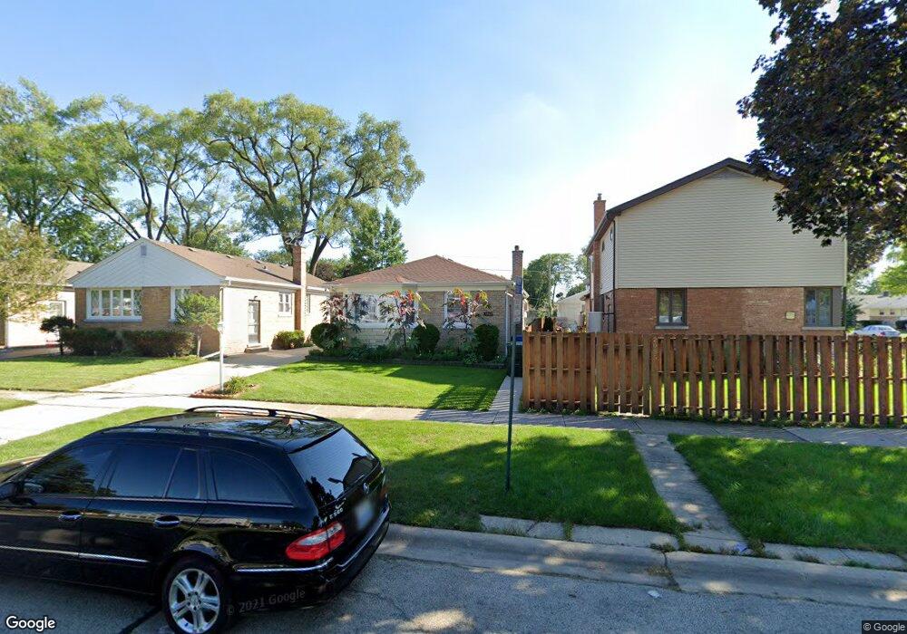
2067 Sherwin Ave Des Plaines, IL 60018
Estimated Value: $355,000 - $431,000
3
Beds
1
Bath
1,271
Sq Ft
$299/Sq Ft
Est. Value
About This Home
This home is located at 2067 Sherwin Ave, Des Plaines, IL 60018 and is currently estimated at $380,048, approximately $299 per square foot. 2067 Sherwin Ave is a home located in Cook County with nearby schools including South Elementary School, Algonquin Middle School, and Maine West High School.
Ownership History
Date
Name
Owned For
Owner Type
Purchase Details
Closed on
Apr 30, 2013
Sold by
Zagraba Robert and Zagraba Maria
Bought by
Zagraba Maria
Current Estimated Value
Purchase Details
Closed on
Aug 1, 1994
Sold by
Macmillan James S and Macmillan Sandra L
Bought by
Zagraba Robert and Zagraba Maria
Home Financials for this Owner
Home Financials are based on the most recent Mortgage that was taken out on this home.
Original Mortgage
$111,500
Interest Rate
6.5%
Create a Home Valuation Report for This Property
The Home Valuation Report is an in-depth analysis detailing your home's value as well as a comparison with similar homes in the area
Home Values in the Area
Average Home Value in this Area
Purchase History
| Date | Buyer | Sale Price | Title Company |
|---|---|---|---|
| Zagraba Maria | -- | None Available | |
| Zagraba Robert | $124,000 | Attorneys Natl Title Network |
Source: Public Records
Mortgage History
| Date | Status | Borrower | Loan Amount |
|---|---|---|---|
| Closed | Zagraba Robert | $111,500 |
Source: Public Records
Tax History Compared to Growth
Tax History
| Year | Tax Paid | Tax Assessment Tax Assessment Total Assessment is a certain percentage of the fair market value that is determined by local assessors to be the total taxable value of land and additions on the property. | Land | Improvement |
|---|---|---|---|---|
| 2024 | $6,245 | $27,000 | $3,960 | $23,040 |
| 2023 | $6,067 | $27,000 | $3,960 | $23,040 |
| 2022 | $6,067 | $27,000 | $3,960 | $23,040 |
| 2021 | $6,174 | $23,417 | $3,300 | $20,117 |
| 2020 | $6,139 | $23,417 | $3,300 | $20,117 |
| 2019 | $6,158 | $26,312 | $3,300 | $23,012 |
| 2018 | $4,593 | $18,792 | $2,904 | $15,888 |
| 2017 | $5,534 | $22,214 | $2,904 | $19,310 |
| 2016 | $5,479 | $22,214 | $2,904 | $19,310 |
| 2015 | $4,188 | $16,476 | $2,508 | $13,968 |
| 2014 | $4,993 | $19,440 | $2,508 | $16,932 |
| 2013 | $4,851 | $19,440 | $2,508 | $16,932 |
Source: Public Records
Map
Nearby Homes
- 38 E Touhy Ave
- 1966 Laura Ln
- 2126 David Dr
- 1706 Buckingham Dr
- 2500 Maple St
- 2609 Eisenhower Dr
- 1641 E Touhy Ave
- 1629 E Touhy Ave
- 2646 Maple St
- 22 Park Ln Unit 203
- 44 Park Ln Unit 435
- 1928 Kennicott Ct
- 1757 Farwell Ave
- 300 Boardwalk Place Unit T300
- 1640 S River Rd
- 1721 Linden St
- 200 Thames Pkwy Unit 1
- 201 Thames Pkwy Unit 2F
- 500 Thames Pkwy Unit 1F
- 60 S Dee Rd Unit G
- 2073 Sherwin Ave
- 2055 Sherwin Ave
- 2079 Sherwin Ave
- 2283 Magnolia St
- 2087 Sherwin Ave
- 2074 Chase Ave
- 2080 Chase Ave
- 2295 Magnolia St
- 2090 Chase Ave
- 2062 Sherwin Ave
- 2058 Sherwin Ave
- 2076 Sherwin Ave
- 2260 Magnolia St
- 2272 Magnolia St
- 2254 Magnolia St
- 2080 Sherwin Ave
- 2280 Magnolia St
- 2097 Sherwin Ave
- 2094 Chase Ave
- 2248 Magnolia St