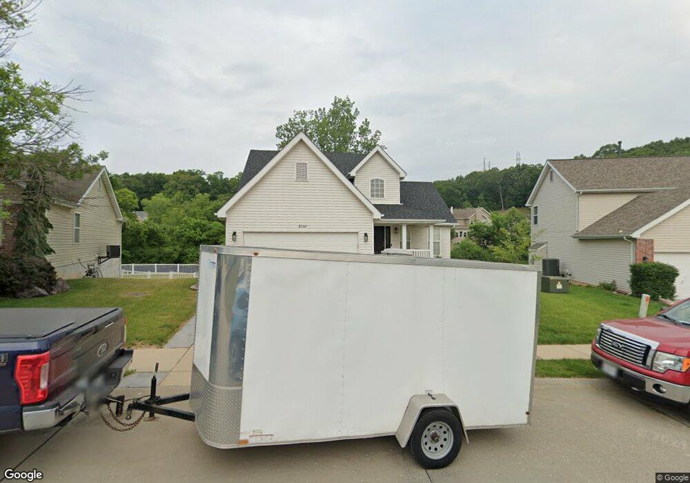
2067 Shetland Path High Ridge, MO 63049
Estimated Value: $308,749 - $386,000
Studio
1
Bath
1,120
Sq Ft
$311/Sq Ft
Est. Value
About This Home
This home is located at 2067 Shetland Path, High Ridge, MO 63049 and is currently estimated at $348,437, approximately $311 per square foot. 2067 Shetland Path is a home with nearby schools including Northwest High School and St. Anthony School.
Ownership History
Date
Name
Owned For
Owner Type
Purchase Details
Closed on
Aug 17, 2007
Sold by
Mcbride & Son Homes Inc
Bought by
Thacker Matthew
Current Estimated Value
Home Financials for this Owner
Home Financials are based on the most recent Mortgage that was taken out on this home.
Original Mortgage
$175,600
Outstanding Balance
$111,352
Interest Rate
6.69%
Mortgage Type
Purchase Money Mortgage
Estimated Equity
$237,085
Create a Home Valuation Report for This Property
The Home Valuation Report is an in-depth analysis detailing your home's value as well as a comparison with similar homes in the area
Home Values in the Area
Average Home Value in this Area
Purchase History
| Date | Buyer | Sale Price | Title Company |
|---|---|---|---|
| Thacker Matthew | -- | Security Title Co |
Source: Public Records
Mortgage History
| Date | Status | Borrower | Loan Amount |
|---|---|---|---|
| Open | Thacker Matthew | $175,600 |
Source: Public Records
Tax History
| Year | Tax Paid | Tax Assessment Tax Assessment Total Assessment is a certain percentage of the fair market value that is determined by local assessors to be the total taxable value of land and additions on the property. | Land | Improvement |
|---|---|---|---|---|
| 2025 | $3,625 | $54,600 | $7,700 | $46,900 |
| 2024 | $3,625 | $50,200 | $7,700 | $42,500 |
| 2023 | $3,625 | $50,200 | $7,700 | $42,500 |
| 2022 | $3,421 | $47,600 | $5,900 | $41,700 |
| 2021 | $3,400 | $47,600 | $5,900 | $41,700 |
| 2020 | $3,073 | $42,000 | $5,100 | $36,900 |
| 2019 | $3,070 | $42,000 | $5,100 | $36,900 |
| 2018 | $3,111 | $42,000 | $5,100 | $36,900 |
| 2017 | $2,842 | $42,000 | $5,100 | $36,900 |
| 2016 | $2,683 | $39,300 | $5,200 | $34,100 |
| 2015 | $2,756 | $39,300 | $5,200 | $34,100 |
| 2013 | -- | $38,200 | $5,200 | $33,000 |
Source: Public Records
Map
Nearby Homes
- 0 Mikel Ln
- 1635 Rockfern Dr
- 1616 Creightonwood Ct
- 2108 Hillsboro Valley Park Rd
- 1599 Paradise Valley Dr
- 1636 S Golden Cir
- 1641 S Golden Cir
- 4824 E Golden Cir
- 2135 Linnus Dr
- 2149 Linnus Dr
- 18 Hawk Ct
- 2200 Dillon Rd
- 4671 Chinkapin Ln
- 1516 Cassie Ct
- 151 Brandy Mill Cir Unit F
- 147 Brandy Mill Cir Unit B
- 1705 Little Brennan Rd
- 1570 Heritage Valley Dr
- 2060 Hillsboro Valley Park Rd
- 0 3 Lot Blk 2 High Ridge Manor Unit MAR24044893
- 2063 Shetland Path Lot #282
- 2071 Shetland Path
- 2066 Shetland Path
- 2059 Shetland Path
- 2075 Shetland Path
- 2060 Shetland Path
- 2074 Shetland Path
- 2074 Shetland Path Lot #322
- 2055 Shetland Path
- 2083 Shetland Path
- 2056 Shetland Path
- 2080Lot #272 Appaloosa Trail
- 2080 Appaloosa Trail
- 2080 Appaloosa Trail
- 2078 Shetland Path Lot #323
- 2051 Shetland Path
- 2076 Appaloosa Trail
- 2082 Shetland Path
- 2052 Shetland Path
- 5204 Harter Farms Manor
Your Personal Tour Guide
Ask me questions while you tour the home.