2067 Soapstone Mountain Rd Staley, NC 27355
Estimated Value: $260,397 - $281,000
3
Beds
2
Baths
1,288
Sq Ft
$212/Sq Ft
Est. Value
About This Home
This home is located at 2067 Soapstone Mountain Rd, Staley, NC 27355 and is currently estimated at $273,099, approximately $212 per square foot. 2067 Soapstone Mountain Rd is a home located in Randolph County with nearby schools including Liberty Elementary School, Southeastern Randolph Middle School, and Eastern Randolph High School.
Ownership History
Date
Name
Owned For
Owner Type
Purchase Details
Closed on
Apr 9, 2010
Sold by
Carver Kimberlee K
Bought by
Martin Christopher Dale
Current Estimated Value
Home Financials for this Owner
Home Financials are based on the most recent Mortgage that was taken out on this home.
Original Mortgage
$94,183
Outstanding Balance
$62,298
Interest Rate
4.94%
Mortgage Type
New Conventional
Estimated Equity
$210,801
Create a Home Valuation Report for This Property
The Home Valuation Report is an in-depth analysis detailing your home's value as well as a comparison with similar homes in the area
Home Values in the Area
Average Home Value in this Area
Purchase History
| Date | Buyer | Sale Price | Title Company |
|---|---|---|---|
| Martin Christopher Dale | $92,500 | None Available | |
| Carver Kimberlee K | -- | None Available |
Source: Public Records
Mortgage History
| Date | Status | Borrower | Loan Amount |
|---|---|---|---|
| Open | Carver Kimberlee K | $94,183 | |
| Closed | Martin Christopher Dale | $94,183 |
Source: Public Records
Tax History
| Year | Tax Paid | Tax Assessment Tax Assessment Total Assessment is a certain percentage of the fair market value that is determined by local assessors to be the total taxable value of land and additions on the property. | Land | Improvement |
|---|---|---|---|---|
| 2025 | $1,039 | $171,990 | $36,790 | $135,200 |
| 2024 | $1,040 | $171,990 | $36,790 | $135,200 |
| 2023 | $1,040 | $171,990 | $36,790 | $135,200 |
| 2022 | $840 | $113,460 | $16,640 | $96,820 |
| 2021 | $840 | $113,460 | $16,640 | $96,820 |
| 2020 | $840 | $113,460 | $16,640 | $96,820 |
| 2019 | $839 | $113,460 | $16,640 | $96,820 |
| 2018 | $801 | $105,540 | $16,640 | $88,900 |
| 2016 | $798 | $105,542 | $16,640 | $88,902 |
| 2015 | $800 | $105,542 | $16,640 | $88,902 |
| 2014 | $800 | $105,542 | $16,640 | $88,902 |
Source: Public Records
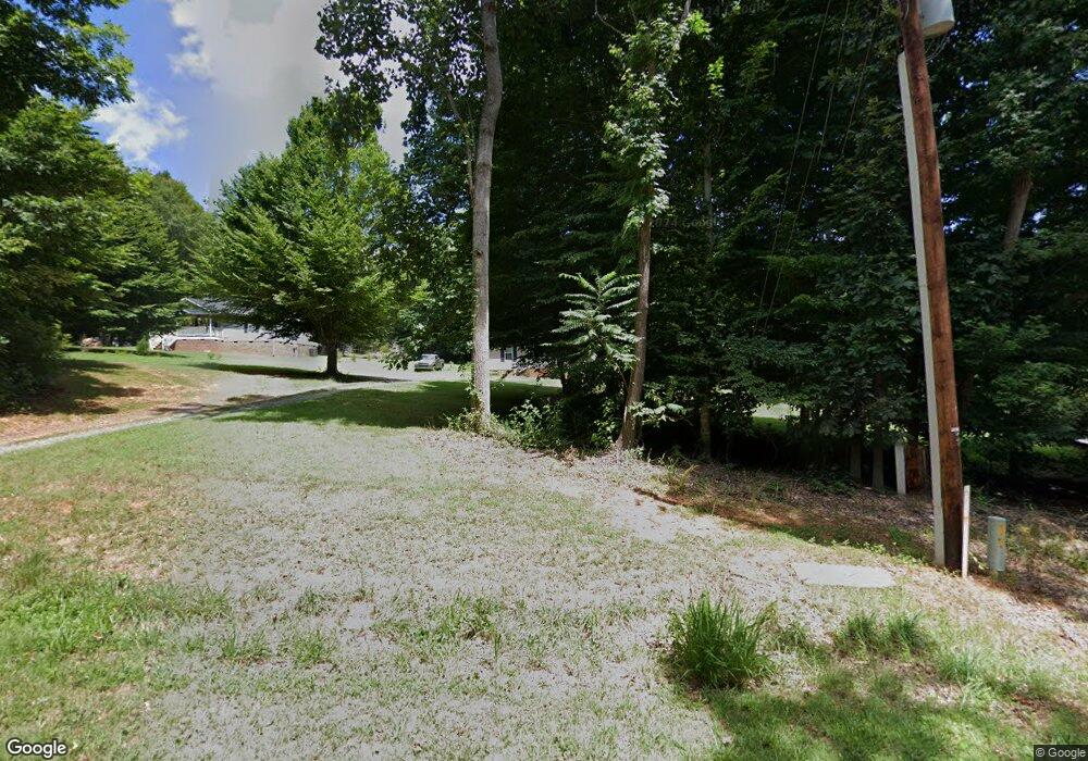
Map
Nearby Homes
- TBD1 Smith Adkins Rd
- 6450 Whites Chapel Rd
- 3318 Nc Highway 49 N
- 1324 Seays Rd
- 3001 Headen Country Trail
- 0 Willard Rd
- 2303 Clacie Ln
- 2385 Clacie Ln
- 5568 Nc Highway 49 N
- 2485 Low Bridge Rd
- 4077 Ramseur Julian Rd
- 0 Browns Crossroads Rd
- 8521 Us Highway 64 E
- 200 S Murphy St
- 4183 Flinchum Farm Rd
- 107 Murphy St
- 132 W Kime Ave
- 416 S Fayetteville St
- 1674 Ridgewood Rd
- 318 S Fayetteville St
- 2067 N Soapstone Mnt Rd
- 2081 Soapstone Mountain Rd
- 2055 Soapstone Mountain Rd
- 2039 Soapstone Mountain Rd
- 2107 Soapstone Mountain Rd
- 2050 Soapstone Mountain Rd
- 2123 Soapstone Mountain Rd
- 2015 Soapstone Mountain Rd
- 2135 Soapstone Mountain Rd
- 2126 Soapstone Mountain Rd
- 2116 Soapstone Mountain Rd
- 2141 Soapstone Mountain Rd
- 2138 Soapstone Mountain Rd
- 2151 Soapstone Mountain Rd
- 2148 Soapstone Mountain Rd
- 2007 Soapstone Mountain Rd
- 2169 Soapstone Mountain Rd
- 2033 Soapstone Mountain Rd
- 2153 Soapstone Mountain Rd
- 2164 Soapstone Mountain Rd
Your Personal Tour Guide
Ask me questions while you tour the home.