Estimated Value: $338,000 - $601,000
--
Bed
--
Bath
--
Sq Ft
4,095
Sq Ft Lot
About This Home
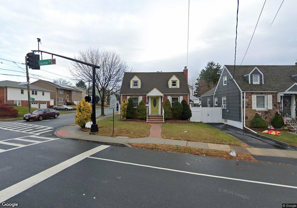
This home is located at 2067 Vauxhall Rd, Union, NJ 07083 and is currently estimated at $475,501. 2067 Vauxhall Rd is a home located in Union County with nearby schools including Connecticut Farms Elementary School, Union High School, and St Michael Parish School.
Ownership History
Date
Name
Owned For
Owner Type
Purchase Details
Closed on
Dec 1, 2006
Sold by
Executrix Andrea Williams
Bought by
Torres Pedro E
Current Estimated Value
Home Financials for this Owner
Home Financials are based on the most recent Mortgage that was taken out on this home.
Original Mortgage
$45,750
Outstanding Balance
$32,000
Interest Rate
9.63%
Mortgage Type
Purchase Money Mortgage
Estimated Equity
$443,501
Purchase Details
Closed on
May 2, 2001
Sold by
Araujo William and Araujo Iris
Bought by
Harvilla Joan M
Home Financials for this Owner
Home Financials are based on the most recent Mortgage that was taken out on this home.
Original Mortgage
$143,000
Interest Rate
6.85%
Purchase Details
Closed on
Feb 19, 1999
Sold by
Weber Alfred and Weber Ruth
Bought by
Araujo William
Home Financials for this Owner
Home Financials are based on the most recent Mortgage that was taken out on this home.
Original Mortgage
$120,143
Interest Rate
6.75%
Mortgage Type
FHA
Create a Home Valuation Report for This Property
The Home Valuation Report is an in-depth analysis detailing your home's value as well as a comparison with similar homes in the area
Home Values in the Area
Average Home Value in this Area
Purchase History
| Date | Buyer | Sale Price | Title Company |
|---|---|---|---|
| Torres Pedro E | $305,000 | -- | |
| Harvilla Joan M | $179,900 | -- | |
| Araujo William | $122,000 | -- |
Source: Public Records
Mortgage History
| Date | Status | Borrower | Loan Amount |
|---|---|---|---|
| Open | Torres Pedro E | $45,750 | |
| Previous Owner | Harvilla Joan M | $143,000 | |
| Previous Owner | Araujo William | $120,143 |
Source: Public Records
Tax History Compared to Growth
Tax History
| Year | Tax Paid | Tax Assessment Tax Assessment Total Assessment is a certain percentage of the fair market value that is determined by local assessors to be the total taxable value of land and additions on the property. | Land | Improvement |
|---|---|---|---|---|
| 2025 | $8,046 | $36,000 | $14,800 | $21,200 |
| 2024 | $7,801 | $36,000 | $14,800 | $21,200 |
| 2023 | $7,801 | $36,000 | $14,800 | $21,200 |
| 2022 | $7,530 | $36,000 | $14,800 | $21,200 |
| 2021 | $7,347 | $36,000 | $14,800 | $21,200 |
| 2020 | $7,201 | $36,000 | $14,800 | $21,200 |
| 2019 | $7,104 | $36,000 | $14,800 | $21,200 |
| 2018 | $6,983 | $36,000 | $14,800 | $21,200 |
| 2017 | $6,880 | $36,000 | $14,800 | $21,200 |
| 2016 | $6,712 | $36,000 | $14,800 | $21,200 |
| 2015 | $6,601 | $36,000 | $14,800 | $21,200 |
| 2014 | $6,453 | $36,000 | $14,800 | $21,200 |
Source: Public Records
Map
Nearby Homes
- 1084 Pine Ave
- 1249 Plane St
- 1035 Pine Ave
- 1231 Glenn Ave
- 2112 Gless Ave
- 2010 Gless Ave
- 7 Jessica Ln
- 1244 Grandview Ave
- 2159 Berwyn St
- 1265 Shetland Dr
- 2144 Tyler St
- 1120 Weber St
- 1010 Falls Terrace
- 2217 Vauxhall Rd
- 1263 Coolidge Ave
- 2021 Tyler St
- 987 Floyd Terrace
- 1239 Victor Ave
- 2253 Vauxhall Rd
- 1893 Arbor Ln
- 2065 Vauxhall Rd
- 777 Barbara Ave
- 2061 Vauxhall Rd
- 1209 Barbara Ave
- 2075 Vauxhall Rd
- 1213 Barbara Ave
- 2057 Vauxhall Rd
- 1206 Barbara Ave
- 1215 Barbara Ave
- 2053 Vauxhall Rd
- 1210 Plane St
- 1212 Plane St
- 1217 Barbara Ave
- 1214 Plane St
- 2081 Vauxhall Rd
- 2049 Vauxhall Rd
- 2049 Vauxhall Rd Unit A
- 1221 Barbara Ave
- 1218 Plane St
- 1088 Cedar Ave