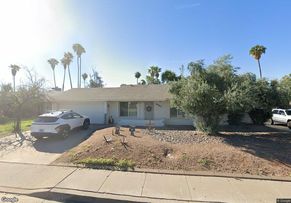
2067 W Des Moines Cir Mesa, AZ 85201
Riverview NeighborhoodEstimated Value: $344,287 - $447,000
--
Bed
2
Baths
1,492
Sq Ft
$270/Sq Ft
Est. Value
About This Home
This home is located at 2067 W Des Moines Cir, Mesa, AZ 85201 and is currently estimated at $403,572, approximately $270 per square foot. 2067 W Des Moines Cir is a home located in Maricopa County with nearby schools including Curry Elementary School, Connolly Middle School, and McClintock High School.
Ownership History
Date
Name
Owned For
Owner Type
Purchase Details
Closed on
Apr 3, 1998
Sold by
Hall Robert C
Bought by
Vail Christina and Barnum Travis
Current Estimated Value
Home Financials for this Owner
Home Financials are based on the most recent Mortgage that was taken out on this home.
Original Mortgage
$100,460
Outstanding Balance
$19,154
Interest Rate
7.15%
Mortgage Type
FHA
Estimated Equity
$384,418
Create a Home Valuation Report for This Property
The Home Valuation Report is an in-depth analysis detailing your home's value as well as a comparison with similar homes in the area
Home Values in the Area
Average Home Value in this Area
Purchase History
| Date | Buyer | Sale Price | Title Company |
|---|---|---|---|
| Vail Christina | $101,000 | Capital Title Agency |
Source: Public Records
Mortgage History
| Date | Status | Borrower | Loan Amount |
|---|---|---|---|
| Open | Vail Christina | $100,460 |
Source: Public Records
Tax History Compared to Growth
Tax History
| Year | Tax Paid | Tax Assessment Tax Assessment Total Assessment is a certain percentage of the fair market value that is determined by local assessors to be the total taxable value of land and additions on the property. | Land | Improvement |
|---|---|---|---|---|
| 2025 | $860 | $9,745 | -- | -- |
| 2024 | $795 | $9,281 | -- | -- |
| 2023 | $795 | $30,160 | $6,030 | $24,130 |
| 2022 | $767 | $22,880 | $4,570 | $18,310 |
| 2021 | $809 | $20,970 | $4,190 | $16,780 |
| 2020 | $780 | $19,650 | $3,930 | $15,720 |
| 2019 | $772 | $15,880 | $3,170 | $12,710 |
| 2018 | $740 | $13,950 | $2,790 | $11,160 |
| 2017 | $719 | $12,970 | $2,590 | $10,380 |
| 2016 | $721 | $11,600 | $2,320 | $9,280 |
| 2015 | $703 | $10,530 | $2,100 | $8,430 |
Source: Public Records
Map
Nearby Homes
- 601 N May Unit 27
- 601 N May Unit 25
- 2130 W Camino St Unit 7
- 633 N May Unit 25
- 451 N San Jose Cir
- 602 N May Unit 65
- 602 N May Unit 49
- 602 N May -- Unit 17
- 602 N May -- Unit 23
- 602 N May Unit 95
- 540 N May Unit 3116
- 540 N May Unit 1109
- 540 N May Unit 1102C
- 534 N Ironwood
- 280 S Evergreen Rd Unit 1296
- 280 S Evergreen Rd Unit 1276
- 280 S Evergreen Rd Unit 1374
- 2727 E University Dr Unit 134
- 2727 E University Dr Unit 78
- 2727 E University Dr Unit 153
- 2061 W Des Moines Cir
- 2066 W Decatur St
- 2055 W Des Moines Cir
- 2060 W Decatur St
- 624 N Santa Barbara Unit 6
- 624 N Santa Barbara Unit 3
- 624 N Santa Barbara Unit 3
- 624 N Santa Barbara Unit 2
- 624 N Santa Barbara Unit 4
- 624 N Santa Barbara Unit 1
- 2068 W Des Moines Cir
- 2058 W Decatur St
- 2062 W Des Moines Cir
- 2049 W Des Moines Cir
- 2056 W Des Moines Cir
- 2050 W Decatur St
- 2050 W Des Moines Cir
- 601 N May Unit 19
- 601 N May Unit 12
- 601 N May Unit 3