2068 Bond Dr Elberton, GA 30635
Estimated Value: $167,000 - $584,096
--
Bed
2
Baths
1,824
Sq Ft
$218/Sq Ft
Est. Value
About This Home
This home is located at 2068 Bond Dr, Elberton, GA 30635 and is currently estimated at $398,032, approximately $218 per square foot. 2068 Bond Dr is a home located in Elbert County with nearby schools including Elbert County Primary School, Elbert County Elementary School, and Elbert County Middle School.
Ownership History
Date
Name
Owned For
Owner Type
Purchase Details
Closed on
Apr 6, 2009
Sold by
Pinnacle Bank
Bought by
Bond Allen and Bond Rebecca B
Current Estimated Value
Purchase Details
Closed on
Jan 9, 2003
Sold by
Armour Eric Kirsten
Bought by
Bond Allen V and Bond Rebecca B
Purchase Details
Closed on
May 23, 2001
Sold by
Hill Julia R
Bought by
Bond Allen V and Bond Rebecca B
Purchase Details
Closed on
Mar 1, 1989
Purchase Details
Closed on
Jul 1, 1988
Purchase Details
Closed on
Nov 1, 1980
Create a Home Valuation Report for This Property
The Home Valuation Report is an in-depth analysis detailing your home's value as well as a comparison with similar homes in the area
Home Values in the Area
Average Home Value in this Area
Purchase History
| Date | Buyer | Sale Price | Title Company |
|---|---|---|---|
| Bond Allen | -- | -- | |
| Bond Allen V | $35,500 | -- | |
| Bond Allen V | $92,000 | -- | |
| -- | $26,200 | -- | |
| -- | $29,900 | -- | |
| -- | -- | -- |
Source: Public Records
Tax History Compared to Growth
Tax History
| Year | Tax Paid | Tax Assessment Tax Assessment Total Assessment is a certain percentage of the fair market value that is determined by local assessors to be the total taxable value of land and additions on the property. | Land | Improvement |
|---|---|---|---|---|
| 2024 | $2,860 | $202,340 | $111,085 | $91,255 |
| 2023 | $1,610 | $199,162 | $111,085 | $88,077 |
| 2022 | $1,995 | $125,177 | $66,481 | $58,696 |
| 2021 | $1,982 | $125,177 | $66,481 | $58,696 |
| 2020 | $2,241 | $125,751 | $66,481 | $59,270 |
| 2019 | $2,311 | $125,751 | $66,481 | $59,270 |
| 2018 | $2,065 | $106,893 | $47,623 | $59,270 |
| 2017 | $2,015 | $92,473 | $39,644 | $52,829 |
| 2016 | $1,871 | $92,473 | $39,644 | $52,829 |
| 2015 | -- | $92,474 | $39,644 | $52,829 |
| 2014 | -- | $92,474 | $39,644 | $52,829 |
Source: Public Records
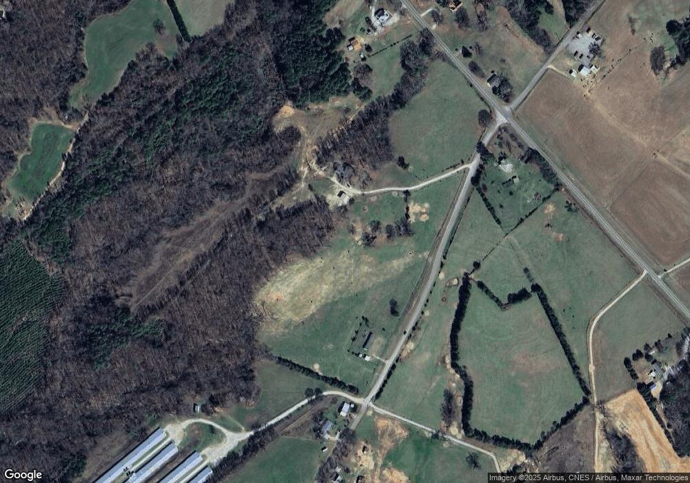
Map
Nearby Homes
- 2187 Turner Hill Rd
- 0 Pickens Point Dr Unit CL337116
- 0 Pickens Point Dr Unit 10588711
- 0 Anderson Hwy Unit 24629664
- 0 Anderson Hwy Unit 10536298
- 0 Pine Ridge Dr Unit LotWP001
- 1051 Bluff Rd
- 2946 Rock Branch Rd
- 0 Gregg Shoals Dr Unit 10497348
- 0 Gregg Shoals Dr Unit CL342115
- 0 Gregg Shoals Dr Unit LotWP001 24031325
- 1071 Sword Dr Unit 64
- 1071 Sword Dr
- 0 Omaha Dr Unit 7591330
- 0 Omaha Dr Unit 10536866
- 39B Omaha Dr
- Lot 26 Omaha Dr
- Lot 26 Omaha Dr Unit 26
- Lot 36 Omaha Dr
- 52B Omaha Dr
- 3440 Ruckersville Rd
- 2069 Bond Dr
- 3419 Ruckersville Rd
- 3433 Ruckersville Rd
- 3456 Ruckersville Rd
- 2012 Bond Dr
- 2113 Gin Branch Rd
- 2133 Turner Hill Rd
- 2005 Bond Dr
- 3469 Ruckersville Rd
- 3386 Ruckersville Rd
- 2146 Turner Hill Rd
- 2089 Gin Branch Rd
- 3371 Ruckersville Rd
- 00000000 Bond Dr
- 000 Bond Dr
- 2159 Turner Hill Rd
- 2159 Turner Hill Rd
- 1961 Bond Dr
- 3338 Ruckersville Rd