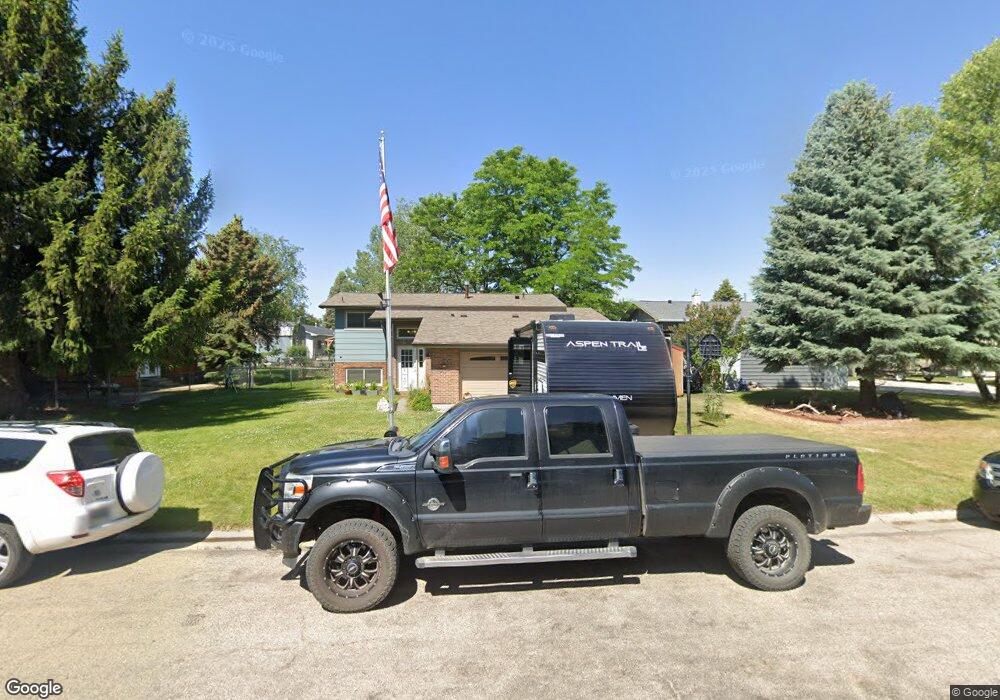
2068 Pima Dr Sheridan, WY 82801
Estimated Value: $402,000 - $468,000
3
Beds
2
Baths
1,021
Sq Ft
$421/Sq Ft
Est. Value
About This Home
This home is located at 2068 Pima Dr, Sheridan, WY 82801 and is currently estimated at $429,955, approximately $421 per square foot. 2068 Pima Dr is a home with nearby schools including Sheridan High School, Holy Name Catholic School, and Reaching Higher.
Ownership History
Date
Name
Owned For
Owner Type
Purchase Details
Closed on
Jun 25, 2013
Sold by
Hankins Rob R and Hankins Amie M
Bought by
Hinton Jeffrey R and Hinton Erin L
Current Estimated Value
Home Financials for this Owner
Home Financials are based on the most recent Mortgage that was taken out on this home.
Original Mortgage
$26,200
Outstanding Balance
$16,456
Interest Rate
3.83%
Mortgage Type
Credit Line Revolving
Estimated Equity
$413,499
Purchase Details
Closed on
Aug 8, 2012
Sold by
Mcginnis James J and Mcginnis Sara A
Bought by
Hankins Rob R and Hankins Amie M
Create a Home Valuation Report for This Property
The Home Valuation Report is an in-depth analysis detailing your home's value as well as a comparison with similar homes in the area
Home Values in the Area
Average Home Value in this Area
Purchase History
| Date | Buyer | Sale Price | Title Company |
|---|---|---|---|
| Hinton Jeffrey R | -- | None Available | |
| Hankins Rob R | -- | None Available |
Source: Public Records
Mortgage History
| Date | Status | Borrower | Loan Amount |
|---|---|---|---|
| Open | Hinton Jeffrey R | $26,200 | |
| Open | Hinton Jeffrey R | $209,600 |
Source: Public Records
Tax History Compared to Growth
Tax History
| Year | Tax Paid | Tax Assessment Tax Assessment Total Assessment is a certain percentage of the fair market value that is determined by local assessors to be the total taxable value of land and additions on the property. | Land | Improvement |
|---|---|---|---|---|
| 2025 | $2,728 | $29,077 | $6,857 | $22,220 |
| 2024 | $2,728 | $38,148 | $8,791 | $29,357 |
| 2023 | $2,645 | $36,995 | $8,154 | $28,841 |
| 2022 | $2,454 | $34,320 | $7,679 | $26,641 |
| 2021 | $1,938 | $27,108 | $6,062 | $21,046 |
| 2020 | $1,843 | $25,775 | $5,122 | $20,653 |
| 2019 | $1,925 | $26,922 | $5,122 | $21,800 |
| 2018 | $1,847 | $25,837 | $5,026 | $20,811 |
| 2017 | $1,827 | $25,551 | $5,026 | $20,525 |
| 2015 | $1,690 | $23,642 | $3,820 | $19,822 |
| 2014 | $1,667 | $23,308 | $3,820 | $19,488 |
| 2013 | -- | $19,971 | $3,820 | $16,151 |
Source: Public Records
Map
Nearby Homes
- 2164 Pima Dr
- 420 Airport Rd Unit 56E
- 520 Airport Rd
- 1805 Zuni Dr
- 2086 Big Horn Ave
- 235 Weeping Birch Ct
- 1705 Martin Ave
- 2413 Juniper Ln
- 2408 Weeping Willow Ct
- 400 Legacy Rd
- 2509 Weeping Willow Ct
- 1500 de Smet Ave Unit 3-B
- 2645 Morrison Ranch Rd
- 2647 Morrison Ranch Rd Unit Lot 12
- 1491 Thomas Dr
- 1435 Warren Ave
- 0 Morrison Ranch Rd
- TBD Big Horn Ave
- 2410 Wetlands Dr
- 402 Phoenix Ave