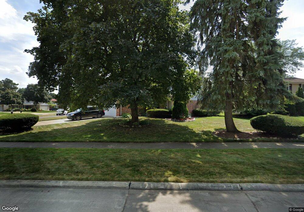
20685 Wayland St Southfield, MI 48076
Estimated Value: $343,919 - $396,000
4
Beds
3
Baths
2,372
Sq Ft
$156/Sq Ft
Est. Value
About This Home
This home is located at 20685 Wayland St, Southfield, MI 48076 and is currently estimated at $369,730, approximately $155 per square foot. 20685 Wayland St is a home located in Oakland County with nearby schools including Alice M. Birney K-8 School, Southfield Christian School, and Farber Hebrew Day School.
Ownership History
Date
Name
Owned For
Owner Type
Purchase Details
Closed on
Jul 12, 2023
Sold by
Mclendon Carleton and Grant-Mclendon Karen Rene
Bought by
Carleton Mclendon Revocable Living Trust and Mclendon
Current Estimated Value
Purchase Details
Closed on
Oct 30, 1998
Sold by
Loggins Ronald
Bought by
Mclendon Carleton
Home Financials for this Owner
Home Financials are based on the most recent Mortgage that was taken out on this home.
Original Mortgage
$162,000
Interest Rate
7.02%
Mortgage Type
Purchase Money Mortgage
Create a Home Valuation Report for This Property
The Home Valuation Report is an in-depth analysis detailing your home's value as well as a comparison with similar homes in the area
Home Values in the Area
Average Home Value in this Area
Purchase History
| Date | Buyer | Sale Price | Title Company |
|---|---|---|---|
| Carleton Mclendon Revocable Living Trust | -- | None Listed On Document | |
| Mclendon Carleton | $178,000 | -- |
Source: Public Records
Mortgage History
| Date | Status | Borrower | Loan Amount |
|---|---|---|---|
| Previous Owner | Mclendon Carleton | $162,000 |
Source: Public Records
Tax History Compared to Growth
Tax History
| Year | Tax Paid | Tax Assessment Tax Assessment Total Assessment is a certain percentage of the fair market value that is determined by local assessors to be the total taxable value of land and additions on the property. | Land | Improvement |
|---|---|---|---|---|
| 2022 | $3,920 | $149,890 | $25,640 | $124,250 |
| 2021 | $4,049 | $127,490 | $26,690 | $100,800 |
| 2020 | $3,524 | $119,820 | $21,350 | $98,470 |
| 2018 | $4,171 | $100,820 | $21,350 | $79,470 |
| 2015 | -- | $74,380 | $0 | $0 |
| 2014 | -- | $65,410 | $0 | $0 |
| 2011 | -- | $61,080 | $0 | $0 |
Source: Public Records
Map
Nearby Homes
- 20780 Wayland St
- 27925 Arlington Dr
- 21140 Winchester St
- 20345 Harbor Ln
- 21330 Winchester St
- 21361 Andover Rd
- 21440 Constitution St
- 20120 Covington Pkwy
- 28450 Tapert Dr
- 27249 Nantucket Dr
- 000 Pontiac Trail
- 20351 Lacrosse Ave
- 27430 Evergreen Rd Unit 36
- 21731 Concord St
- 20141 Lacrosse Ave
- 21901 Concord St
- 28330 Lahser Rd
- 19646 Middlesex Ave
- 19360 W 11 Mile Rd
- 19400 W 11 Mile Rd Unit 12
- 20599 Wayland St
- 20715 Wayland St
- 20585 Wayland St
- 20745 Wayland St
- 20690 Wayland St
- 20660 Wayland St
- 27610 Arlington Ct
- 27580 Arlington Ct
- 20720 Wayland St
- 20600 Wayland St
- 20575 Wayland St
- 20590 Wayland St
- 20640 Wayland St
- 20785 Wayland St
- 20610 Wayland St
- 20750 Wayland St
- 20580 Wayland St
- 27615 Arlington Ct
- 20565 Wayland St
- 20620 Wayland St