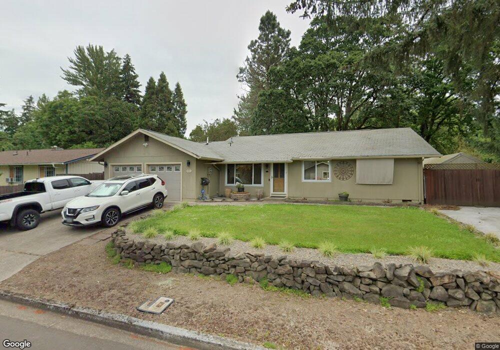
2069 Delta St Eugene, OR 97404
River Road NeighborhoodEstimated Value: $430,000 - $433,000
About This Home
This home is located at 2069 Delta St, Eugene, OR 97404 and is currently estimated at $431,030, approximately $288 per square foot. 2069 Delta St is a home located in Lane County with nearby schools including Irving Elementary School, Shasta Middle School, and Willamette High School.
Ownership History
We collect this data history from publicly available records. To have your information removed, we recommend requesting removal directly through your county’s website.
Purchase Details
Home Financials for this Owner
Home Financials are based on the most recent Mortgage that was taken out on this home.Purchase Details
Home Financials for this Owner
Home Financials are based on the most recent Mortgage that was taken out on this home.Home Values in the Area
Average Home Value in this Area
Purchase History
We collect this data history from publicly available records. To have your information removed, we recommend requesting removal directly through your county’s website.
| Date | Buyer | Sale Price | Title Company |
|---|---|---|---|
| -- | First American Title | ||
| $238,500 | Western Title |
Mortgage History
We collect this data history from publicly available records. To have your information removed, we recommend requesting removal directly through your county’s website.
| Date | Status | Borrower | Loan Amount |
|---|---|---|---|
| Open | $139,500 | ||
| Previous Owner | $190,800 |
Tax History
We collect this data history from publicly available records. To have your information removed, we recommend requesting removal directly through your county’s website.
| Year | Tax Paid | Tax Assessment Tax Assessment Total Assessment is a certain percentage of the fair market value that is determined by local assessors to be the total taxable value of land and additions on the property. | Land | Improvement |
|---|---|---|---|---|
| 2025 | $3,180 | $216,204 | ||
| 2024 | $3,099 | $209,907 | ||
| 2023 | $3,099 | $203,794 | $0 | $0 |
| 2022 | $2,894 | $197,859 | $0 | $0 |
| 2021 | $2,823 | $192,097 | $0 | $0 |
| 2020 | $2,734 | $186,502 | $0 | $0 |
| 2019 | $2,589 | $181,070 | $0 | $0 |
| 2018 | $2,506 | $170,677 | $0 | $0 |
| 2017 | $2,418 | $170,677 | $0 | $0 |
| 2016 | $2,349 | $165,706 | $0 | $0 |
| 2015 | $2,318 | $160,880 | $0 | $0 |
| 2014 | $2,339 | $156,194 | $0 | $0 |
Map
- 1140 Molly Ln
- 1995 Smithoak St
- 1301 Bramblewood Ln
- 2155 Berwin Ln
- 175 Bushnell Ln
- 1764 Allea Dr
- 1755 Alderwood St
- 1805 Hemlock St
- 2490 Blue Boy Ln
- 2501 Stratford St
- 2093 Grove St
- 907 Howard Ave
- 1771 Linwood St
- 903 Howard Ave
- 903 Howard Ave
- 963 Pennington Ct
- 352 Ruby Ave
- 2552 Crowther Dr
- 1720 Grove St
- 1215 Irving Rd
- 2083 Delta St
- 2055 Delta St
- 2074 Delta St
- 495 Bushnell Ln
- 2060 Delta St
- 2097 Delta St
- 2088 Delta St
- 527 Bushnell Ln
- 520 Bushnell Ln
- 2115 Delta St
- 1983 Debra Sue Ct
- 510 Bushnell Ln
- 2102 Delta St
- 0 Debra Sue Ct
- 2070 Labona Dr
- 2084 Labona Dr
- 528 Bushnell Ln
- 2133 Delta St
- 535 Bushnell Ln
- 1975 Debra Sue Ct
Ask me questions while you tour the home.