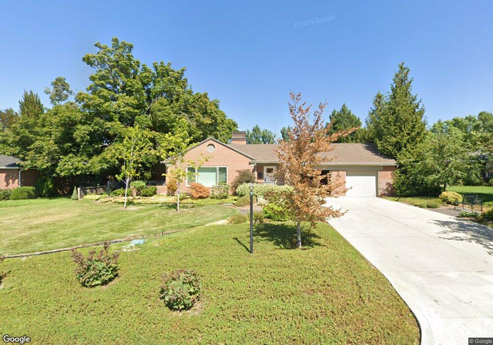
2069 E Marwood Cir Holladay, UT 84124
Estimated Value: $824,000 - $1,132,060
3
Beds
3
Baths
2,547
Sq Ft
$394/Sq Ft
Est. Value
About This Home
This home is located at 2069 E Marwood Cir, Holladay, UT 84124 and is currently estimated at $1,003,515, approximately $393 per square foot. 2069 E Marwood Cir is a home located in Salt Lake County with nearby schools including Crestview Elementary School, Olympus Junior High School, and Olympus High School.
Ownership History
Date
Name
Owned For
Owner Type
Purchase Details
Closed on
Mar 1, 2018
Sold by
Spader Jannie H
Bought by
Davely Laurel and Davely Roderick
Current Estimated Value
Purchase Details
Closed on
Jul 25, 2007
Sold by
Landform Llc
Bought by
Wright Tyler and Wright Adrienne
Purchase Details
Closed on
Mar 24, 2006
Sold by
Edman T Marvin and Edman Marilyn
Bought by
Landform Llc
Purchase Details
Closed on
Dec 29, 1995
Sold by
Jolley Bonna B
Bought by
Spader Jannie H
Home Financials for this Owner
Home Financials are based on the most recent Mortgage that was taken out on this home.
Original Mortgage
$130,000
Interest Rate
7.36%
Mortgage Type
Purchase Money Mortgage
Purchase Details
Closed on
Oct 26, 1995
Sold by
Jolley Bonna B
Bought by
Jolley Bonna B
Create a Home Valuation Report for This Property
The Home Valuation Report is an in-depth analysis detailing your home's value as well as a comparison with similar homes in the area
Home Values in the Area
Average Home Value in this Area
Purchase History
| Date | Buyer | Sale Price | Title Company |
|---|---|---|---|
| Davely Laurel | -- | First American Title | |
| Wright Tyler | -- | Cottonwood Title Ins Agency | |
| Landform Llc | -- | Cottonwood Title Ins Agency | |
| Spader Jannie H | -- | -- | |
| Jolley Bonna B | -- | -- |
Source: Public Records
Mortgage History
| Date | Status | Borrower | Loan Amount |
|---|---|---|---|
| Previous Owner | Spader Jannie H | $130,000 |
Source: Public Records
Tax History Compared to Growth
Tax History
| Year | Tax Paid | Tax Assessment Tax Assessment Total Assessment is a certain percentage of the fair market value that is determined by local assessors to be the total taxable value of land and additions on the property. | Land | Improvement |
|---|---|---|---|---|
| 2025 | $4,809 | $942,700 | $355,400 | $587,300 |
| 2024 | $4,809 | $870,400 | $344,500 | $525,900 |
| 2023 | $5,035 | $853,500 | $280,300 | $573,200 |
| 2022 | $4,902 | $868,800 | $274,800 | $594,000 |
| 2021 | $4,496 | $694,800 | $232,300 | $462,500 |
| 2020 | $4,238 | $607,400 | $224,800 | $382,600 |
| 2019 | $4,012 | $596,300 | $209,500 | $386,800 |
| 2018 | $0 | $343,500 | $209,500 | $134,000 |
| 2017 | $2,201 | $334,100 | $209,500 | $124,600 |
| 2016 | $1,938 | $295,900 | $209,500 | $86,400 |
| 2015 | $1,987 | $283,000 | $213,600 | $69,400 |
| 2014 | $1,903 | $266,600 | $209,500 | $57,100 |
Source: Public Records
Map
Nearby Homes
- 3985 Arco Cir
- 2087 Lincoln Ln
- 3995 S 2280 E
- 1870 E 3900 S
- 4305 S Albright Dr
- 1818 E 3900 S
- 4215 S Holladay Blvd
- 1801 E 3900 S
- 2384 E Summerspring Ln
- 2311 E Delia Dr
- 3916 Olympus Orchards Ln
- 4340 S Lynne Ln
- 4097 S Highland Dr Unit 3A
- 2415 Karren St
- 2241 E Melodie Ann Way
- 3983 S Mercury Dr
- 4119 S Winder Ward Dr Unit 3-106
- 3982 S Saturn Dr
- Turner 2 Plan at Axis
- 4128 S Winder Ward Dr Unit 2-122
- 2069 E Marrwood Dr
- 2069 Marrwood Dr
- 2057 Marrwood Dr
- 2081 Marrwood Dr
- 2074 E Maryland Cir
- 2070 Marrwood Dr
- 2070 E Marrwood Dr
- 3979 S Dewcrest Cir
- 2060 Marrwood Dr
- 2060 E Marrwood Dr
- 2060 E Marwood Cir
- 3979 Dewcrest Cir
- 2047 E Marrwood Dr
- 2047 Marrwood Dr
- 3984 Dewcrest Cir
- 2082 Marrwood Dr
- 2082 E Marrwood Dr
- 2077 E Maryland Cir
- 2077 E Maryland Cir
- 4010 Cumberland Dr