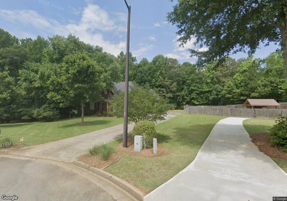
2069 Emily Dr Social Circle, GA 30025
Estimated Value: $410,000 - $499,000
--
Bed
1
Bath
2,317
Sq Ft
$194/Sq Ft
Est. Value
About This Home
This home is located at 2069 Emily Dr, Social Circle, GA 30025 and is currently estimated at $448,853, approximately $193 per square foot. 2069 Emily Dr is a home located in Walton County with nearby schools including Social Circle Primary School, Social Circle Elementary School, and Social Circle Middle School.
Ownership History
Date
Name
Owned For
Owner Type
Purchase Details
Closed on
Feb 1, 2002
Sold by
T & J Holmes Inc
Bought by
Lemonds Ruth B
Current Estimated Value
Purchase Details
Closed on
Oct 1, 2001
Sold by
Lemonds Grady P
Bought by
Lemonds Ruth B
Home Financials for this Owner
Home Financials are based on the most recent Mortgage that was taken out on this home.
Original Mortgage
$115,000
Interest Rate
6.87%
Mortgage Type
New Conventional
Create a Home Valuation Report for This Property
The Home Valuation Report is an in-depth analysis detailing your home's value as well as a comparison with similar homes in the area
Home Values in the Area
Average Home Value in this Area
Purchase History
| Date | Buyer | Sale Price | Title Company |
|---|---|---|---|
| Lemonds Ruth B | $9,800 | -- | |
| Lemonds Ruth B | -- | -- |
Source: Public Records
Mortgage History
| Date | Status | Borrower | Loan Amount |
|---|---|---|---|
| Previous Owner | Lemonds Ruth B | $115,000 |
Source: Public Records
Tax History Compared to Growth
Tax History
| Year | Tax Paid | Tax Assessment Tax Assessment Total Assessment is a certain percentage of the fair market value that is determined by local assessors to be the total taxable value of land and additions on the property. | Land | Improvement |
|---|---|---|---|---|
| 2024 | $2,245 | $176,480 | $26,400 | $150,080 |
| 2023 | $2,126 | $161,440 | $24,200 | $137,240 |
| 2022 | $851 | $147,760 | $24,200 | $123,560 |
| 2021 | $851 | $125,760 | $17,600 | $108,160 |
| 2020 | $872 | $117,760 | $13,200 | $104,560 |
| 2019 | $891 | $108,360 | $13,200 | $95,160 |
| 2018 | $891 | $108,360 | $13,200 | $95,160 |
| 2017 | $4,528 | $108,360 | $13,200 | $95,160 |
| 2016 | $925 | $92,240 | $13,200 | $79,040 |
| 2015 | $853 | $80,160 | $11,000 | $69,160 |
| 2014 | $855 | $76,640 | $0 | $0 |
Source: Public Records
Map
Nearby Homes
- 443 Windsong Ln
- 853 Crossroads Ct
- 1244 Morrow Dr
- 843 Crossroads Ct
- 821 Crossroads Ct
- 741 Jackson Ct
- 815 Crossroads Ct
- 939 Park Place St
- 960 Park Place St
- 931 Park Place St
- 381 Crossroads Dr
- 357 W Hightower Trail
- 226 Rogue Rd
- 695 Park Place Way
- 670 Park Place Way
- 690 Park Place Way
- 310 Crossroads Dr
- 433 Clover Dr
- 318 Richmond Dr
- (GA)The Ava | Front Entry Plan at Weslyn Park
- 2066 Emily Dr
- 2060 Emily Dr
- 367 Conner Ct
- 367 Conner Ct Unit 60
- 457 Windsong Ln
- 2055 Emily Dr Unit 15
- 2055 Emily Dr
- 461 Windsong Ln
- 371 Conner Ct
- 2036 Emily Dr
- 1023 Justin Cir
- 360 Conner Ct
- 453 Windsong Ln
- 467 Windsong Ln
- 1030 Justin Cir
- 460 Windsong Ln
- 640 W Hightower Trail
- 443 Windsong Ln Unit 72
- 443 Windsong Ln Unit 2
- 2020 Emily Dr