2069 Highway 211 NE Statham, GA 30666
Estimated Value: $468,000 - $672,000
3
Beds
6
Baths
3,618
Sq Ft
$150/Sq Ft
Est. Value
About This Home
This home is located at 2069 Highway 211 NE, Statham, GA 30666 and is currently estimated at $542,020, approximately $149 per square foot. 2069 Highway 211 NE is a home located in Barrow County with nearby schools including Statham Elementary School, Bear Creek Middle School, and Winder-Barrow High School.
Ownership History
Date
Name
Owned For
Owner Type
Purchase Details
Closed on
Dec 29, 2008
Sold by
Stepanek Joseph J
Bought by
Stepanek Joseph J and Stepanek Anthony
Current Estimated Value
Purchase Details
Closed on
Dec 3, 2003
Sold by
Blc Real Est Llc
Bought by
Stepanek Joseph J and Stepanek Anthony
Home Financials for this Owner
Home Financials are based on the most recent Mortgage that was taken out on this home.
Original Mortgage
$124,000
Interest Rate
5.98%
Mortgage Type
New Conventional
Purchase Details
Closed on
Aug 5, 2003
Sold by
Freeman Lonnie J
Bought by
Blc Real Estate Llc
Purchase Details
Closed on
Oct 25, 2002
Sold by
Liberty Land Corp
Bought by
Freeman Lonnie J
Purchase Details
Closed on
Nov 6, 2001
Sold by
Freeman Lonnie J And
Bought by
Liberty Land Corp
Purchase Details
Closed on
Mar 26, 1998
Sold by
Henson Thomas H And
Bought by
Freeman Lonnie J And
Purchase Details
Closed on
Jun 11, 1997
Sold by
Kinney Virlyn
Bought by
Henson Thomas
Create a Home Valuation Report for This Property
The Home Valuation Report is an in-depth analysis detailing your home's value as well as a comparison with similar homes in the area
Home Values in the Area
Average Home Value in this Area
Purchase History
| Date | Buyer | Sale Price | Title Company |
|---|---|---|---|
| Stepanek Joseph J | -- | -- | |
| Stepanek Joseph J | $155,000 | -- | |
| Blc Real Estate Llc | -- | -- | |
| Freeman Lonnie J | -- | -- | |
| Liberty Land Corp | -- | -- | |
| Freeman Lonnie J And | $285,000 | -- | |
| Henson Thomas | -- | -- |
Source: Public Records
Mortgage History
| Date | Status | Borrower | Loan Amount |
|---|---|---|---|
| Previous Owner | Stepanek Joseph J | $124,000 |
Source: Public Records
Tax History Compared to Growth
Tax History
| Year | Tax Paid | Tax Assessment Tax Assessment Total Assessment is a certain percentage of the fair market value that is determined by local assessors to be the total taxable value of land and additions on the property. | Land | Improvement |
|---|---|---|---|---|
| 2024 | $4,057 | $182,361 | $18,310 | $164,051 |
| 2023 | $3,552 | $182,361 | $18,310 | $164,051 |
| 2022 | $3,444 | $139,099 | $18,310 | $120,789 |
| 2021 | $3,189 | $123,739 | $12,933 | $110,806 |
| 2020 | $3,022 | $118,228 | $17,404 | $100,824 |
| 2019 | $3,079 | $118,228 | $17,404 | $100,824 |
| 2018 | $3,041 | $118,228 | $17,404 | $100,824 |
| 2017 | $3,092 | $106,192 | $17,404 | $88,788 |
| 2016 | $2,533 | $101,900 | $17,404 | $84,496 |
| 2015 | $2,541 | $101,900 | $17,404 | $84,496 |
| 2014 | $2,300 | $93,024 | $8,528 | $84,496 |
| 2013 | -- | $85,113 | $8,528 | $76,585 |
Source: Public Records
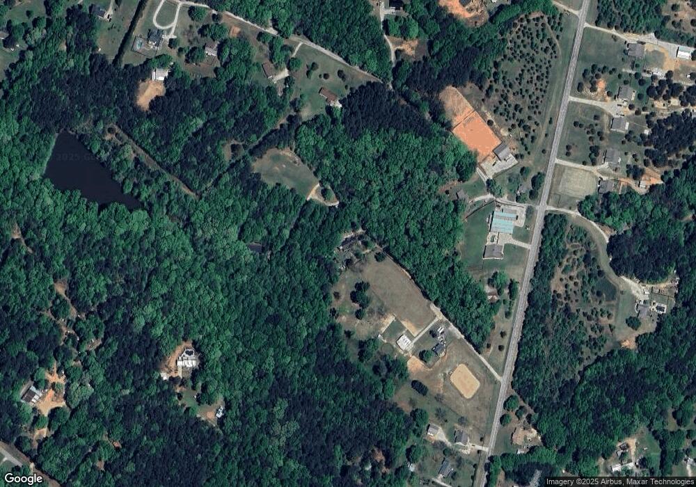
Map
Nearby Homes
- 2075 Georgia Highway 211
- 2075 Highway 211 NE
- 162 Ashton Ln
- 2141 Kirkland Dr
- 133 2nd St
- The Baxley Plan at Statham Place
- The Landon II Plan at Statham Place
- 310 Jacobs Ln
- 532 Hemlock Dr
- 1593 Highway 82
- 2070 Dooley Town Rd
- 1849 Dooley Town Rd
- 29 Nunnally Rd SE
- 410 Tori Dr
- 1916 Hearthstone Ct
- 1914 Hearthstone Ct
- 1816 Oak Spring St
- 0 Georgia 330
- 1917 Hearthstone Ct
- 1642 White Oak Dr
- 2053 Hwy 211ne
- 2065 Highway 211 NE
- 2065 Hwy 211ne
- 2053 Highway 211 NE
- 1860 Parker Dr
- 2047 Highway 211 NE
- 2076 Dooley Town Rd
- 1805 Parker Dr
- 2083 Hwy 211 NE
- 0 Parker Dr
- 1884 Parker Dr
- 2089 Highway 211 NE
- 1841 Parker Dr
- 2080 Highway 211 NE
- 2062 Dooley Town Rd
- 1896 Parker Dr
- 2001 Highway 211 NE
- 2082 Dooley Town Rd
- 2050 Highway 211 NE
- 1483 Dooley Town Dr