2069 Lake Forest Dr Mineral, VA 23117
Estimated Value: $1,715,000 - $2,209,586
9
Beds
9
Baths
4,685
Sq Ft
$431/Sq Ft
Est. Value
About This Home
This home is located at 2069 Lake Forest Dr, Mineral, VA 23117 and is currently estimated at $2,020,529, approximately $431 per square foot. 2069 Lake Forest Dr is a home located in Louisa County with nearby schools including Thomas Jefferson Elementary School, Louisa County Middle School, and Louisa County High School.
Ownership History
Date
Name
Owned For
Owner Type
Purchase Details
Closed on
Jul 28, 2005
Sold by
Virginia Electric And Power Co
Bought by
Mleziva Daniel M and Mleziva Mary B
Current Estimated Value
Purchase Details
Closed on
Apr 15, 2005
Sold by
Virginia Land & Lakes Inc
Bought by
Mleziva Daniel M and Mleziva Mary B
Home Financials for this Owner
Home Financials are based on the most recent Mortgage that was taken out on this home.
Original Mortgage
$650,000
Interest Rate
5.87%
Mortgage Type
Construction
Create a Home Valuation Report for This Property
The Home Valuation Report is an in-depth analysis detailing your home's value as well as a comparison with similar homes in the area
Home Values in the Area
Average Home Value in this Area
Purchase History
| Date | Buyer | Sale Price | Title Company |
|---|---|---|---|
| Mleziva Daniel M | -- | None Available | |
| Mleziva Daniel M | $394,900 | None Available |
Source: Public Records
Mortgage History
| Date | Status | Borrower | Loan Amount |
|---|---|---|---|
| Previous Owner | Mleziva Daniel M | $650,000 |
Source: Public Records
Tax History Compared to Growth
Tax History
| Year | Tax Paid | Tax Assessment Tax Assessment Total Assessment is a certain percentage of the fair market value that is determined by local assessors to be the total taxable value of land and additions on the property. | Land | Improvement |
|---|---|---|---|---|
| 2024 | $12,352 | $1,715,500 | $427,700 | $1,287,800 |
| 2023 | $10,170 | $1,486,800 | $388,100 | $1,098,700 |
| 2022 | $8,648 | $1,201,100 | $352,400 | $848,700 |
| 2021 | $5,460 | $1,059,300 | $316,800 | $742,500 |
| 2020 | $7,025 | $975,700 | $316,800 | $658,900 |
| 2019 | $6,926 | $961,900 | $316,800 | $645,100 |
| 2018 | $6,411 | $890,400 | $304,900 | $585,500 |
| 2017 | $5,655 | $790,700 | $304,900 | $485,800 |
| 2016 | $5,655 | $785,400 | $312,800 | $472,600 |
| 2015 | $5,797 | $805,200 | $320,800 | $484,400 |
| 2013 | -- | $834,700 | $344,500 | $490,200 |
Source: Public Records
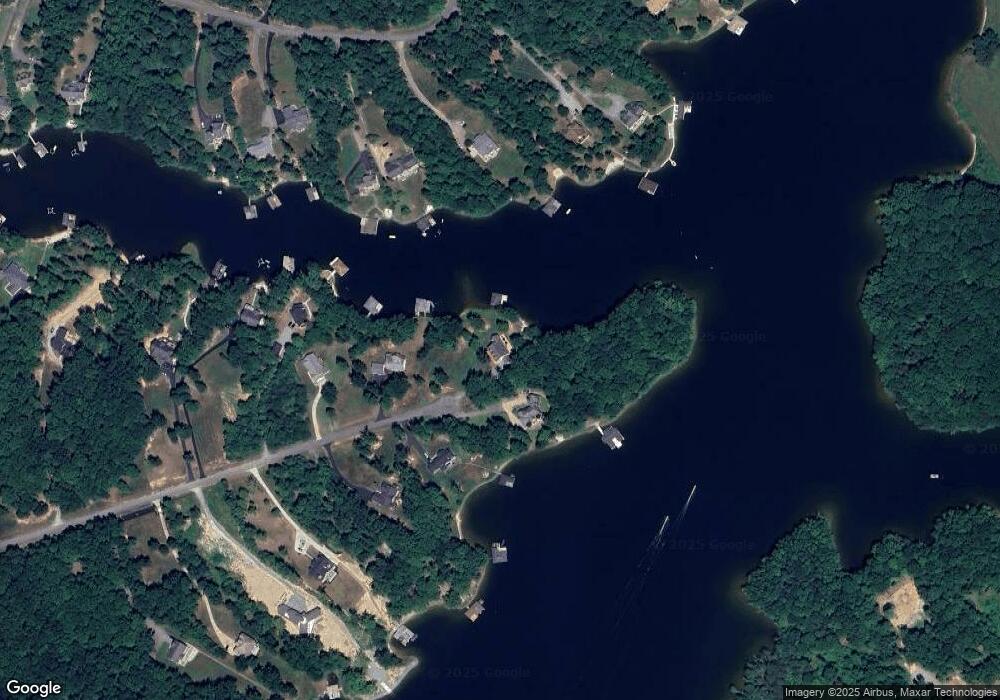
Map
Nearby Homes
- 150 Winchester Trail
- 0 Kangaroo Ct
- LOT 102 Acorn Dr
- 79,90 Hemlock Loop
- TBD Lake Forest Ct
- Lot 23 Anderson Way
- 0 Compass Cove Unit 24432199
- The Bancroft Plan at The Waters at Lake Anna
- Lot 62 Compass Cove
- 120 Holly Ct
- 201 Fleeter St
- 63 Lake Forest Dr
- TBD Holly Ct
- 134 Anderson Way
- 0 Cincinnati Place Unit VALA2008546
- 0 Lake Forest Dr Unit VALA2008320
- 132 Kentuck Place
- Robey Plan at Rock Island Landing
- Millwright II Plan at Rock Island Landing
- Windward II Plan at Rock Island Landing
- 2084 Lake Forest Dr
- 2501 Lake Forest Dr
- 2045 Lake Forest Dr
- 2050 Lake Forest Dr
- 2012 Lake Forest Dr
- 2001 Lake Forest Dr
- 442 Winchester Trail
- 408 Winchester Trail
- 386 Winchester Trail
- 0 Winchester Trail Unit LA10044193
- 1996 Lake Forest Dr
- 1973 Lake
- 376 Lake Forest Dr Dr Unit 376
- 478 Winchester Trail
- 490 Winchester Trail
- 1947 Lake Forest Dr
- 1960 Lake Forest Dr
- 368 Winchester Trail
- 358 Winchester Trail
- 360 Winchester Trail