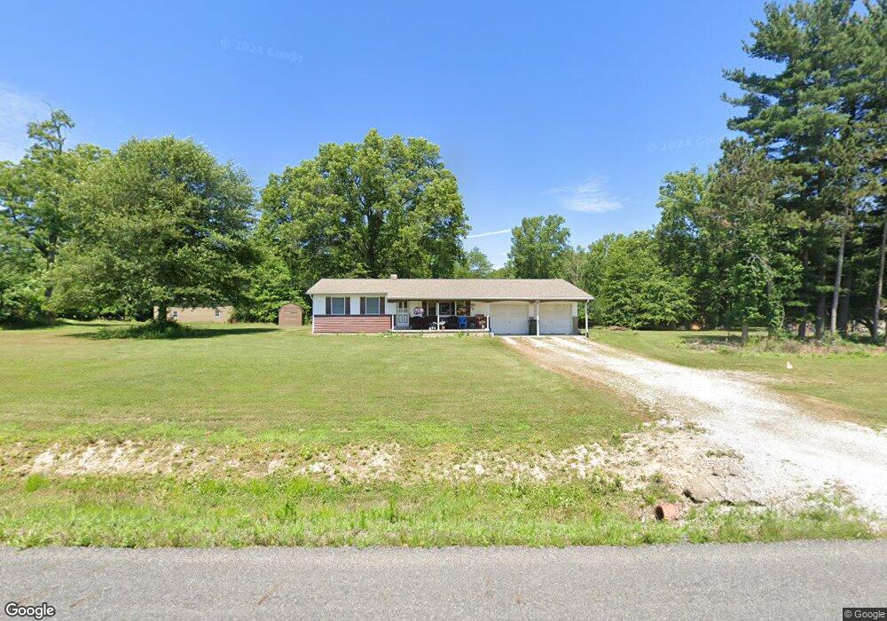
2069 Mahoning Rd Deerfield, OH 44411
Estimated Value: $170,000 - $233,000
2
Beds
1
Bath
1,120
Sq Ft
$186/Sq Ft
Est. Value
About This Home
This home is located at 2069 Mahoning Rd, Deerfield, OH 44411 and is currently estimated at $208,205, approximately $185 per square foot. 2069 Mahoning Rd is a home located in Portage County with nearby schools including Southeast High School.
Ownership History
Date
Name
Owned For
Owner Type
Purchase Details
Closed on
May 27, 2023
Sold by
Bryant Kevin David and Bryant Dana L
Bought by
Nalley Trina Louise and Nalley Justin
Current Estimated Value
Purchase Details
Closed on
Jul 15, 2020
Sold by
Buck Linda L
Bought by
Buck Linda L
Purchase Details
Closed on
May 31, 2017
Sold by
Hill Maedell L
Bought by
Linda L Buck
Purchase Details
Closed on
Jan 5, 1999
Sold by
Hill Maedell L and Hill Maedell
Bought by
Hill Orrin F
Create a Home Valuation Report for This Property
The Home Valuation Report is an in-depth analysis detailing your home's value as well as a comparison with similar homes in the area
Home Values in the Area
Average Home Value in this Area
Purchase History
| Date | Buyer | Sale Price | Title Company |
|---|---|---|---|
| Nalley Trina Louise | -- | None Listed On Document | |
| Buck Linda L | -- | None Available | |
| Linda L Buck | -- | -- | |
| Hill Orrin F | -- | Guardian Title |
Source: Public Records
Tax History Compared to Growth
Tax History
| Year | Tax Paid | Tax Assessment Tax Assessment Total Assessment is a certain percentage of the fair market value that is determined by local assessors to be the total taxable value of land and additions on the property. | Land | Improvement |
|---|---|---|---|---|
| 2024 | $1,766 | $69,760 | $28,070 | $41,690 |
| 2023 | $2,011 | $51,140 | $20,060 | $31,080 |
| 2022 | $2,089 | $51,140 | $20,060 | $31,080 |
| 2021 | $2,108 | $51,140 | $20,060 | $31,080 |
| 2020 | $1,856 | $43,270 | $20,060 | $23,210 |
| 2019 | $1,860 | $43,270 | $20,060 | $23,210 |
| 2018 | $1,558 | $43,440 | $19,640 | $23,800 |
| 2017 | $1,558 | $43,440 | $19,640 | $23,800 |
| 2016 | $1,552 | $43,440 | $19,640 | $23,800 |
| 2015 | $1,556 | $43,440 | $19,640 | $23,800 |
| 2014 | $1,587 | $43,440 | $19,640 | $23,800 |
| 2013 | $1,571 | $43,440 | $19,640 | $23,800 |
Source: Public Records
Map
Nearby Homes
- 2332 McClintocksburg Rd
- 1864 State Route 225
- 5925 Bedell Rd
- 1731 Ohio 225
- 17801 Ellsworth Rd
- 3330 Jones Rd
- 2953 State Route 225
- 1060 State Route 14
- 9663 Berlin Heights Dr
- 0 Ohio 14
- V/L State Route 225
- 3595 McClintocksburg Rd
- 10569 Shadyside Ln
- 1135 Mahoning Portage County Line Rd
- 10745 Leffingwell Rd
- 2282 Heston Dr
- 3642 State Route 225
- 3609 State Route 225
- 16986 Headland Ave
- 15862 W Akron-Canfield Rd
- 2065 Mahoning Rd
- 10416 Mottown Rd
- 2071 Bonner Rd
- 10355 Mottown Rd
- 2140 Mahoning Rd
- 2041 Bonner Rd
- 2003 Mahoning Rd
- 2029 Bonner Rd
- 10293 Mottown Rd
- 2076 Bonner Rd
- 1990 Mahoning Rd
- 2046 Bonner Rd
- 2058 Bonner Rd
- 1979 Mahoning Rd
- 2130 Bonner Rd
- 1970 Mahoning Rd
- 10260 Mottown Rd
- 1969 Mahoning Rd
- 2162 Bonner Rd
- 10237 Mottown Rd