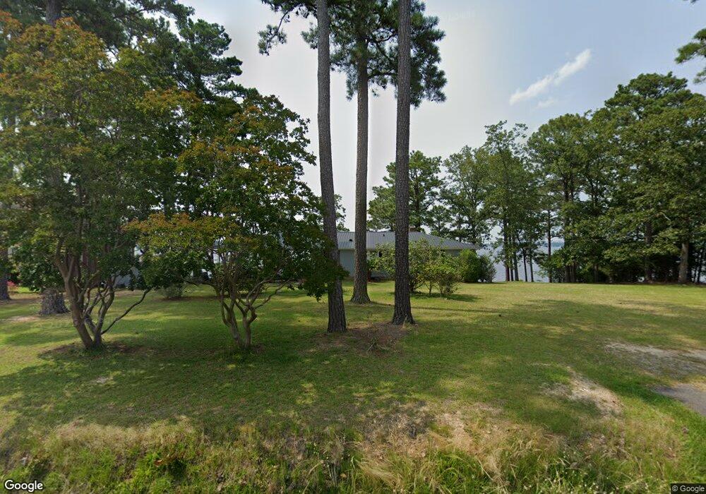
2069 Shull Ave Gilbert, SC 29054
Estimated Value: $545,899 - $959,000
3
Beds
2
Baths
1,392
Sq Ft
$472/Sq Ft
Est. Value
About This Home
This home is located at 2069 Shull Ave, Gilbert, SC 29054 and is currently estimated at $657,225, approximately $472 per square foot. 2069 Shull Ave is a home with nearby schools including Centerville Elementary School, Gilbert Middle School, and Gilbert High School.
Create a Home Valuation Report for This Property
The Home Valuation Report is an in-depth analysis detailing your home's value as well as a comparison with similar homes in the area
Home Values in the Area
Average Home Value in this Area
Tax History
| Year | Tax Paid | Tax Assessment Tax Assessment Total Assessment is a certain percentage of the fair market value that is determined by local assessors to be the total taxable value of land and additions on the property. | Land | Improvement |
|---|---|---|---|---|
| 2024 | -- | $13,844 | $11,865 | $1,979 |
| 2023 | $1,644 | $13,844 | $11,865 | $1,979 |
| 2022 | $1,648 | $13,844 | $11,865 | $1,979 |
| 2020 | $1,700 | $13,844 | $11,865 | $1,979 |
| 2019 | $1,872 | $12,039 | $11,760 | $279 |
| 2018 | $1,837 | $12,039 | $11,760 | $279 |
| 2017 | $1,782 | $12,039 | $11,760 | $279 |
| 2016 | $1,766 | $12,038 | $11,760 | $278 |
| 2014 | $1,683 | $11,999 | $11,800 | $199 |
| 2013 | -- | $12,000 | $11,800 | $200 |
Source: Public Records
Map
Nearby Homes
- 180 Lillian St
- 1633 Barracks Dr
- 1459 Bombing Range Rd
- 1148 Indian Summer Point
- 102 Royal Ct
- 1072 Libby Ariail Cir
- 215 Westridge Ct
- 604 Wisteria Key Place
- 1233 Shull Island Rd
- 120 Magnolia Key Dr
- 157 Collins Cove Dr
- 1317 Shore Rd
- 115 Pointe Overlook Dr
- 404 Jasmine Key Ln
- 249 Pointe Overlook Dr
- 1148 Shull Island Rd
- 117 Bay Pointe Dr
- 417 Oxenbridge Way
- 116 Aloha Ct
- 104 Bay Pointe Dr
Your Personal Tour Guide
Ask me questions while you tour the home.