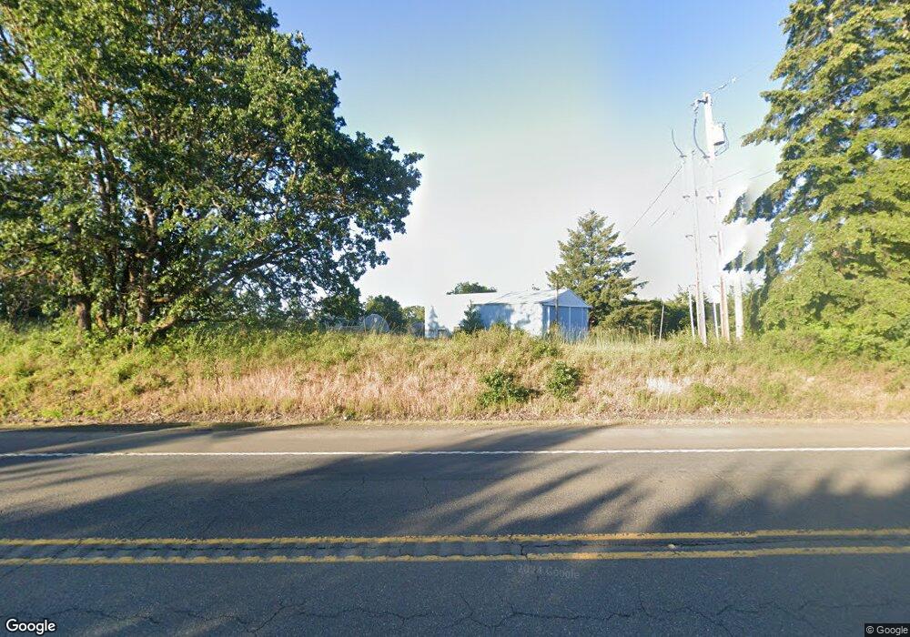
20690 Hwy 22 Hwy Sheridan, OR 97378
Estimated Value: $770,000 - $844,037
4
Beds
2
Baths
2,311
Sq Ft
$349/Sq Ft
Est. Value
About This Home
This home is located at 20690 Hwy 22 Hwy, Sheridan, OR 97378 and is currently estimated at $807,019, approximately $349 per square foot. 20690 Hwy 22 Hwy is a home located in Polk County with nearby schools including Willamina Elementary School, Willamina Middle School, and Willamina High School.
Ownership History
Date
Name
Owned For
Owner Type
Purchase Details
Closed on
Mar 31, 2025
Sold by
Alberto Massimo Brofferio Living Trust and Brofferio Alberto Massimo
Bought by
Brofferio Gina R and Brofferio Alberto Massimo
Current Estimated Value
Purchase Details
Closed on
Aug 22, 2024
Sold by
Alberto Massimo Brofferio Living Trust and Brofferio Alberto Massimo
Bought by
Brofferio Gina R and Brofferio Alberto Massimo
Home Financials for this Owner
Home Financials are based on the most recent Mortgage that was taken out on this home.
Original Mortgage
$241,500
Interest Rate
6.89%
Mortgage Type
Credit Line Revolving
Purchase Details
Closed on
Jan 12, 2012
Sold by
West Coast Bank
Bought by
Livi Brofferio Alberto Massimo and Alberto Massimo Brofferio Living Trust
Purchase Details
Closed on
Dec 30, 2009
Sold by
Thomas Lawrence Wayne
Bought by
West Coast Bank
Create a Home Valuation Report for This Property
The Home Valuation Report is an in-depth analysis detailing your home's value as well as a comparison with similar homes in the area
Home Values in the Area
Average Home Value in this Area
Purchase History
| Date | Buyer | Sale Price | Title Company |
|---|---|---|---|
| Brofferio Gina R | -- | Ticor Title | |
| Brofferio Gina R | -- | Ticor Title | |
| Livi Brofferio Alberto Massimo | -- | None Available | |
| West Coast Bank | $153,450 | Amerititle |
Source: Public Records
Mortgage History
| Date | Status | Borrower | Loan Amount |
|---|---|---|---|
| Previous Owner | Brofferio Gina R | $241,500 |
Source: Public Records
Tax History Compared to Growth
Tax History
| Year | Tax Paid | Tax Assessment Tax Assessment Total Assessment is a certain percentage of the fair market value that is determined by local assessors to be the total taxable value of land and additions on the property. | Land | Improvement |
|---|---|---|---|---|
| 2025 | $4,220 | $392,920 | $122,740 | $270,180 |
| 2024 | $4,220 | $381,480 | $119,160 | $262,320 |
| 2023 | $4,118 | $370,370 | $115,690 | $254,680 |
| 2022 | $3,973 | $359,590 | $112,320 | $247,270 |
| 2021 | $3,687 | $349,120 | $109,050 | $240,070 |
| 2020 | $3,565 | $338,960 | $105,870 | $233,090 |
| 2019 | $3,167 | $300,200 | $102,790 | $197,410 |
| 2018 | $1,991 | $189,990 | $99,790 | $90,200 |
| 2017 | $1,945 | $184,460 | $96,890 | $87,570 |
| 2016 | $1,971 | $179,090 | $94,070 | $85,020 |
| 2015 | $1,921 | $173,880 | $91,330 | $82,550 |
| 2014 | $1,745 | $168,820 | $88,680 | $80,140 |
Source: Public Records
Map
Nearby Homes
- 7555 Sawtell Rd
- 21560 Gooseneck Rd
- 8700 Steel Bridge Rd
- 22345 Oregon 22
- 5400 Violet Dr
- 21140 Salmon River Hwy
- 5655 Violet Dr
- 23340 Doane Creek Rd
- 9375 Steel Bridge Rd
- 3890 Mill Creek Rd
- 22650 Doane Creek Rd
- 21425 Savage Rd
- 17485 Oregon 22
- 17485 Highway 22
- 17485 Hwy 22
- 780 SW Hill Dr
- 253 SE Polk St
- 453 NE Yamhill St
- 20690 Highway 22
- 20550 Highway 22
- 6590 Ridgeway Rd
- 20790 Highway 22
- 20790 Hwy 22
- 0 Ridgeway (Next To) Rd Unit 6840
- 6770 Ridgeway Rd
- 6842 Ridgeway Rd
- 6841 Ridgeway Rd
- 6840 Ridgeway (Next To) Rd
- 6840 Ridgeway Rd
- 20250 Highway 22
- 20250 Highway 22
- 6825 Ridgeway Rd
- 20940 Stone Rd
- 0 Ridgeway (Next To 6840) Rd Unit 19-2598
- 20260 Highway 22
- 20260 Hwy 22
- 20540 Stone Rd
- 6645 Ridgeway Rd
