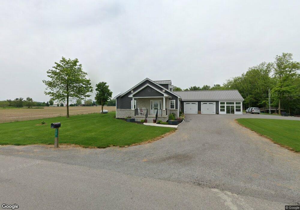
20691 Road P Cloverdale, OH 45827
Estimated Value: $252,107 - $405,000
--
Bed
1
Bath
1,773
Sq Ft
$182/Sq Ft
Est. Value
About This Home
This home is located at 20691 Road P, Cloverdale, OH 45827 and is currently estimated at $322,369, approximately $181 per square foot. 20691 Road P is a home with nearby schools including Kalida Elementary School and Kalida High School.
Ownership History
Date
Name
Owned For
Owner Type
Purchase Details
Closed on
Feb 5, 2021
Sold by
Wehri Robert V and Wehri Elaine H
Bought by
Jsd Ohio Llc
Current Estimated Value
Purchase Details
Closed on
Jun 13, 2018
Sold by
Warnement Donald M and Warnement David M
Bought by
Wehri Robert V and Wehri Elaine H
Home Financials for this Owner
Home Financials are based on the most recent Mortgage that was taken out on this home.
Original Mortgage
$110,000
Interest Rate
4.5%
Mortgage Type
Future Advance Clause Open End Mortgage
Create a Home Valuation Report for This Property
The Home Valuation Report is an in-depth analysis detailing your home's value as well as a comparison with similar homes in the area
Home Values in the Area
Average Home Value in this Area
Purchase History
| Date | Buyer | Sale Price | Title Company |
|---|---|---|---|
| Jsd Ohio Llc | -- | None Available | |
| Wehri Robert V | $60,000 | None Available |
Source: Public Records
Mortgage History
| Date | Status | Borrower | Loan Amount |
|---|---|---|---|
| Previous Owner | Wehri Robert V | $110,000 |
Source: Public Records
Tax History Compared to Growth
Tax History
| Year | Tax Paid | Tax Assessment Tax Assessment Total Assessment is a certain percentage of the fair market value that is determined by local assessors to be the total taxable value of land and additions on the property. | Land | Improvement |
|---|---|---|---|---|
| 2024 | $2,257 | $70,000 | $6,180 | $63,820 |
| 2023 | $2,520 | $51,450 | $4,640 | $46,810 |
| 2022 | $2,143 | $51,450 | $4,641 | $46,809 |
| 2021 | $1,894 | $51,450 | $4,641 | $46,809 |
| 2020 | $1,403 | $28,900 | $3,950 | $24,950 |
| 2019 | $640 | $29,850 | $4,640 | $25,210 |
| 2018 | $760 | $29,850 | $4,640 | $25,210 |
| 2017 | $716 | $29,850 | $4,640 | $25,210 |
| 2016 | $716 | $28,900 | $3,950 | $24,950 |
| 2015 | $700 | $28,900 | $3,950 | $24,950 |
| 2014 | $690 | $28,900 | $3,950 | $24,950 |
| 2013 | $720 | $28,900 | $3,950 | $24,950 |
Source: Public Records
Map
Nearby Homes
- 20501 U S 224
- 17736 Road 20p
- 0 Heritage Cir Unit 6112034
- 0 Heritage Cir Unit 303239
- 106 Carnation St
- 320 Auglaize St
- 0 Road 24-Q
- 15105 Road 15m
- 7510 State Route 66
- 0 Sr 115 & Rd J Unit 6128830
- 0 Sr 115 & Rd J
- 1220 Rose Anna Dr
- 1303 Carolyn Dr
- 148 S Water St
- 147 Elm St
- 650 E 6th St
- 810 N Franklin St
- 704 N Franklin St
- 903 E 3rd St
- 821 E 3rd St
- 20631 Road P
- 20876 Road P
- 16165 Road 20p
- 16119 Ohio 190
- 20350 Road P
- 16119 State Route 190
- 20836 Us Route 224
- 20277 Road P
- 15903 Road 22k
- 20220 Road P
- 16608 Road 20p
- 20501 Us Route 224
- 16413 State Route 190
- 20435 Us Route 224
- 16451 State Route 190
- 15730 Road 22k
- 15570 Road 22k
- 16822 Road 20p
- 20127 Us Route 224
- 20127 U S 224