20694 State Route 190 Delphos, OH 45833
Estimated Value: $419,000 - $582,655
4
Beds
2
Baths
1,894
Sq Ft
$264/Sq Ft
Est. Value
About This Home
This home is located at 20694 State Route 190, Delphos, OH 45833 and is currently estimated at $500,828, approximately $264 per square foot. 20694 State Route 190 is a home located in Putnam County with nearby schools including Fort Jennings Elementary School, Fort Jennings High School, and Delphos St. John's High School.
Ownership History
Date
Name
Owned For
Owner Type
Purchase Details
Closed on
Aug 15, 2019
Sold by
Rode John Henry and Rode Lindsay
Bought by
Rode Thomas Melvin and Rode Allison
Current Estimated Value
Purchase Details
Closed on
Aug 14, 2019
Sold by
Rode John Henry and Rode Lindsay
Bought by
Melvin Thomas and Rode Allison
Purchase Details
Closed on
May 27, 2019
Sold by
Cowdrey Richard Morris and Cowdrey William D
Bought by
Rode Thomas Melvin and Rode Allison
Create a Home Valuation Report for This Property
The Home Valuation Report is an in-depth analysis detailing your home's value as well as a comparison with similar homes in the area
Home Values in the Area
Average Home Value in this Area
Purchase History
| Date | Buyer | Sale Price | Title Company |
|---|---|---|---|
| Rode Thomas Melvin | $125,400 | None Available | |
| Melvin Thomas | -- | None Available | |
| Rode Thomas Melvin | -- | None Available | |
| Rode Thomas Melvin | $216,000 | None Available |
Source: Public Records
Tax History Compared to Growth
Tax History
| Year | Tax Paid | Tax Assessment Tax Assessment Total Assessment is a certain percentage of the fair market value that is determined by local assessors to be the total taxable value of land and additions on the property. | Land | Improvement |
|---|---|---|---|---|
| 2024 | $3,721 | $127,050 | $39,810 | $87,240 |
| 2023 | $3,845 | $91,220 | $22,330 | $68,890 |
| 2022 | $3,113 | $160,570 | $91,679 | $68,891 |
| 2021 | $3,136 | $90,850 | $22,330 | $68,520 |
| 2020 | $3,155 | $91,080 | $43,430 | $47,650 |
| 2019 | $3,064 | $90,030 | $34,030 | $56,000 |
| 2018 | $2,984 | $90,030 | $34,030 | $56,000 |
| 2017 | $2,757 | $90,030 | $34,030 | $56,000 |
| 2016 | $2,757 | $91,080 | $43,430 | $47,650 |
| 2015 | $3,027 | $91,080 | $43,430 | $47,650 |
| 2014 | $3,091 | $91,880 | $43,430 | $48,450 |
| 2013 | $2,239 | $68,060 | $19,610 | $48,450 |
Source: Public Records
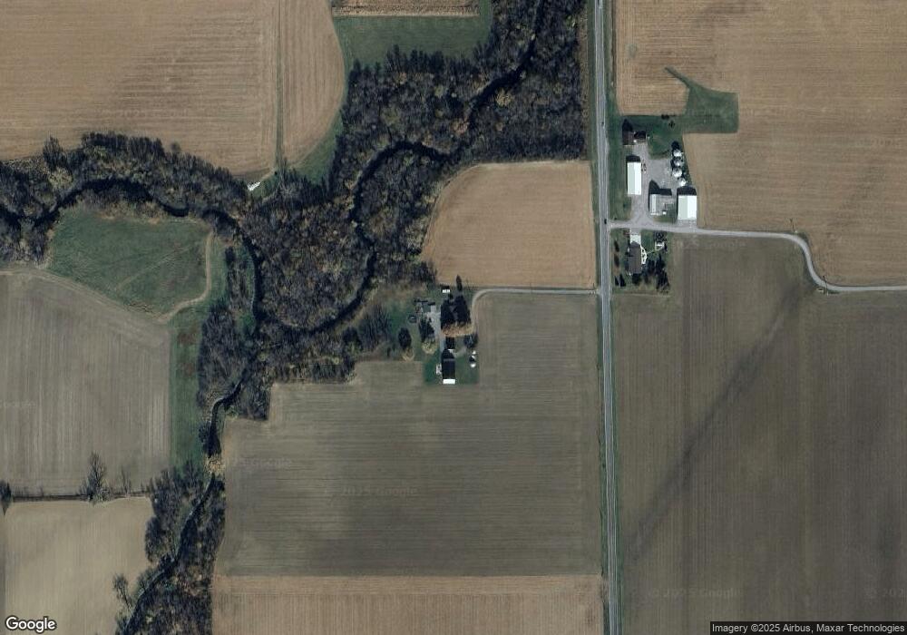
Map
Nearby Homes
- 1220 Rose Anna Dr
- 1303 Carolyn Dr
- 7510 State Route 66
- 810 N Franklin St
- 704 N Franklin St
- 650 E 6th St
- 628 N Pierce St
- 610 N Washington St
- 914 E 3rd St
- 903 E 3rd St
- 821 E 3rd St
- 405 N Franklin St
- 604 W 6th St
- 503 W 6th St
- 210 E 3rd St
- 616 W 5th St
- 633 E 2nd St
- 409 N Bredeick St
- 221 S Main St
- 8951 Brickner Rd