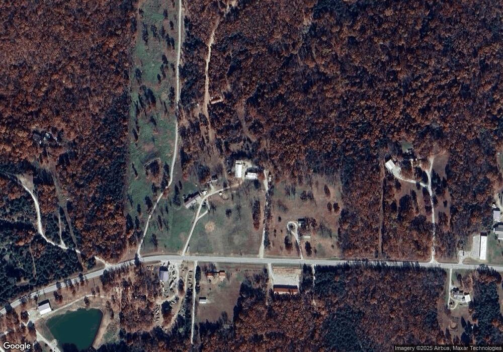
20695 State Highway 254 Wheatland, MO 65779
Estimated Value: $187,000 - $316,444
--
Bed
--
Bath
1,620
Sq Ft
$160/Sq Ft
Est. Value
About This Home
This home is located at 20695 State Highway 254, Wheatland, MO 65779 and is currently estimated at $258,815, approximately $159 per square foot. 20695 State Highway 254 is a home with nearby schools including Wheatland Elementary School and Wheatland High School.
Ownership History
Date
Name
Owned For
Owner Type
Purchase Details
Closed on
Jan 1, 2018
Bought by
Burnett William F and Burnett Deborah A
Current Estimated Value
Create a Home Valuation Report for This Property
The Home Valuation Report is an in-depth analysis detailing your home's value as well as a comparison with similar homes in the area
Home Values in the Area
Average Home Value in this Area
Purchase History
| Date | Buyer | Sale Price | Title Company |
|---|---|---|---|
| Burnett William F | -- | -- |
Source: Public Records
Tax History Compared to Growth
Tax History
| Year | Tax Paid | Tax Assessment Tax Assessment Total Assessment is a certain percentage of the fair market value that is determined by local assessors to be the total taxable value of land and additions on the property. | Land | Improvement |
|---|---|---|---|---|
| 2024 | $922 | $21,850 | $0 | $0 |
| 2023 | $918 | $21,850 | $0 | $0 |
| 2022 | $869 | $21,140 | $0 | $0 |
| 2021 | $862 | $21,140 | $0 | $0 |
| 2020 | $818 | $19,840 | $0 | $0 |
| 2019 | $813 | $19,840 | $0 | $0 |
| 2018 | $812 | $19,860 | $0 | $0 |
| 2017 | $809 | $19,860 | $0 | $0 |
| 2016 | $801 | $19,860 | $0 | $0 |
| 2015 | -- | $19,860 | $0 | $0 |
| 2013 | -- | $19,850 | $0 | $0 |
| 2012 | -- | $19,850 | $0 | $0 |
Source: Public Records
Map
Nearby Homes
- 22131 Pepper Ln
- 22161 Cedar Ln
- 22413 Bluebird Trail
- 21098 Timberline Ln
- 22415 Flintlock Trail
- 00000 County Road 205l
- 22115 County Road 271
- 22175 County Road 271
- 22455 County Road 203
- 19955 Missouri 254
- Lot 14 Canyon Dr
- Tbd County Road 203
- 22784 Squirrel Ln
- 22765 County Road 203
- Lot 10 Country Ridge Estates
- Lot 9 Country Ridge Estates
- Lot 8 Country Ridge Estates
- 20816 Valley View Trail
- 21594 County Road 189
- Lots 8 & 9 County Road 258
- 20607 State Highway 254
- 20739 State Highway 254
- 0 Cedar Ln Unit 60135846
- 0 Cedar Ln
- 20648 State Highway 254
- 20764 Missouri 254
- Rr Highway 254
- Lot 1+12 Clarkson Subdivision
- 20889 State Highway 254
- 21963 Black Rock Trail
- 22144 Cedar Ln
- 20921 Missouri 254
- 0 Alanis Cafe Unit 11111012
- 20918 Missouri 254
- 20984 State Highway 254
- 21930 Law Dog Ln
- 21964 Law Dog Ln
- 22172 Pepper Ln
- 0 Black Rock Trail Unit 60158678
- Rr Black Rock Trail
