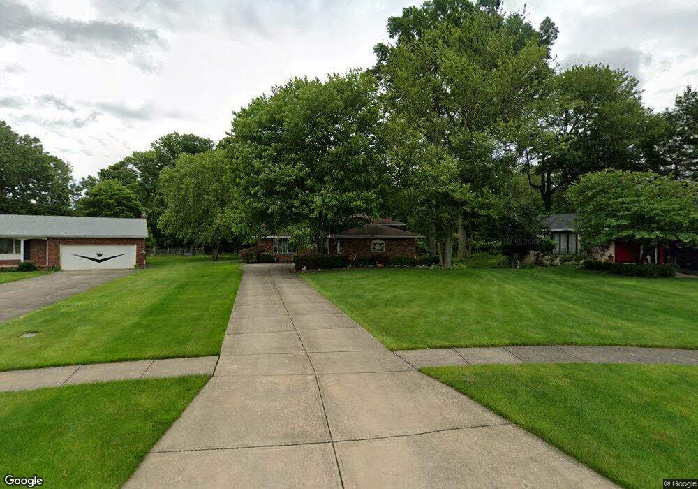
20697 Chestnut Dr Strongsville, OH 44149
Estimated Value: $327,921 - $369,000
3
Beds
2
Baths
2,244
Sq Ft
$155/Sq Ft
Est. Value
About This Home
This home is located at 20697 Chestnut Dr, Strongsville, OH 44149 and is currently estimated at $347,480, approximately $154 per square foot. 20697 Chestnut Dr is a home located in Cuyahoga County with nearby schools including Strongsville High School, St Mary School, and Sts Joseph & John Interparochial School.
Ownership History
Date
Name
Owned For
Owner Type
Purchase Details
Closed on
Apr 20, 2022
Sold by
John M Petryshin Revocable Living Trust and Petryshin John M
Bought by
Petryshin John M and Petryshin Rita A
Current Estimated Value
Purchase Details
Closed on
Jul 15, 1999
Sold by
Petryshin John M
Bought by
Petryshin John M
Purchase Details
Closed on
Aug 24, 1984
Sold by
Petryshin John M and Ruth Ann
Bought by
Petryshin John M
Purchase Details
Closed on
Jan 1, 1975
Bought by
Petryshin John M and Ruth Ann
Create a Home Valuation Report for This Property
The Home Valuation Report is an in-depth analysis detailing your home's value as well as a comparison with similar homes in the area
Home Values in the Area
Average Home Value in this Area
Purchase History
| Date | Buyer | Sale Price | Title Company |
|---|---|---|---|
| Petryshin John M | -- | None Listed On Document | |
| Petryshin John M | -- | -- | |
| Petryshin John M | -- | -- | |
| Petryshin John M | -- | -- |
Source: Public Records
Tax History Compared to Growth
Tax History
| Year | Tax Paid | Tax Assessment Tax Assessment Total Assessment is a certain percentage of the fair market value that is determined by local assessors to be the total taxable value of land and additions on the property. | Land | Improvement |
|---|---|---|---|---|
| 2024 | $4,098 | $97,090 | $20,860 | $76,230 |
| 2023 | $4,077 | $74,280 | $17,680 | $56,600 |
| 2022 | $4,073 | $74,270 | $17,680 | $56,600 |
| 2021 | $4,041 | $74,270 | $17,680 | $56,600 |
| 2020 | $3,633 | $60,870 | $14,490 | $46,380 |
| 2019 | $3,527 | $173,900 | $41,400 | $132,500 |
| 2018 | $3,179 | $60,870 | $14,490 | $46,380 |
| 2017 | $3,216 | $57,230 | $13,200 | $44,030 |
| 2016 | $3,190 | $57,230 | $13,200 | $44,030 |
| 2015 | $3,123 | $57,230 | $13,200 | $44,030 |
| 2014 | $3,123 | $55,550 | $12,810 | $42,740 |
Source: Public Records
Map
Nearby Homes
- 20424 Scotch Pine Way
- 19890 Idlewood Trail
- 20050 Idlewood Trail
- 9401 Pheasant Run Place
- 19997 Idlewood Trail
- 20684 Albion Rd
- 10986 Fawn Meadow Ln
- 10839 Prospect Rd
- 11179 Fawn Meadow Ln
- 21176 Hickory Branch Trail
- 21355 Hickory Branch Trail
- 19240 Briarwood Ln
- 10353 Oak Branch Trail
- 11432 Pearl Rd
- 11499 Pearl Rd Unit A106
- 8627 Courtland Dr
- 0 Priem Rd
- 12385 Corinth Ct
- 9829 Plum Brook Ln
- 12647 Edgepark Cir
- 20695 Chestnut Dr
- 9825 Hazelwood Ave
- Fair Rd
- 9823 Hazelwood Ave
- 20690 Chestnut Dr
- 9821 Hazelwood Ave
- 20691 Chestnut Dr
- 10020 Fair Rd
- 9982 Fair Rd
- 20688 Chestnut Dr
- 9819 Hazelwood Ave
- 20686 Chestnut Dr
- 9980 Fair Rd
- 20689 Chestnut Dr
- 9818 Hazelwood Ave
- 10236 Pamela Dr
- 9817 Hazelwood Ave
- 10228 Pamela Dr
- 20684 Chestnut Dr
- 9816 Hazelwood Ave