207 Allen Rd Tallapoosa, GA 30176
Estimated Value: $152,954 - $273,000
2
Beds
1
Bath
1,296
Sq Ft
$176/Sq Ft
Est. Value
About This Home
This home is located at 207 Allen Rd, Tallapoosa, GA 30176 and is currently estimated at $227,739, approximately $175 per square foot. 207 Allen Rd is a home located in Haralson County with nearby schools including Haralson County High School.
Ownership History
Date
Name
Owned For
Owner Type
Purchase Details
Closed on
Mar 26, 1996
Sold by
Ellis Terry Stanley
Bought by
Goodwin Trudie
Current Estimated Value
Purchase Details
Closed on
Aug 2, 1994
Sold by
Goodwin Trudy
Bought by
Ellis Terry
Purchase Details
Closed on
Mar 30, 1994
Sold by
Goodwin William T
Bought by
Goodwin Trudie
Purchase Details
Closed on
Jun 11, 1992
Sold by
Goodwin Ronnie D
Bought by
Goodwin Trudie
Purchase Details
Closed on
Sep 4, 1979
Sold by
Goodwin David Ray
Bought by
Chandler Trudy G
Create a Home Valuation Report for This Property
The Home Valuation Report is an in-depth analysis detailing your home's value as well as a comparison with similar homes in the area
Home Values in the Area
Average Home Value in this Area
Purchase History
| Date | Buyer | Sale Price | Title Company |
|---|---|---|---|
| Goodwin Trudie | $13,000 | -- | |
| Ellis Terry | $20,000 | -- | |
| Goodwin Trudie | -- | -- | |
| Goodwin Trudie | -- | -- | |
| Chandler Trudy G | -- | -- |
Source: Public Records
Tax History Compared to Growth
Tax History
| Year | Tax Paid | Tax Assessment Tax Assessment Total Assessment is a certain percentage of the fair market value that is determined by local assessors to be the total taxable value of land and additions on the property. | Land | Improvement |
|---|---|---|---|---|
| 2024 | $357 | $24,694 | $3,911 | $20,783 |
| 2023 | $85 | $27,728 | $4,340 | $23,388 |
| 2022 | $340 | $23,542 | $4,340 | $19,202 |
| 2021 | $331 | $22,734 | $4,340 | $18,394 |
| 2020 | $352 | $21,221 | $2,425 | $18,796 |
| 2019 | $381 | $21,715 | $2,425 | $19,290 |
| 2018 | $387 | $21,715 | $2,425 | $19,290 |
| 2017 | $374 | $20,028 | $2,425 | $17,603 |
| 2016 | $662 | $23,612 | $4,292 | $19,320 |
| 2015 | $653 | $23,296 | $4,292 | $19,004 |
| 2014 | $658 | $23,787 | $4,292 | $19,495 |
Source: Public Records
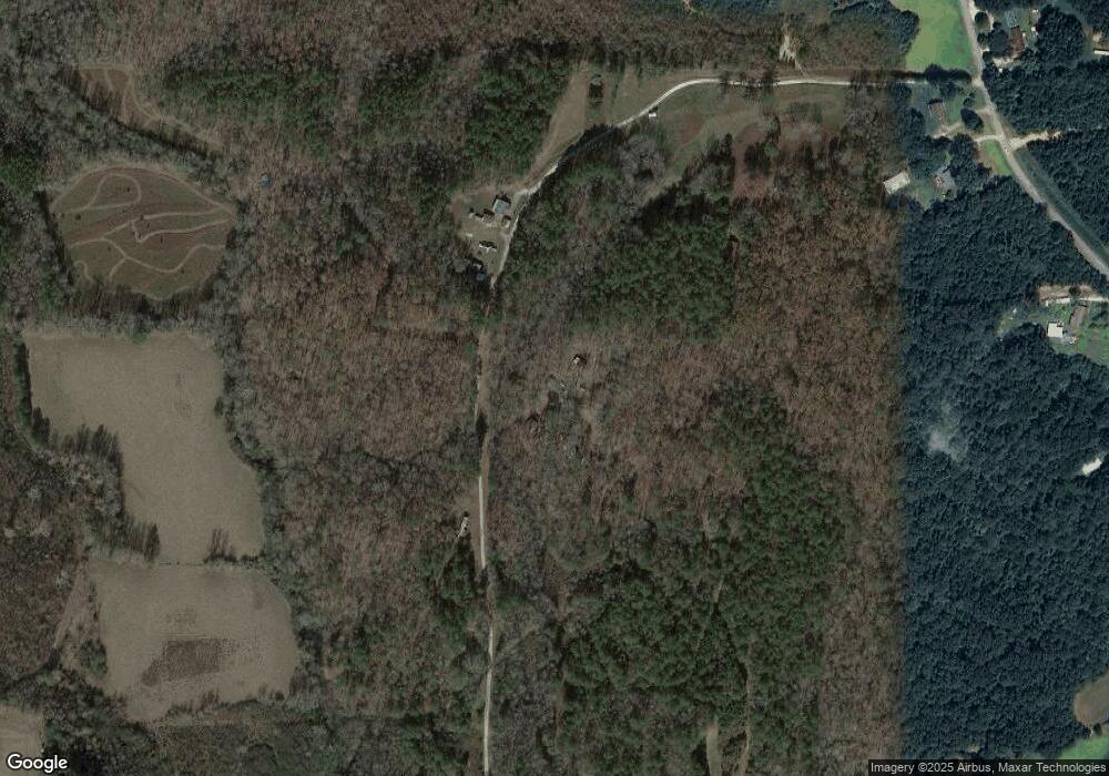
Map
Nearby Homes
- 0 Jacksonville Loop Unit 147556
- 0 Hagood Rd Unit 10506449
- 0 Hagood Rd Unit 5670400
- 215 Steadman Rd
- 897 George Green Rd
- 1304 Broad St
- 135 Oakland Ct
- 60 + - Acres at 295 J Davis Rd
- --- Steadman Rd Unit 32
- 183 Steadman Rd
- 0 W Us Hwy 78 Unit 147720
- 00 Us Hwy 78
- 0 Highway 78 E Unit 10511524
- 78 Pine Dr
- 171 James St
- 28 McDonald Ridge
- 77 McDonald Rd
- 35 James St
- --- Steadman #32 Rd
- 0 Steadman Rd Unit 10608314
- 0 Allen Rd
- 276 Allen Rd
- 1442 Steadman Rd
- 1450 Steadman Rd
- 88 Allen Rd
- 1390 Steadman Rd
- 1348 Steadman Rd
- 1477 Steadman Rd
- 1510 Steadman Rd
- 1574 Steadman Rd
- 46 Allen Rd
- 1481 Steadman Rd
- 1588 Steadman Rd
- 1856 Jacksonville Rd
- 15 Pleasant Dr
- 1820 Jacksonville Rd
- 1790 Jacksonville Rd
- 1359 Steadman Rd
- 1616 Steadman Rd
- 1974 Jacksonville Rd